
North Underwood Street in Camilla, Georgia
North Underwood Street in Camilla is a three-lane, asphalted residential street. It runs in a north-south direction starting from East Oakland Avenue and crosses East Broad Street and ends at South Underwood Street. Nearby there is a town hall.
- Road Type
- residential street
- Lanes
- 3
- Speed Limit
- 25 mph
- Route
- north-south
Image
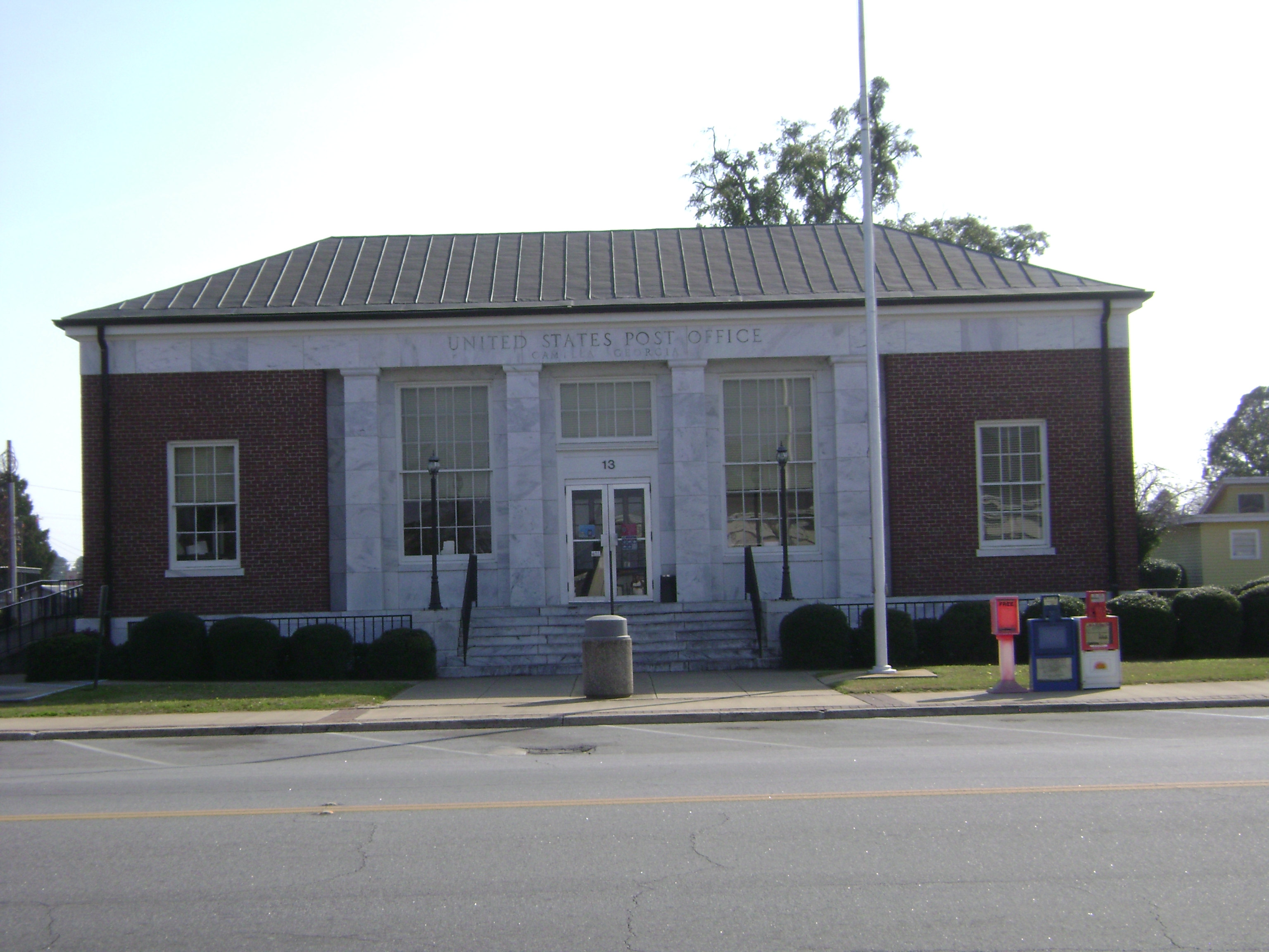
Town halls
Streets nearby
City Hall Alley250 ft
Twitty Street0.1 mi
South Harney Street0.1 mi
North Court Avenue0.1 mi
West Broad Street0.1 mi
South Court Avenue0.1 mi
South Underwood StreetFirst Baptist Church
0.2 mi
East Broad StreetCamilla Post Office, Redbox, BP
0.2 mi
North Scott StreetCamilla
0.2 mi
South Ellis StreetMitchell County Health Center
0.2 mi
North Ellis Street0.2 mi
East Church Street0.2 mi
West Church Street0.2 mi
North Butler Alley0.2 mi
Lewis Drive0.2 mi
Shiver Alley0.2 mi
South Butler Alley0.2 mi
Iona Street0.2 mi
Fern Alley0.2 mi
Fern Street0.2 mi
Perry StreetFirst Presbyterian Church
0.2 mi
West Stephens StreetCamilla Methodist Church
0.2 mi
West Oakland Avenue0.3 mi
South Scott Street0.3 mi
East Stephens StreetSaint Peters African Methodist Episcopal Church
0.3 mi
Beacon Alley0.3 mi
Swindle Street0.3 mi
Mira StreetUnion Baptist Church
0.3 mi
Beacon Street0.3 mi
Marietta Street0.3 mi
East Oakland AvenueGamo's Pizza
0.3 mi
Dyer Street0.4 mi
Cullens Street0.4 mi
Sunset Circle0.4 mi
West Thompson Street0.4 mi
East Thompson Street0.4 mi
Cemetery Road Northwest0.4 mi
North Harney StreetMitchell County Courthouse, Mitchell County Jail
0.4 mi
Henry Street0.4 mi
Martin Luther King Jr Road0.4 mi
Short Walker Street0.5 mi
Jester Street0.5 mi
Walker StreetChurch of Christ
0.5 mi
Auto parts stores nearby
O'Reilly Auto Parts0.4 mi
Cemeteries nearby
Sunset Historical Cemetery0.4 mi
Fast food restaurants nearby
Burger King0.4 mi
Libraries nearby
DeSoto Trail Regional Library0.3 mi
Variety stores nearby
Family Dollar0.2 mi
Dollar Tree0.4 mi
Public transit map Camilla Legend
| Railway | |
| Bus | |
| Streetcar |
Bicycle map Camilla Legend
| Bike path | |
| Bike lane on roadway | |
| Cycling allowed on bus lane | |
| Bicycle street | |
| Open to cyclists | |
| Open to cyclists, good path | |
| Cycling prohibited | |
| Cobblestone |
| Long-distance bike route | (depending on scale) | |
| Long-distance bike route |
Pedestrian map Camilla Legend
| Path |
| Long-distance hiking trail | (depending on scale) | |
| Long-distance hiking trail | ||
| Pedestrians prohibited |