
Henry Street in Augusta, Georgia
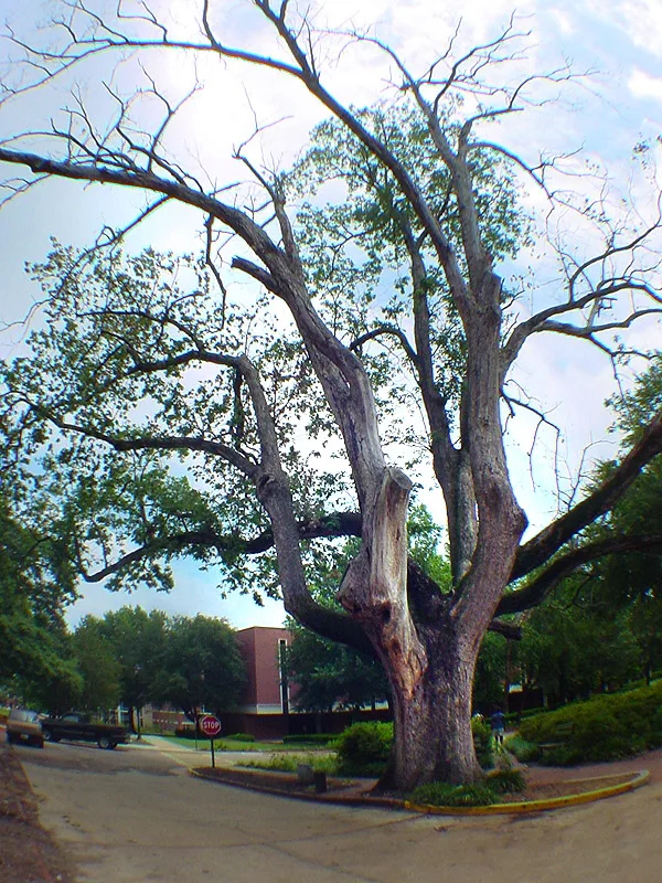
Henry Street in Augusta is a residential street. It runs in an east-west direction and crosses Beacon Hill Lane, Bransford Road, Fleming Avenue, Monte Sano Avenue, Highland Avenue and Peachtree Road. This street is part of the Bicycle route "US:GA 50". Henry Street also exists in Franklin County, Gwinnett County, Appling County, Henry County and Berrien County.
- Road Type
- residential street
- Route
- east-west
Image
Schools
Banks
Ice cream shops
Attractions
Beauty salons
Restaurants
Gas stations
Cafes
Herbalists
Police stations
Places of worship
Fast food restaurants
Bakeries
Hardware stores
Furniture stores
Streets nearby
Cumming Road200 ft
Fleming Avenue200 ft
North View Avenue450 ft
Dana Avenue500 ft
Mount Auburn StreetWeed School, Elm Baptist Church
0.1 mi
Porter Street0.2 mi
Reid StreetWilliams Memorial Church
0.2 mi
Monte Sano AvenueCafe Relic
0.3 mi
Langley Lane0.3 mi
Lawton Street0.3 mi
Williams StreetRobinson School
0.3 mi
Weed Street0.3 mi
Burdeshaw Lane0.3 mi
Oakland Avenue0.3 mi
Littleton Street0.3 mi
Hartford Street0.3 mi
Bransford Place0.3 mi
Katherine StreetAdas Yeshuron Synagogue
0.3 mi
1st Avenue0.3 mi
Hazel StreetWheeler Heights Baptist Church
0.3 mi
Delano Street0.3 mi
Earl Street0.3 mi
2nd AvenueGreater Mount Canaan Church
0.4 mi
Montgomery Street0.4 mi
Allen Street0.4 mi
Walton WayFoursquare Gospel Church, Woodlawn Baptist Church, SouthState Bank, Augusta, Summerville Dentistry, Coleman's Lunch Box, Diablo's Southwest Grill, Walgreens Specialty Pharmacy, Timbuktu Cafe
0.4 mi
Fitten Street0.5 mi
Buildings nearby
Guard House Museum0.2 mi
Purchasing Office0.3 mi
Bellevue Annex0.3 mi
Energy Plant0.4 mi
Alumni House0.4 mi
Cemeteries nearby
Arsenal Cemetery0.3 mi
Summerville Cemetery0.3 mi
Summerville Cemetery - Fitten Street0.5 mi
Libraries nearby
Appleby Branch0.4 mi
Places of worship nearby
Reid Memorial Presbyterian Church0.4 mi
Rock of Ages CME Church0.4 mi
Technical colleges nearby
Faculty Art Studios0.2 mi
University buildings nearby
Galloway Hall0.2 mi
University Hall0.2 mi
Grover C. Maxwell Performing Arts Theatre0.2 mi
Reese Library & Jaguar Student Activity Center0.3 mi
Fine Arts Center0.3 mi
Rains Hall0.3 mi
Washington Hall0.3 mi
Payne Hall0.3 mi
Benet House0.3 mi
Bellevue Hall0.3 mi
Public transit map Augusta Legend
| Railway | |
| Bus | |
| Streetcar |
Bicycle map Augusta Legend
| Bike path | |
| Bike lane on roadway | |
| Cycling allowed on bus lane | |
| Bicycle street | |
| Open to cyclists | |
| Open to cyclists, good path | |
| Cycling prohibited | |
| Cobblestone |
| Long-distance bike route | (depending on scale) | |
| Long-distance bike route |
Pedestrian map Augusta Legend
| Path |
| Long-distance hiking trail | (depending on scale) | |
| Long-distance hiking trail | ||
| Pedestrians prohibited |