
Johns Road in Augusta, Georgia
Johns Road in Augusta is a residential street. It runs in a north-south direction starting from Fitten Street and crosses Gardner Street, Mount Auburn Street, Cumming Road, Williams Street, Bransford Place, Walton Way, Pickens Road, McDowell Street, Kings Way, Queens Way and Central Avenue. It ends in a cul-de-sac. Johns Road also exists in DeKalb County, Paulding County and McDuffie County.
- Road Type
- residential street
- Route
- north-south
Image
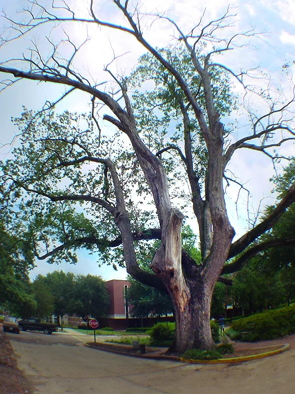
Restaurants
Fire stations
Convenience stores
Cafes
Banks
Places of worship
Post offices
Bakeries
Schools
Doctor's offices
Herbalists
Streets nearby
Pickens Road350 ft
Katherine StreetAdas Yeshuron Synagogue
450 ft
Dearing Street0.2 mi
McDowell Street0.2 mi
Patrol Drive0.2 mi
Anthony Road0.2 mi
Queens Way0.2 mi
Littleton Street0.2 mi
Kings WayThe Hill Baptist Church
0.2 mi
Stovall StreetSummerville Internal Medicine
0.3 mi
Lackman Lane0.3 mi
Summerhill Lane0.3 mi
Walton WayFoursquare Gospel Church, Woodlawn Baptist Church, SouthState Bank, Augusta, Summerville Dentistry, Coleman's Lunch Box, Diablo's Southwest Grill, Walgreens Specialty Pharmacy, Timbuktu Cafe
0.3 mi
Wingfield Street0.3 mi
Bransford Place0.3 mi
Heath Street0.3 mi
Central AvenueFood Lion, DQ Grill & Chill, Yankee Clippers, Richmond County Sheriff Substation, White Lotus Cleaners, World Finance Corporation, Ace Hardware, Cantina Lounge, She-Kinah, South Georgia Bank, Celebrate! on Central, Our Redeemer Evangelical Lutheran Church, Incendio
0.3 mi
Williams StreetRobinson School
0.4 mi
Winter Street0.4 mi
Hickman Arms Apts0.4 mi
Ansley Place West0.4 mi
Junior Achievement Road0.4 mi
Milledge RoadWKZK-AM (North Augusta)
0.4 mi
Richmond LaneUSPS
0.4 mi
Troupe StreetFire Station Number 7
0.4 mi
Hickman Road0.4 mi
Meigs StreetMidtown Market Of Augusta, LLC
0.4 mi
Ansley Place0.5 mi
Richmond AvenueMonte Sano School
0.5 mi
Cobb Street0.5 mi
Buildings nearby
Boykin Wright200 ft
Office of Protocol & Special Events350 ft
Alumni House450 ft
Energy Plant0.1 mi
Radio Station0.1 mi
Archaeology Lab0.2 mi
Guard House Museum0.3 mi
Cemeteries nearby
Sand Hills Cemetery0.4 mi
Houses nearby
Maxwell Alumni House450 ft
Libraries nearby
Appleby Branch0.3 mi
Places of worship nearby
Church of the Good Shepherd0.3 mi
Reid Memorial Presbyterian Church0.3 mi
Woodlawn United Methodist Church0.3 mi
Restaurants nearby
Beck's0.4 mi
Technical colleges nearby
Faculty Art Studios0.2 mi
University buildings nearby
Washington Hall0.2 mi
Science Hall0.3 mi
Galloway Hall0.3 mi
Reese Library & Jaguar Student Activity Center0.3 mi
Public transit map Augusta Legend
| Railway | |
| Bus | |
| Streetcar |
Bicycle map Augusta Legend
| Bike path | |
| Bike lane on roadway | |
| Cycling allowed on bus lane | |
| Bicycle street | |
| Open to cyclists | |
| Open to cyclists, good path | |
| Cycling prohibited | |
| Cobblestone |
| Long-distance bike route | (depending on scale) | |
| Long-distance bike route |
Pedestrian map Augusta Legend
| Path |
| Long-distance hiking trail | (depending on scale) | |
| Long-distance hiking trail | ||
| Pedestrians prohibited |