
South Lexington Street in Lyons, Georgia
South Lexington Street in Lyons is a residential street. It runs in a north-south direction starting from Southeast Broad Street and crosses East Liberty Avenue, Reidsville Road, East Grady Avenue, East Stuart Avenue and Gordon Avenue and ends at East Gordon Avenue.
- Road Type
- residential street
- Speed Limit
- 25 mph
- Route
- north-south
Image
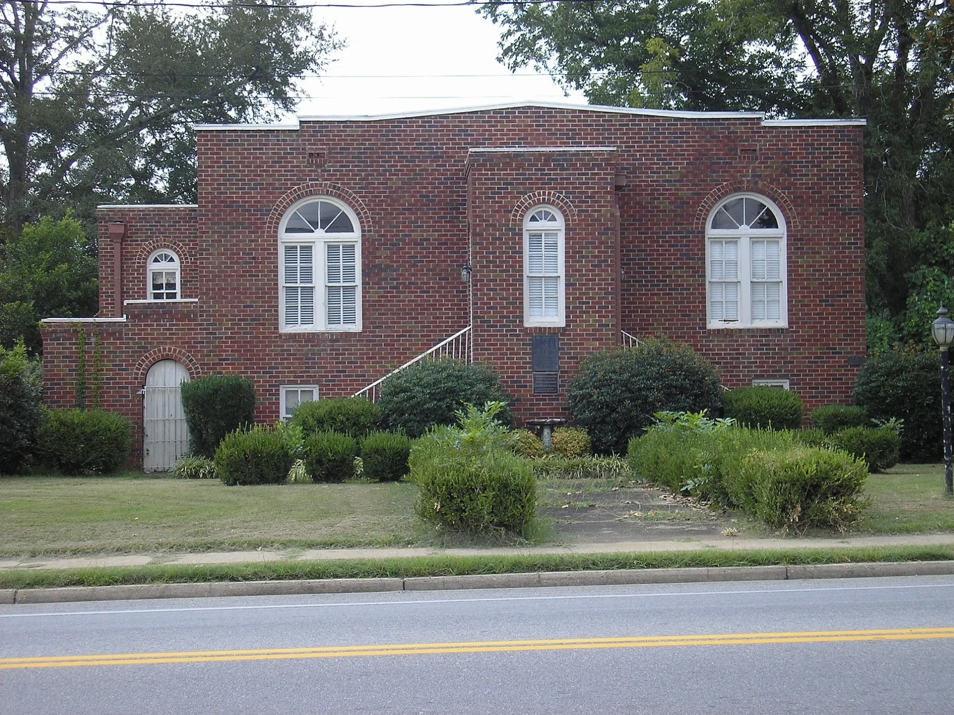
Town halls
Places of worship
Restaurants
Post offices
Courthouses
Streets nearby
South Lanier Street450 ft
East Grady Avenue500 ft
South Hall Street0.1 mi
East Stuart Avenue0.1 mi
Gordon AvenueEast Gordon Street Baptist Church
0.1 mi
East Gordon Avenue0.2 mi
Northeast Broad StreetLyons
0.2 mi
South Madison Street0.2 mi
East Liberty Avenue0.2 mi
South State Street0.2 mi
West Liberty AvenueFirst Baptist Church
0.2 mi
Columbia Lane0.2 mi
East Columbia Avenue0.3 mi
Madison Street0.3 mi
Southwest Broad Street0.3 mi
North Hall Street0.3 mi
Southeast Broad Street0.3 mi
North Madison Street0.3 mi
South Monroe Street0.3 mi
Wesley Lane0.3 mi
West Clifton Avenue0.4 mi
Pine Avenue0.4 mi
North Monroe Street0.4 mi
West Stuart Avenue0.4 mi
South Jefferson Street0.4 mi
Jefferson Street0.4 mi
North Lanier StreetFirst Methodist Church
0.4 mi
West Grady Avenue0.4 mi
South Washington StreetHardwares Pizza
0.4 mi
11th Street0.4 mi
South Gwinnett Street0.4 mi
Reidsville Road0.5 mi
Miot Street0.5 mi
East McNatt Avenue0.5 mi
Poplar Avenue0.6 mi
Magnolia Street0.6 mi
Callaway Circle0.6 mi
Oak Avenue0.6 mi
Wilson Avenue0.6 mi
Aiken Street0.7 mi
Buildings nearby
Lyons Fire Dept.0.1 mi
Lyons City Hall0.2 mi
Cafes nearby
Roxys Diner0.6 mi
Libraries nearby
Lyons Public Library0.3 mi
Parks nearby
Lyons Gazebo0.2 mi
Places of worship nearby
First United Methodist Church0.3 mi
Restaurants nearby
Rio Grande Mexican Restaurant0.2 mi
Retail buildings nearby
Lyons Plaza0.3 mi
Supermarkets nearby
Dollar General Market0.2 mi
Public transit map Lyons Legend
| Railway | |
| Bus | |
| Streetcar |
Bicycle map Lyons Legend
| Bike path | |
| Bike lane on roadway | |
| Cycling allowed on bus lane | |
| Bicycle street | |
| Open to cyclists | |
| Open to cyclists, good path | |
| Cycling prohibited | |
| Cobblestone |
| Long-distance bike route | (depending on scale) | |
| Long-distance bike route |
Pedestrian map Lyons Legend
| Path |
| Long-distance hiking trail | (depending on scale) | |
| Long-distance hiking trail | ||
| Pedestrians prohibited |