
Vidalia, Georgia
Vidalia is located in Toombs County. About 10,785 people live here (as of 2020). Between 2010 and 2020, the population grew from 10,473 to 10,785. The region is at 91 meters above sea level. The area covers about 45.9 square kilometers. There are about 620 streets in Vidalia. The ZIP codes are 30474–30475. The dialing code is 912. Vidalia is city in Toombs County and Montgomery County, Georgia, United States. Among other things, Vidalia has restaurants, cafés, schools, banks, hair Salons and dentists. More information at www.vidaliaga.com.
Vidalia – Facts
| Population | 10785 |
|---|---|
| Area | 45.9 km² |
| Elevation | 91 m |
| Located in | Toombs County, Montgomery County |
| Postal code | 30474 |
| Country | United States |
| Official name | Vidalia |
| Website | http://www.vidaliaga.com/ |
Data source: Wikidata (CC0)
Photos from Vidalia
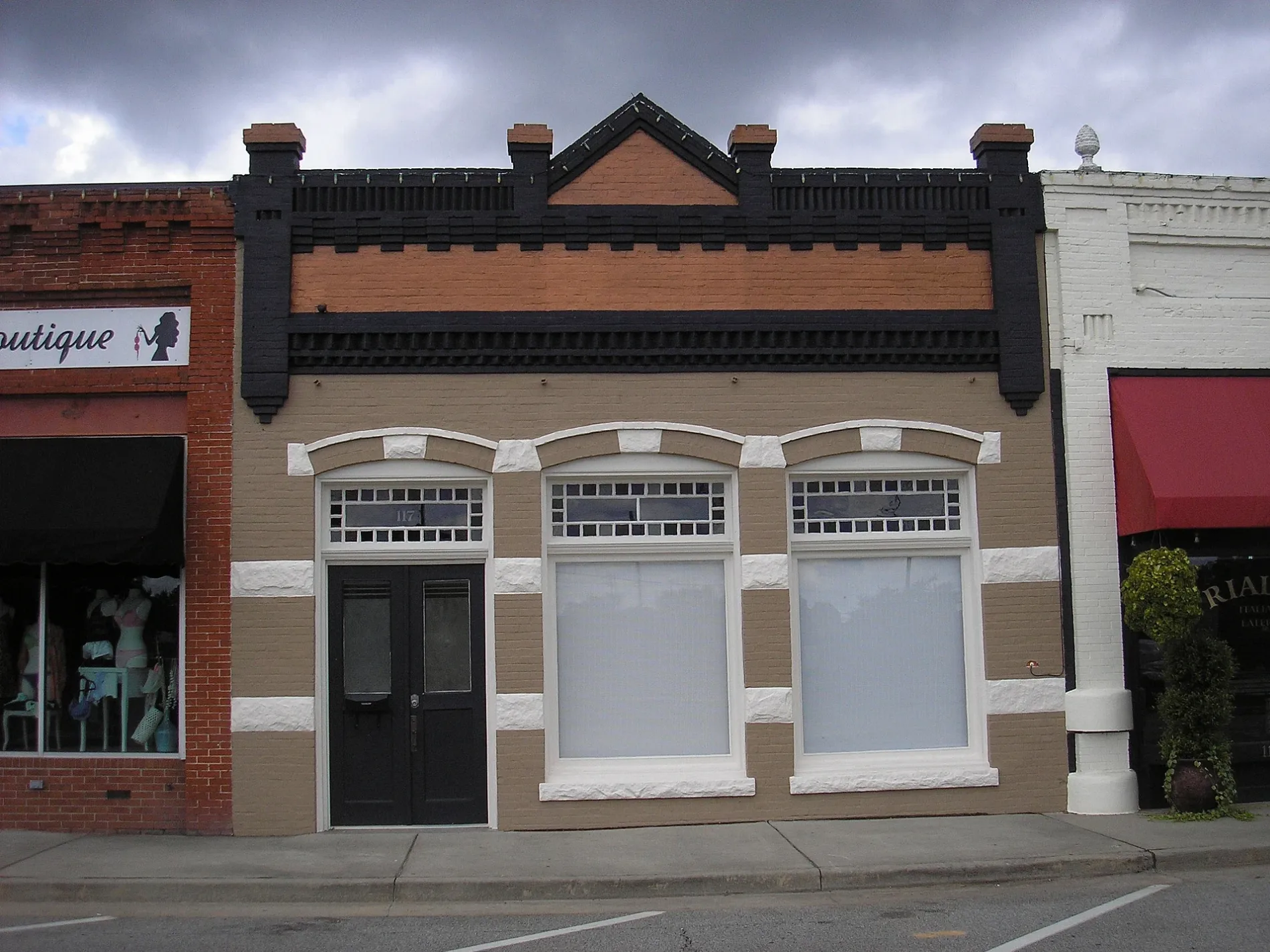
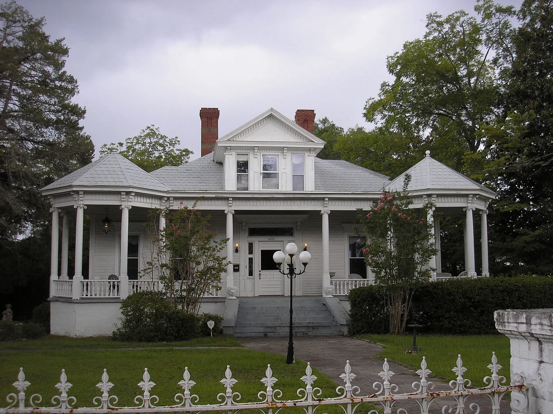
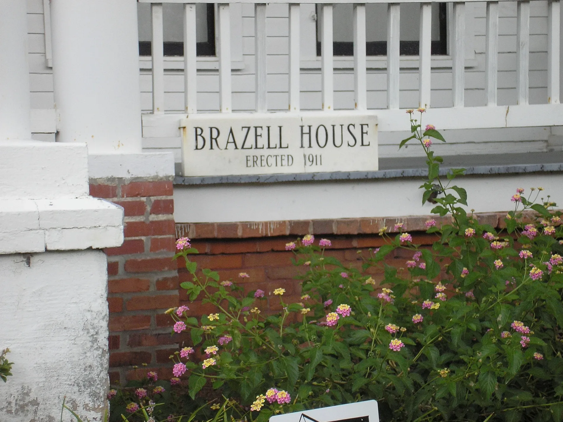
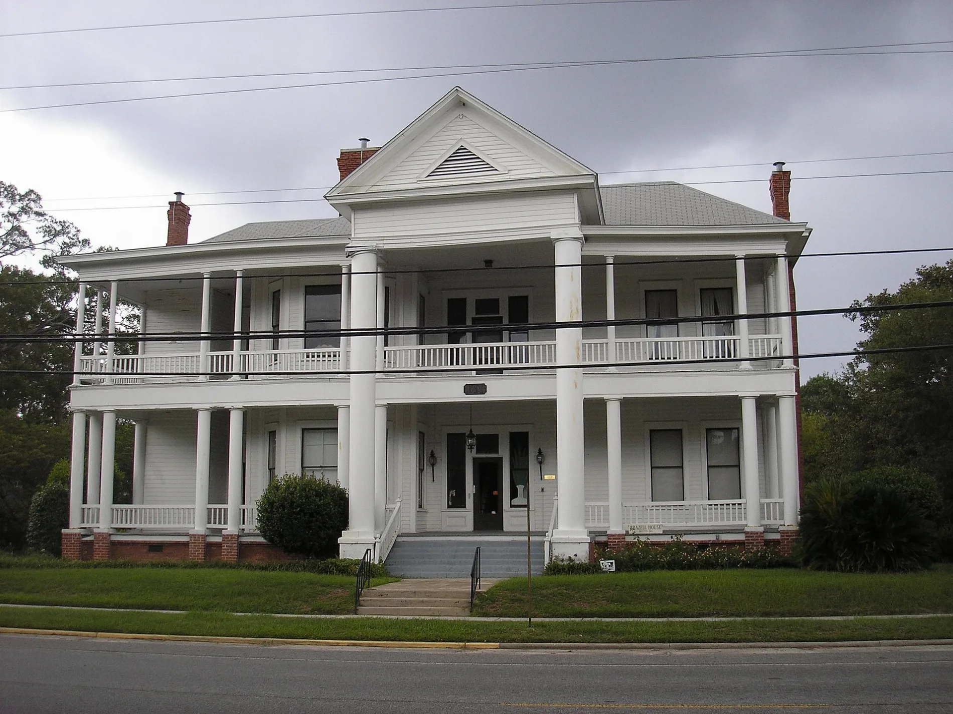
Streets in Vidalia, Georgia
Streets
Jackson Street
Rialto, Vallartas, High Cotton Hair Salon
Meadows StreetSmores Coffee Shop, Downtown Bistro, Fine Tuned Electronics
1st StreetVidalia, Vidalia Methodist Church, Papa Buck's, Toombs County Area Technical Institute
East 3rd StreetVidalia Presbyterian Church, Vidalia Post Office, Jordan Dental of Vidalia
East 2nd StreetVidalia Methodist Church, Altamaha Bank
Pete Phillips DriveOrthodontic center, Dental center of Vidalia
Rigsbee DriveRio Grande Mexican Restaurant
College StreetVidalia School
Martin Luther King Jr BoulevardFirst African Baptist Church
Church StreetFirst Baptist Church
Ward StreetTabernacle Baptist Church
Lessie StreetMcDonald's
Broadfoot BoulevardHandy Andy
Commerce WayAgSouth
Durden StreetVidalia City Park Fountain
Meadows LaneEpiscopal Church of the Annunciation
Southeast Main StreetTienda Los Olivos
Dickerson DriveSaint Paul African Methodist Episcopal Church
Mabeth Drive
Robinson Road
8th Street
Industrial Lane
Larry Drive
Jones Street
Commerce Drive
West Oxley Boulevard
Estroff Drive
Hall Way
Toombs Street
Old Airport Road
Katherine Drive
Macon Avenue
Bob Sharpe Road
5th Street
Williams Court
Marcliff Road
Barron Street
Lynda Drive
Clayton Street
Darby Drive
Cambridge Court
James Wilson Drive
Country Club Drive
Thompson Church Road
Edwina Drive
Jerry Street
Peachtree Street
Hugh Taylor Road
Truman Street
Blueberry Lane
McAllister Drive
McIntosh Street
Agan Drive
White Street
Charles Drive
Leader Street
Loop Road sidewalk
Madison Street
Calendar Road
Beechwood Drive
Slayton Street
West Jenkins Street
North McSwain Drive
Caroline Drive
Lewis Drive
North Smalley Drive
Lugenia Boulevard
Stockyard Road
Pine Street
Louisiana Drive
West 9th Street
Commerce Loop
Green StreetCemeteries
Fast food restaurants
Gas stations
Waters
Public transit map Vidalia Legend
| Railway | |
| Bus | |
| Streetcar |
Bicycle map Vidalia Legend
| Bike path | |
| Bike lane on roadway | |
| Cycling allowed on bus lane | |
| Bicycle street | |
| Open to cyclists | |
| Open to cyclists, good path | |
| Cycling prohibited | |
| Cobblestone |
| Long-distance bike route | (depending on scale) | |
| Long-distance bike route |
Pedestrian map Vidalia Legend
| Path |
| Long-distance hiking trail | (depending on scale) | |
| Long-distance hiking trail | ||
| Pedestrians prohibited |