
walking path in Vidalia, Georgia
Walking path in Vidalia is a lit footpath. The street has a width of 20. It runs in a northeast-southwest direction starting from 1st Street and crosses East 2nd Street and ends at East 3rd Street. walking path also exists in Whitfield County.
- Road Type
- footpath
- Bicycle
- yes
- Route
- northeast-southwest
Image
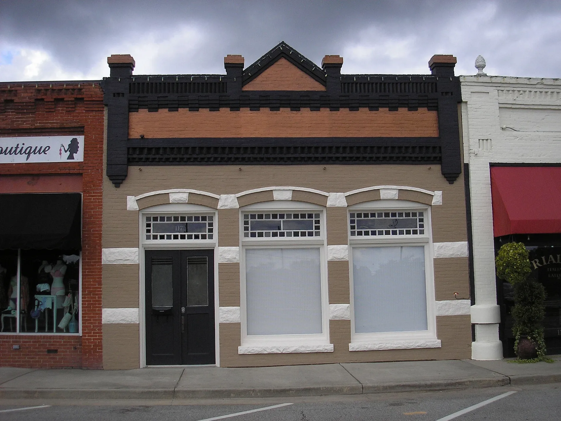
Cafes
Electronics stores
Hair salons
Post offices
Fountains
Hardware stores
Places of worship
Dentist offices
Restaurants
Schools
Banks
Convenience stores
Fast food restaurants
Streets nearby
East 2nd StreetVidalia Methodist Church, Altamaha Bank
250 ft
Meadows StreetSmores Coffee Shop, Downtown Bistro, Fine Tuned Electronics
550 ft
Leader Street0.1 mi
East 3rd StreetVidalia Presbyterian Church, Vidalia Post Office, Jordan Dental of Vidalia
0.1 mi
Southwest Main Street0.2 mi
Jackson StreetRialto, Vallartas, High Cotton Hair Salon
0.2 mi
Adams Street0.2 mi
West 4th Street0.3 mi
Durden StreetVidalia City Park Fountain
0.3 mi
College StreetVidalia School
0.3 mi
West 3rd Street0.3 mi
Southeast Main StreetTienda Los Olivos
0.3 mi
Morris Street0.3 mi
East 5th Street0.3 mi
Everett Street0.3 mi
West 5th Street0.3 mi
Pine Street0.4 mi
Thompson Street0.4 mi
Savannah Avenue0.4 mi
McIntosh Street0.4 mi
West Jenkins Street0.4 mi
West Main Street0.4 mi
Currie Street0.4 mi
West 6th Street0.4 mi
Montgomery Alley0.4 mi
Brown Street0.4 mi
Montgomery Street0.4 mi
Oak Street0.5 mi
Vann Street0.5 mi
West 2nd Street0.5 mi
Kenworth Street0.5 mi
Rimando Drive0.5 mi
Ward StreetTabernacle Baptist Church
0.5 mi
Truett Street0.5 mi
Donovan Street0.6 mi
David Street0.6 mi
1st StreetVidalia, Vidalia Methodist Church, Papa Buck's, Toombs County Area Technical Institute
0.6 mi
Banks nearby
Altamaha Bank & Trust0.1 mi
Vidalia Federal Savings Bank0.1 mi
Cemeteries nearby
McMillan Burial Ground0.1 mi
Libraries nearby
Vidalia-Toombs County Library0.4 mi
Movie theaters nearby
Pal Theatre350 ft
Parks nearby
Vidalia Downtown Gazebo0.1 mi
Vidalia City Park0.1 mi
Ben Smith Park & Splash Pad0.2 mi
Gaynelle Davis Park0.4 mi
Railways nearby
Heart of Georgia Railroad0.2 mi
Georgia Central Railway0.2 mi
Vidalia City Line0.3 mi
Public transit map Vidalia Legend
| Railway | |
| Bus | |
| Streetcar |
Bicycle map Vidalia Legend
| Bike path | |
| Bike lane on roadway | |
| Cycling allowed on bus lane | |
| Bicycle street | |
| Open to cyclists | |
| Open to cyclists, good path | |
| Cycling prohibited | |
| Cobblestone |
| Long-distance bike route | (depending on scale) | |
| Long-distance bike route |
Pedestrian map Vidalia Legend
| Path |
| Long-distance hiking trail | (depending on scale) | |
| Long-distance hiking trail | ||
| Pedestrians prohibited |