
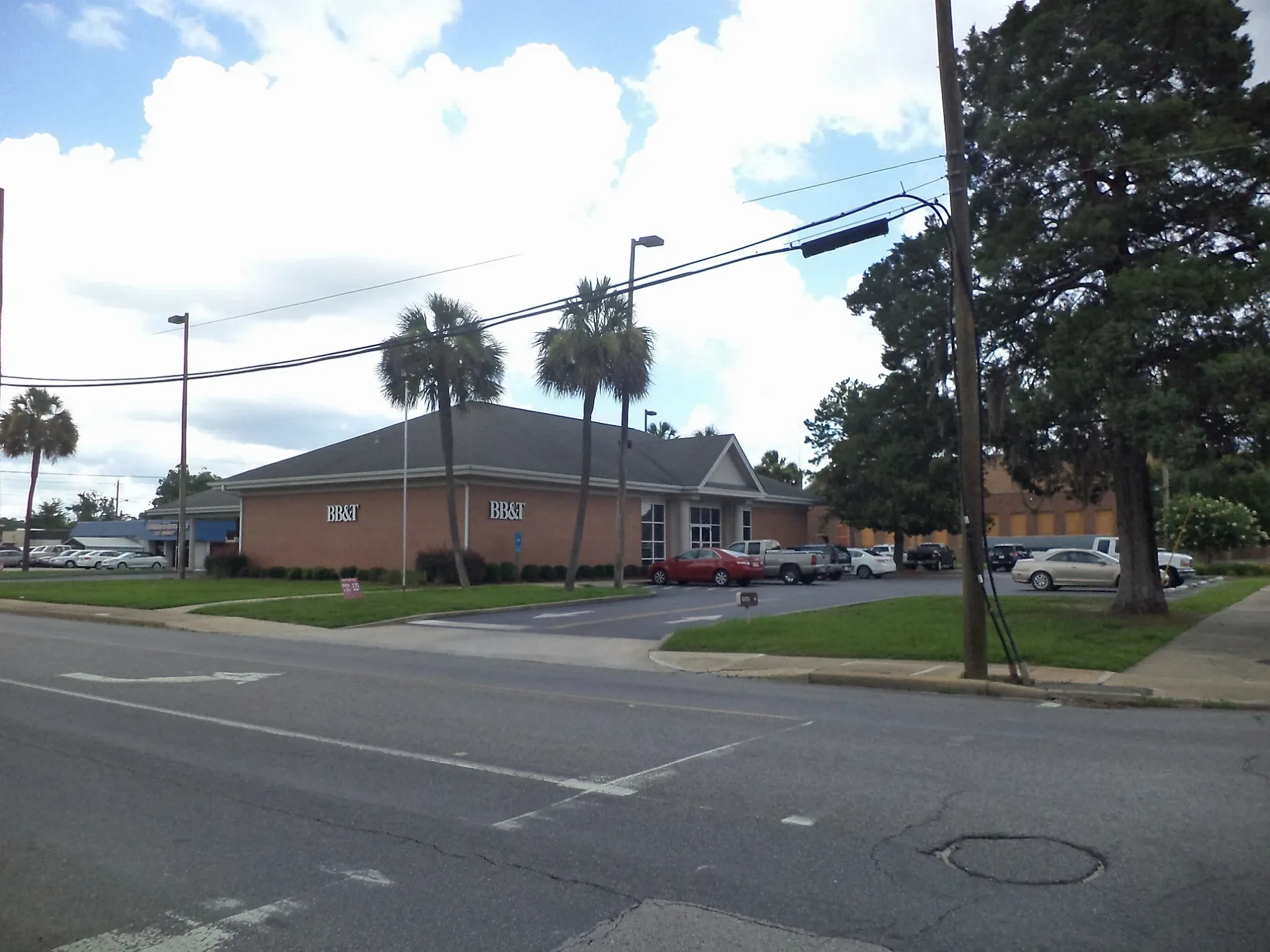
Clifford Street in Waycross, Georgia
Clifford Street in Waycross is a residential street. It runs in a northeast-southwest direction starting from Thomas Street and crosses Center Street and State Street and ends at Knox Street. Clifford Street also exists in Chatham County, Walton County and Floyd County.
- Road Type
- residential street
- Route
- northeast-southwest
Image
Auto parts stores
Town halls
Places of worship
Supermarkets
Prisons
Courthouses
Clothing stores
Schools
Streets nearby
Center Street250 ft
Thomas StreetEl Bethel Church, Shiloh Baptist Church
350 ft
Grove Avenue400 ft
Knox Street450 ft
Pendleton Place0.1 mi
Butler Street0.1 mi
Beaton Lane0.2 mi
Parkway Drive0.2 mi
State Street0.2 mi
Pendleton StreetGrace Episcopal Church
0.2 mi
Gordon Street0.2 mi
Tebeau Place0.2 mi
Church StreetTrinity Methodist Church
0.2 mi
Harrell Street0.3 mi
Tebeau StreetAdvance Auto Parts, Faith Temple Church
0.3 mi
Alice StreetCrossway, Alice Street School, Church of the Nazarene, Piedmont Okefenokee Baptist Church
0.3 mi
Albany AvenueWare County Courthouse, Albany Avenue Baptist Church, True Foundation Church of God, 636830M, 637248Y
0.3 mi
Quarterman Street0.3 mi
Lee AvenueWaycross Seventh-day Adventist Church
0.3 mi
Carswell Avenue637707S
0.3 mi
Brunswick Avenue0.3 mi
Oak Street0.3 mi
Franklin StreetThe Rock (Central Baptist Church Youth Building)
0.3 mi
Plant AvenueKrystal, Brunswick Junction, Waycross, Walmart, Walmart Neighborhood Market
0.3 mi
Effie StreetNew Mount Pleasant Baptist Church
0.3 mi
Folks Street0.3 mi
Folks Place0.3 mi
Fitzgerald Subdivision0.3 mi
Everett Lane0.3 mi
King Street0.4 mi
Memorial DriveFirehouse Subs, Checkers, AT&T, Tuscan Sky Salon, Brunswick JCT
0.4 mi
Burnice Street0.4 mi
Knight Avenue937558W
0.4 mi
Remshart Street0.4 mi
Gilmore Avenue0.4 mi
Jones Street0.4 mi
Isabella StreetSaint Josephs Academy, First Christian Church, Waycross City Hall
0.4 mi
Gilmore Street0.5 mi
Williams Street0.5 mi
McDonald StreetCenter Junior High School
0.5 mi
Lott StreetBerry Trap Boutique
0.5 mi
Screven Avenue0.5 mi
Elizabeth Street637705D, Waycross Post Office
0.6 mi
Cemeteries nearby
Lott Cemetery0.3 mi
Parks nearby
Phoenix Park0.5 mi
Railways nearby
CSX Brunswick Subdivision0.3 mi
CSX Jesup Subdivision0.3 mi
Waycross Storage JS0.5 mi
Razed railways nearby
Original Fitzgerald Subdivision Routing0.2 mi
Public transit map Waycross Legend
| Railway | |
| Bus | |
| Streetcar |
Bicycle map Waycross Legend
| Bike path | |
| Bike lane on roadway | |
| Cycling allowed on bus lane | |
| Bicycle street | |
| Open to cyclists | |
| Open to cyclists, good path | |
| Cycling prohibited | |
| Cobblestone |
| Long-distance bike route | (depending on scale) | |
| Long-distance bike route |
Pedestrian map Waycross Legend
| Path |
| Long-distance hiking trail | (depending on scale) | |
| Long-distance hiking trail | ||
| Pedestrians prohibited |