
South Bell Street in Cleveland, Georgia
South Bell Street in Cleveland is an asphalted residential street. No sidewalks. It runs in a north-south direction starting from North Bell Street and crosses West Kytle Street and Henderson Street and ends at West Underwood Street. South Bell Street also exists in Columbia County and Berrien County.
- Bicycle
- yes
- Road Type
- residential street
- Route
- north-south
Image
Restaurants
Schools
Auto parts stores
Fast food restaurants
Supermarkets
Cell phone stores
Gas stations
Places of worship
Motels
Cafes
Furniture stores
Streets nearby
Henderson Street150 ft
North Bell Street250 ft
West Jarrard StreetCleveland
500 ft
Mc Donald Street0.1 mi
Courthouse SquareClyde's Table & Tavern
0.1 mi
South Brooks Street0.1 mi
East Underwood StreetBojangles'
0.1 mi
East Kytle Street0.1 mi
North Brooks Street0.1 mi
West Jarrod Street0.1 mi
Jackson Street0.1 mi
Colonial Drive0.1 mi
West Underwood StreetSubway
0.2 mi
Quillian Street0.2 mi
Marys Lane0.2 mi
North Main StreetChevron, Exxon
0.2 mi
South Main StreetArby's, Dunkin', BP
0.2 mi
Lillians Way0.3 mi
Maggie Lane0.3 mi
Wilford Ash Parkway0.3 mi
Deerfield Drive0.3 mi
Naccoochee Road0.3 mi
Angel Lane0.3 mi
White Street Connector0.3 mi
Jess Hunt Road0.4 mi
White Road0.4 mi
Old Blairsville Road0.4 mi
White Street0.4 mi
Shops nearby
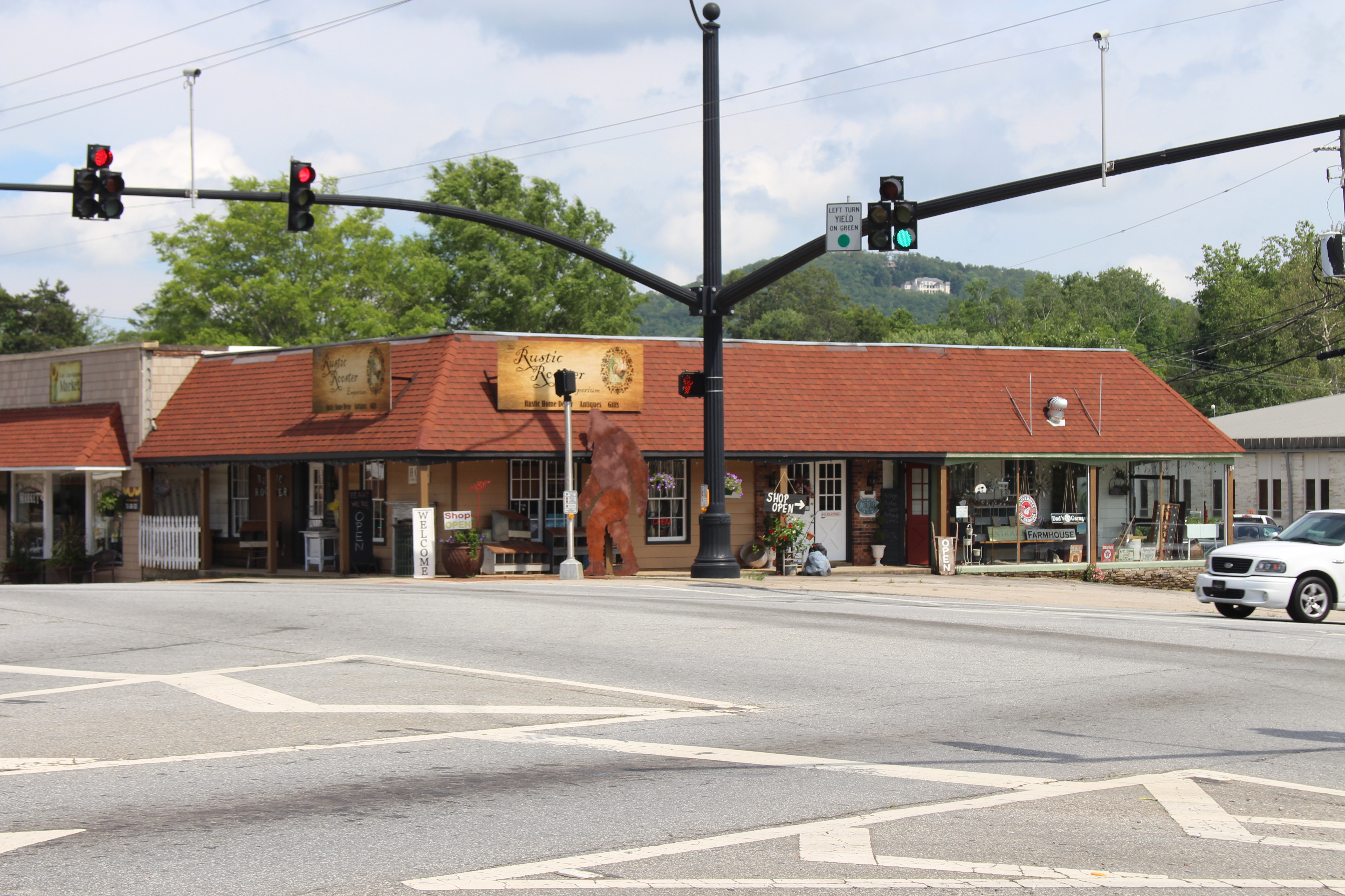
Rustic Rooster450 ft
Banks nearby
Mountain Valley Community Bank0.2 mi
Cafes nearby
Scooter's Coffee0.4 mi
Cemeteries nearby
Mount Yonah Cemetery0.2 mi
Merritt Cemetery0.2 mi
Courthouses nearby
White County Courthouse400 ft
Fast food restaurants nearby
Chick-fil-A500 ft
McDonald's0.2 mi
Zaxby's0.2 mi
Gas stations nearby
Marathon0.3 mi
Hardware stores nearby
Ace Hardware350 ft
Libraries nearby
White County Public Library-Cleveland Branch0.1 mi
Museums nearby
White County History Museum450 ft
Historic White County Courthouse Museum500 ft
Places of worship nearby
First Presbyterian Church0.2 mi
First Baptist Church0.3 mi
Restaurants nearby
Cafe Cancun0.2 mi
Creekside Deli0.3 mi
Huddle House0.4 mi
Town halls nearby
Cleveland City Hall450 ft
Variety stores nearby
Fred's0.2 mi
Public transit map Cleveland Legend
| Railway | |
| Bus | |
| Streetcar |
Bicycle map Cleveland Legend
| Bike path | |
| Bike lane on roadway | |
| Cycling allowed on bus lane | |
| Bicycle street | |
| Open to cyclists | |
| Open to cyclists, good path | |
| Cycling prohibited | |
| Cobblestone |
| Long-distance bike route | (depending on scale) | |
| Long-distance bike route |
Pedestrian map Cleveland Legend
| Path |
| Long-distance hiking trail | (depending on scale) | |
| Long-distance hiking trail | ||
| Pedestrians prohibited |