
Gay Street in Lanai City, HI 96763
Gay Street in Lanai City, HI 96763 (Maui County) is a shared street. It runs in a southeast-northwest direction starting from 8th Street and crosses 9th Street, 10th Street, 11th Street, 12th Street and 13th Street and ends at Kaumalapau Highway.
- Road Type
- shared street
- Route
- southeast-northwest
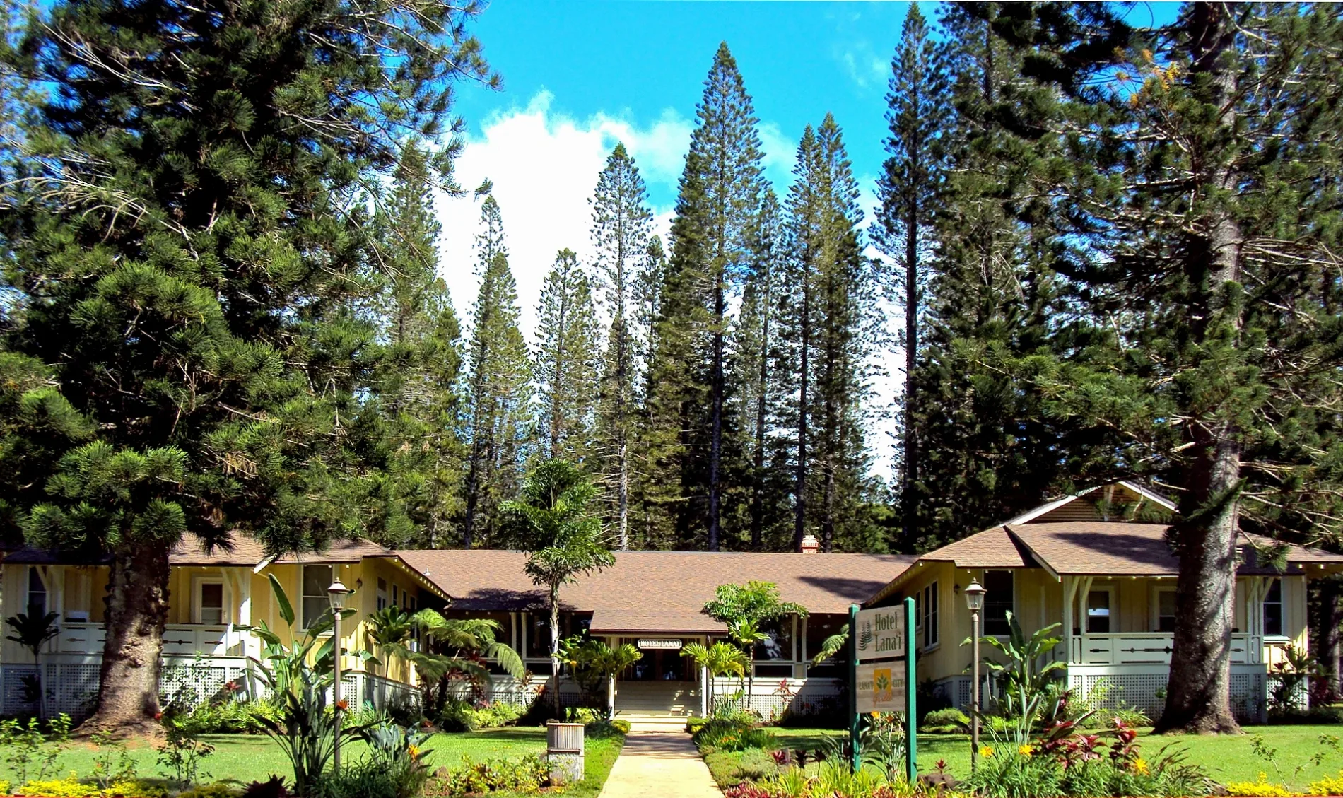
Image
Charging stations
Gas stations
Museums
- Lanai Culture and Heritage Center (opening hours: Mon–Fri 11–15, free of charge, Web) at Lāna‘i Avenue 730. Community that preserves and celebrates the island’s heritage and its ever-evolving culture – approx. 0.3 mi.
Animal shelters
Drugstores
Clothing stores
Convenience stores
Restaurants
Viewpoints
Dive shops
Car rentals
Doctor's offices
Hotels
Cafes
Supermarkets
Streets nearby
Houston Street150 ft
Fraser AvenueTesla Supercharger
500 ft
Ilima Avenue500 ft
Jasmine Drive0.1 mi
Awalua Avenue0.2 mi
13th Street0.2 mi
Nokeaha Street0.2 mi
Lanai AvenueLanai Culture and Heritage Center, Lanai City Service
0.2 mi
Muku Place0.2 mi
Mana Street0.2 mi
10th Street0.2 mi
Naha Street0.2 mi
12th Street0.2 mi
Aha Street0.2 mi
11th StreetLanai Car Rental
0.2 mi
Olapa Street0.2 mi
Kaumalapau HighwayKaumalapau
0.2 mi
Palawai Lane0.2 mi
Akahi Place0.3 mi
Queens Street0.3 mi
North Ohohia Place0.3 mi
North Hoalauna Place0.3 mi
Akolu Street0.3 mi
Ha Place0.3 mi
Huna Wai Street0.3 mi
Ohohia Street0.3 mi
North Hoalauna Street0.4 mi
Pakali Street0.4 mi
Kualua Place0.4 mi
Akolu Place0.4 mi
Lamalama Street0.4 mi
South Hoalauna Street0.4 mi
Pakali Place0.4 mi
Lu Hau Street0.5 mi
South Hoalauna Place0.5 mi
South Ohohia Street0.5 mi
Buildings nearby
Fleet Maintanance Building0.1 mi
Four seasons bakery0.1 mi
Lanai Water Department0.1 mi
four seasons laundry building0.1 mi
Four seasons warehouse0.2 mi
Lanai Hardware/Housing Office0.2 mi
Central Pulama Building0.2 mi
Convenience stores nearby
Lanai City Service0.2 mi
Fire stations nearby
Lanai Fire Station0.2 mi
Gardens nearby
Lanai Community Garden0.2 mi
Places of worship nearby
Kings chapel400 ft
Residential areas nearby
Hale Kupuna0.1 mi
The Courts0.2 mi
 Public transit map Maui County Legend
| Railway | |
| Bus | |
| Streetcar |
 Bicycle map Maui County Legend
| Bike path | |
| Bike lane on roadway | |
| Cycling allowed on bus lane | |
| Bicycle street | |
| Open to cyclists | |
| Open to cyclists, good path | |
| Cycling prohibited | |
| Cobblestone |
| Long-distance bike route | (depending on scale) | |
| Long-distance bike route |
 Pedestrian map Maui County Legend
| Path |
| Long-distance hiking trail | (depending on scale) | |
| Long-distance hiking trail | ||
| Pedestrians prohibited |