
East Aikens Road in Eagle, Idaho
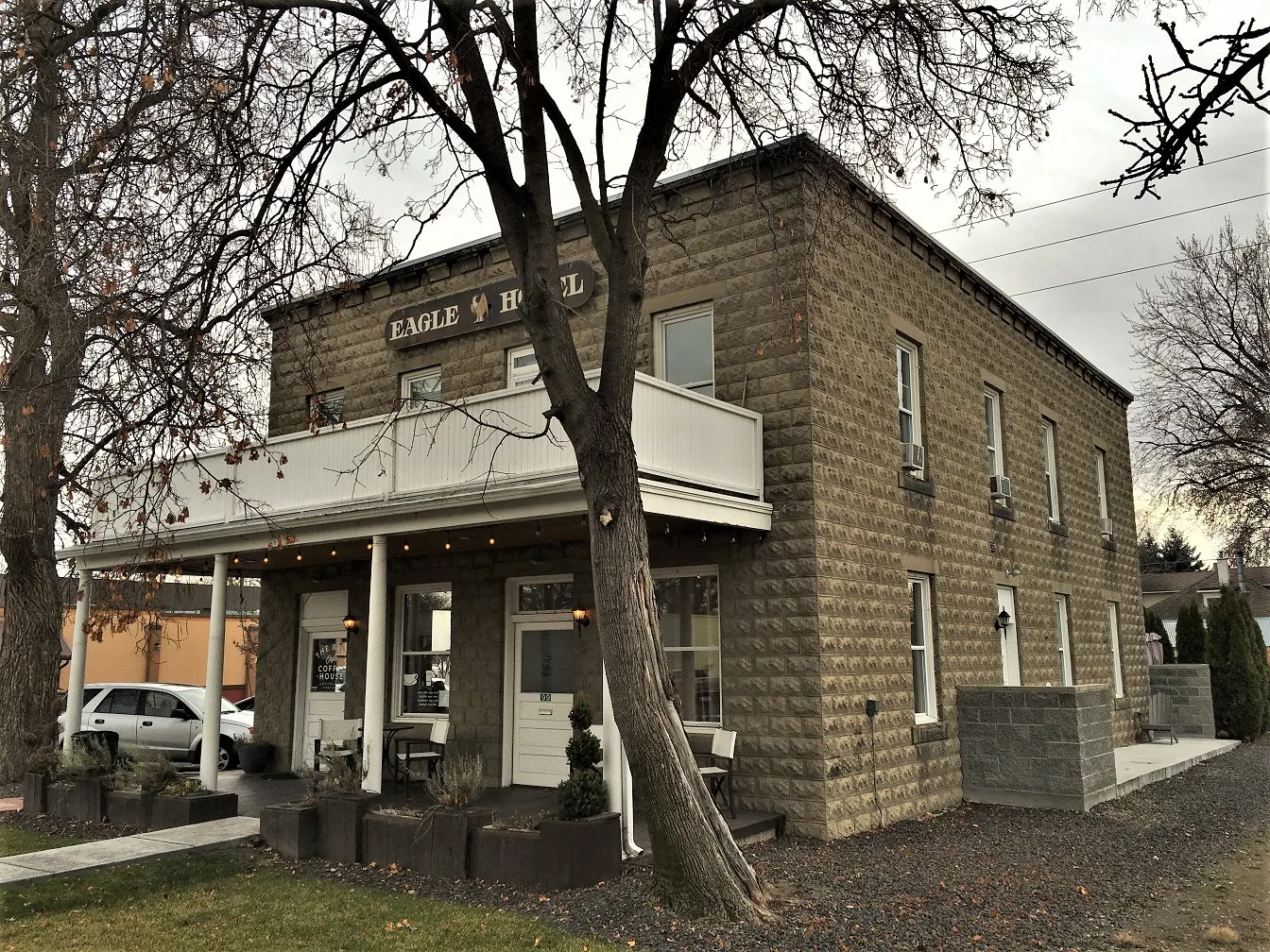
East Aikens Road in Eagle is an asphalted residential street. It runs in an east-west direction starting from West Aikens Road and crosses South Eagle Road and South 1st Street and ends at South 2nd Street.
- Road Type
- residential street
- Route
- east-west
Image
Artworks
Pharmacies
Post offices
Clinics
Restaurants
Massage therapy clinics
Frame shops
Secondhand stores
Money transfer services
Fast food restaurants
Cafes
Hair salons
Vape shops
Streets nearby
South 1st Street350 ft
South 2nd StreetSav-On Pharmacy, Elements Massage
400 ft
East Plaza StreetStarbucks, Rice Contemporary Asian Cuisine, Papa Murphy's, Supercuts, Alchemist Coffee
500 ft
North 1st Street550 ft
East Wexford Lane0.1 mi
East State StreetChina Palace, Papa John's, Finer Frames, Pella Windows and Doors, Taco Del Mar, Lily Lace Garden, PostalAnnex, T-Mobile, Diamond Nails & Spa, Vapor Lounge
0.2 mi
East Connemara Lane0.2 mi
East Presidio Lane0.2 mi
East Lombard Lane0.2 mi
South Young Lane0.2 mi
East Cedar Ridge StreetThe UPS Store, Mongolian of Eagle
0.2 mi
South City Lights Lane0.2 mi
East Highway 44Eagle ATA Martial Arts Center
0.2 mi
East Watercress Lane0.2 mi
East Sawyer Gold Lane0.3 mi
South Filbert Lane0.3 mi
South Finn Street0.3 mi
East Molinari Lane0.3 mi
South Finn Lane0.3 mi
Banks nearby
Wells Fargo350 ft
D.L. Evans Bank0.2 mi
Bike shops nearby
Reed Cycle0.1 mi
Buildings nearby
Farmers Insurance400 ft
Spitfire Tacos + Tequila0.1 mi
Gem State Brewing0.1 mi
Canals nearby
Ballentine Canal0.3 mi
Community centers nearby
City of Eagle Senior Center0.2 mi
Construction sites nearby
Aiken Plaza Condominiums150 ft
Fast food restaurants nearby
McDonald's400 ft
Subway550 ft
Domino's0.2 mi
Parks nearby
Heritage Park400 ft
Places of worship nearby
Creekside Bible Church0.2 mi
Residential areas nearby
Schmelzer Addition250 ft
Poblado Condominiums300 ft
Towne Apartments400 ft
Carpenter's Addition0.1 mi
Paddy Row0.1 mi
Mobile Manor0.2 mi
Eagle Manor0.2 mi
Eagle Meadows0.3 mi
Restaurants nearby
Smoky Mountain Pizzeria Grill200 ft
Davinci's Italian Restaurant550 ft
Tasso0.1 mi
Flying Pie PIzza0.2 mi
Retail areas nearby
Eagle Plaza350 ft
Eagle Pavilion0.1 mi
Secondhand stores nearby
Second Avenue0.1 mi
Supermarkets nearby
Albertsons0.1 mi
 Public transit map Eagle Legend
| Railway | |
| Bus | |
| Streetcar |
 Bicycle map Eagle Legend
| Bike path | |
| Bike lane on roadway | |
| Cycling allowed on bus lane | |
| Bicycle street | |
| Open to cyclists | |
| Open to cyclists, good path | |
| Cycling prohibited | |
| Cobblestone |
| Long-distance bike route | (depending on scale) | |
| Long-distance bike route |
 Pedestrian map Eagle Legend
| Path |
| Long-distance hiking trail | (depending on scale) | |
| Long-distance hiking trail | ||
| Pedestrians prohibited |