
MK Simpson Boulevard in Idaho Falls, Idaho
MK Simpson Boulevard in Idaho Falls is a single-lane, asphalted unclassified road. The street has bike paths (bike lane). It runs in an east-west direction starting from North 5th West and crosses MK Simpson Way.
- Bicycle
- yes
- Road Type
- unclassified road
- Lanes
- 1
- Speed Limit
- 25 mph
- Route
- east-west
Image
Auto repair shops
Parking lots
Places of worship
Rental services
Car washes
Convenience stores
Car rentals
Self storages
Restaurants
Supermarkets
Bakeries
Wholesale stores
Car dealerships
Gas stations
Mail depots
Laundries
Stations
Streets nearby
MK Simpson Way500 ft
West 33rd North0.3 mi
North 5th WestNorth Idaho Falls
0.3 mi
University Place0.4 mi
Fremont Avenue0.4 mi
Snake River Path0.4 mi
Energy Place0.4 mi
Micro StreetStart A.B.S.
0.4 mi
Energy Drive0.5 mi
Shelter Drive0.5 mi
DOE Place0.5 mi
Lindsay BoulevardMac N' Kelly's Pub & Grill, TRPTA Chili's on Lindsey, Copper Rill Restaurant, The Defining Line Salon, Rush's Kitchen Supply, The Bee's Knees Pub & Catering Co., Sinclair
0.5 mi
Science Center DriveBelow Book Auto Sales
0.5 mi
Pumice Drive0.5 mi
Elmore Avenue0.5 mi
Baseball Street0.6 mi
Cultural Circle0.6 mi
Prospect Drive0.6 mi
Brighton Drive0.6 mi
Independence Drive0.6 mi
Brighton Circle0.6 mi
Stein Creek Court0.6 mi
Stein Creek Circle0.6 mi
Tradition Court0.6 mi
Jefferson Avenue0.6 mi
Latah Avenue0.7 mi
Canyon Avenue0.7 mi
Presto Street0.7 mi
Rigby Highway0.7 mi
Amenities nearby
Sam Bennion Student Union Buiding0.3 mi
Tingey Admin Building0.4 mi
Center for Higher Education0.4 mi
Buildings nearby
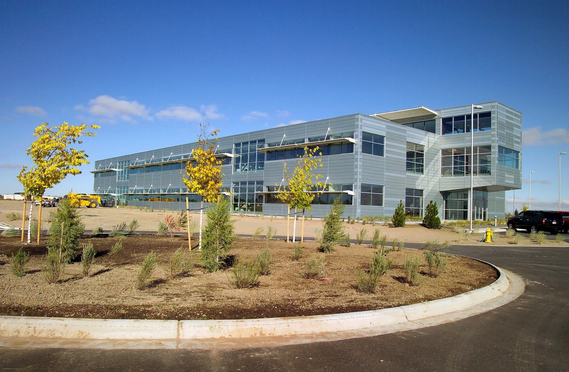
Energy Innovation Laboratory Buildings B & C450 ft
Energy Systems Laboratory500 ft
Energy Innovation Laboratory Building A550 ft
Collobarative Computing Center (C3)0.2 mi
Cybercore Integration Center0.2 mi
Engineering Research Office Building0.3 mi
Willow Creek Building0.3 mi
INL Administration Building0.6 mi
Gas stations nearby
Conoco0.5 mi
Industrial areas nearby
Idaho National Laboratory0.2 mi
Parks nearby
Russ Freeman Park0.4 mi
Places of worship nearby
The Church of Jesus Christ of Latter-day Saints0.5 mi
Kingdom Hall of Jehovah's Witnesses0.6 mi
Railways nearby
UP Montana Subdivision0.3 mi
Restaurants nearby
Grandpa's Southern BBQ0.6 mi
Rivers nearby
Snake River0.4 mi
Streams nearby
North Fork Willow Creek0.4 mi
Public transit map Idaho Falls Legend
| Railway | |
| Bus | |
| Streetcar |
Bicycle map Idaho Falls Legend
| Bike path | |
| Bike lane on roadway | |
| Cycling allowed on bus lane | |
| Bicycle street | |
| Open to cyclists | |
| Open to cyclists, good path | |
| Cycling prohibited | |
| Cobblestone |
| Long-distance bike route | (depending on scale) | |
| Long-distance bike route |
Pedestrian map Idaho Falls Legend
| Path |
| Long-distance hiking trail | (depending on scale) | |
| Long-distance hiking trail | ||
| Pedestrians prohibited |