
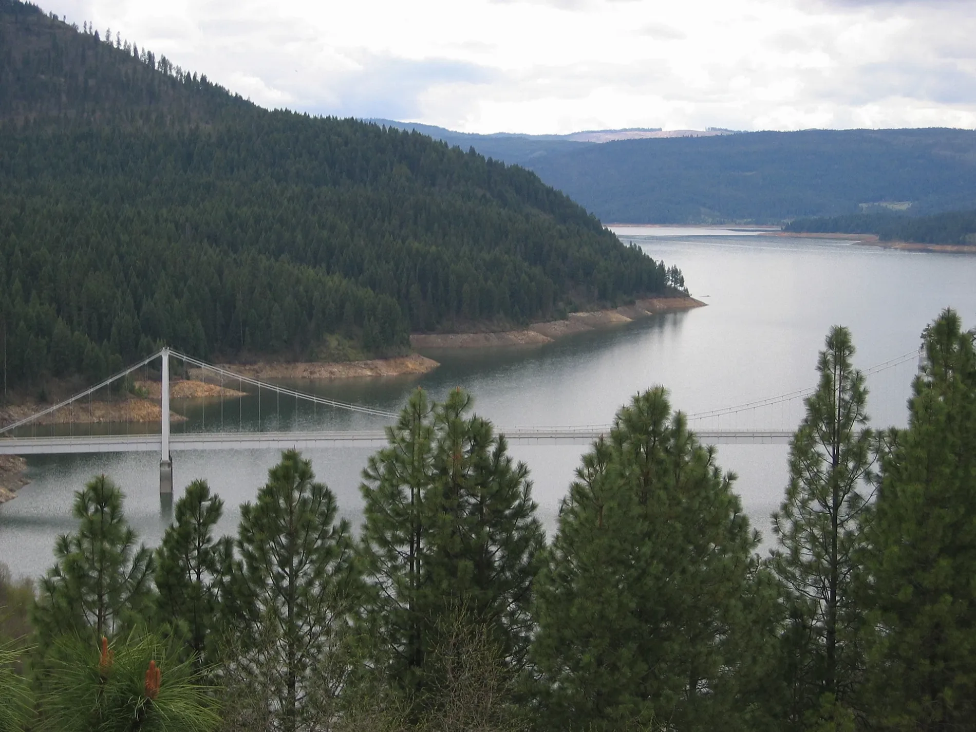
Dent Bridge in Clearwater County, Idaho
Dent Bridge in Clearwater County is a asphalt local road. Ⓦ.
- Road Type
- local road
Image
Streets nearby
Dent Bridge RoadBest Corner, Swimdock Site 43, Lakeside Site A, Lakeside Site B, Lakeside Site C, Lakeside Site D, Lakeside Site E, Lakeside Site F, Lakeside Site G
350 ft
Old Dent Road1.2 mi
C B 2 Road1.4 mi
Loseth Road1.4 mi
Cold Springs TrailCold Springs Group Camp
1.4 mi
Dent Trail1.9 mi
Dent Campground Trail2.5 mi
Best Corner Road3.0 mi
Camp YFive Corners
3.2 mi
Canyon Creek Trail3.7 mi
Johnson Mill Road3.8 mi
Canyon Creek Road4.0 mi
Buckeye Drive4.2 mi
Huckleberry Butte RoadHansberg
4.3 mi
Grangemont RoadCully Moores
4.4 mi
Tie Creek Drive4.7 mi
Timberwolf Drive4.9 mi
Kokanee Loop5.0 mi
Osprey Loop5.0 mi
Wells Bench Road5.1 mi
Aspen Loop5.1 mi
Blackberry Loop5.2 mi
Crooked Whiskey Creek Road5.2 mi
Camas Loop5.2 mi
Woodland Medow5.3 mi
High Valley Road5.3 mi
Woodland Medow Lane5.5 mi
Ranchett Road5.7 mi
Twin Ridge Road5.7 mi
Clear View Drive6.0 mi
Waterways nearby
Canyon Creek3.7 mi
Elk Creek5.1 mi
Freeman Creek5.2 mi
Campgrounds nearby
Dent Acres Group Camp1.3 mi
Dent Acres Campground2.6 mi
Canyon Creek Campground4.2 mi
Trout Tent Camping Area4.8 mi
Aspen Group Camp5.1 mi
Blackberry Group Camp5.2 mi
Freeman Creek Campground5.2 mi
Cemeteries nearby
Wells Cemetery5.8 mi
Streams nearby
Bench Creek0.7 mi
O'Neil Creek3.6 mi
Whiskey Creek4.2 mi
Tie Creek4.5 mi
McKinnon Creek4.8 mi
Duffy Creek5.0 mi
Cranberry Creek5.2 mi
Indian Creek5.7 mi
| Located in | Idaho |
|---|---|
| Country | United States |
| Crosses | Dworshak Dam |
 Public transit map Clearwater County Legend
 | Railway | |
| Bus | |
| Streetcar |
 Bicycle map Clearwater County Legend
 | Bike path | |
| Bike lane on roadway | |
| Cycling allowed on bus lane | |
| Bicycle street | |
| Open to cyclists | |
| Open to cyclists, good path | |
| Cycling prohibited | |
| Cobblestone |
| Long-distance bike route | (depending on scale) | |
| Long-distance bike route |
 Pedestrian map Clearwater County Legend
 | Path |
| Long-distance hiking trail | (depending on scale) | |
| Long-distance hiking trail | ||
| Pedestrians prohibited |