
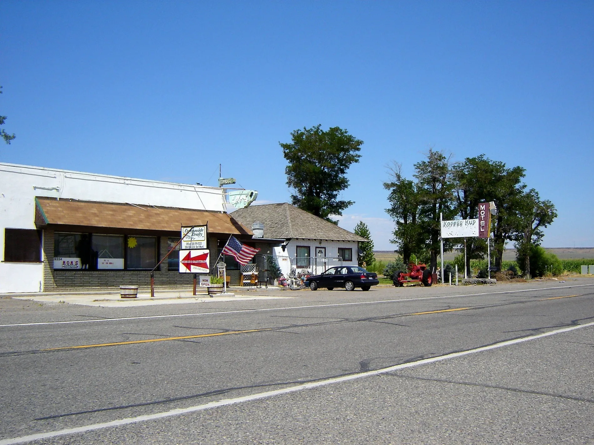
West Church Road in Elmore County, Idaho
West Church Road in Elmore County is a residential street. It runs in an east-west direction starting from West Ladd Circle and crosses South School House Road, Main Street and Chestnut Way and ends at South Humpherys Road.
- Road Type
- residential street
- Speed Limit
- 35 mph
- Route
- east-west
Image
Streets nearby
Main StreetHammett
500 ft
South School House Road0.1 mi
Chestnut Way0.1 mi
West Ladd Circle0.2 mi
South Jade Way0.2 mi
West Lanco Lane0.2 mi
Raspberry Drive0.2 mi
Cricket Drive0.3 mi
East Central0.3 mi
West Cambridge Court0.3 mi
South Johny Lane0.3 mi
West Spangler Road0.4 mi
South Humpherys Road0.4 mi
South Agate Drive0.4 mi
South Country Lane0.6 mi
South Lucille Road0.7 mi
South Withers Road1.0 mi
Old Highway 301.0 mi
West Osprey Street1.0 mi
Hammett Hill Road1.1 mi
South Joe King Road1.1 mi
West Mesa View Drive1.1 mi
West Bernt Road1.2 mi
South Thacker Road1.2 mi
South Quail Drive1.2 mi
Bob Drive1.3 mi
Dillworth Road1.6 mi
Indian Hills Road2.0 mi
Bennett Road2.2 mi
Geese & Quacker Lane2.2 mi
Pheasant & Quail Lane2.3 mi
Cold Springs Road2.6 mi
Wilson Grade2.7 mi
Vietnam Veterans Memorial Highway3.9 mi
State Highway 784.2 mi
West Sailor Creek Road4.6 mi
Sailor Creek Road4.7 mi
West Arrowhead Drive4.9 mi
North Moon Trail Way5.0 mi
Pothole Road5.1 mi
Browns Creek Road5.1 mi
North Elk Ranch Drive5.2 mi
Slick Ranch Road5.3 mi
Experimental Station Road5.7 mi
Southeast Ross Road5.7 mi
Railways nearby
UP Nampa Subdivision4.3 mi
Rivers nearby
Snake River4.1 mi
Other nearby
Schoffs Island1.4 mi
Sparlin Island2.0 mi
 Public transit map Elmore County Legend
| Railway | |
| Bus | |
| Streetcar |
 Bicycle map Elmore County Legend
| Bike path | |
| Bike lane on roadway | |
| Cycling allowed on bus lane | |
| Bicycle street | |
| Open to cyclists | |
| Open to cyclists, good path | |
| Cycling prohibited | |
| Cobblestone |
| Long-distance bike route | (depending on scale) | |
| Long-distance bike route |
 Pedestrian map Elmore County Legend
| Path |
| Long-distance hiking trail | (depending on scale) | |
| Long-distance hiking trail | ||
| Pedestrians prohibited |