
Image
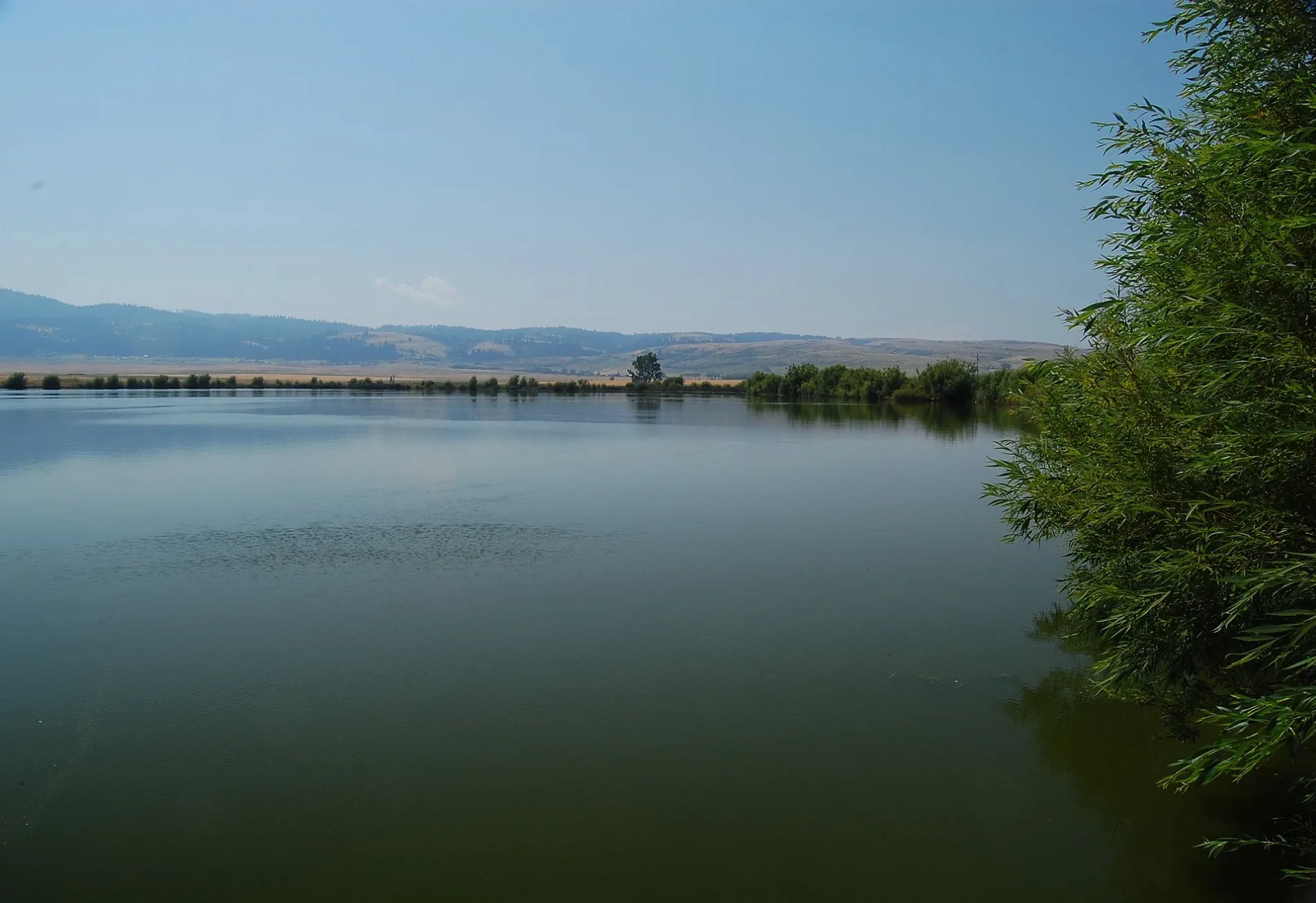
Streets nearby
Johns Creek Road0.8 mi
Gill Point Road0.9 mi
Denver Cemetery Road1.3 mi
Castle Road1.6 mi
Tolo Lake Road1.7 mi
Schoolhouse Lane1.7 mi
Wildflower Lane1.9 mi
Paradise Road2.1 mi
Cattle Drive2.4 mi
Whitetail Drive2.4 mi
Wildflower Place2.5 mi
Trueblood Lane2.6 mi
Short Road2.9 mi
Meyer Road3.0 mi
Prairie Road3.1 mi
Old Highway 95Slate Creek
3.1 mi
Canyon Road3.2 mi
Johnston Road3.2 mi
Sherwin Street3.4 mi
Hidden Springs Circle3.4 mi
Shearer Street3.5 mi
Cody Place3.5 mi
Vollmer StreetFenn
3.5 mi
Elliot Street3.5 mi
Market Road3.6 mi
Cheyenne Drive3.7 mi
Mager Lane3.8 mi
Fenn Road3.8 mi
Old Highway 7 Road4.0 mi
Crimson Ridge Road4.1 mi
Cash Lane4.1 mi
Old White Bird Hill Road4.3 mi
Denver Ce Road4.4 mi
Lake RoadDenver
4.6 mi
Two Mile Road4.6 mi
Service Flats Road 11124.8 mi
Golf courses nearby
Grangeville Golf and Country Club4.0 mi
Places of worship nearby
Grangeville Adventist Church4.2 mi
Streams nearby
Telcher Creek0.6 mi
Johns Creek3.7 mi
Sheep Creek4.4 mi
Lightning Creek5.0 mi
Valleys nearby
Meyer Gulch2.3 mi
Hernden Draw3.6 mi
Wilkins Gulch3.6 mi
Harrison Johnson Draw4.0 mi
VonBerge Gulch4.5 mi
Long Gulch4.5 mi
Green Canyon4.8 mi
| Elevation | 3235 |
|---|---|
| Heritage designation | National Register of Historic Places listed place |
| Located in | Idaho County |
| Country | United States |
 Public transit map Idaho County Legend
| Railway | |
| Bus | |
| Streetcar |
 Bicycle map Idaho County Legend
| Bike path | |
| Bike lane on roadway | |
| Cycling allowed on bus lane | |
| Bicycle street | |
| Open to cyclists | |
| Open to cyclists, good path | |
| Cycling prohibited | |
| Cobblestone |
| Long-distance bike route | (depending on scale) | |
| Long-distance bike route |
 Pedestrian map Idaho County Legend
| Path |
| Long-distance hiking trail | (depending on scale) | |
| Long-distance hiking trail | ||
| Pedestrians prohibited |