
North Washington Street in Rathdrum, Idaho
North Washington Street in Rathdrum is a residential street. It runs in a north-south direction starting from West Main Street and crosses West Missouri Avenue, North Highway 41, West Clark Street and West Lewis Street and ends at West Division Street.
- Road Type
- residential street
- Route
- north-south
Image
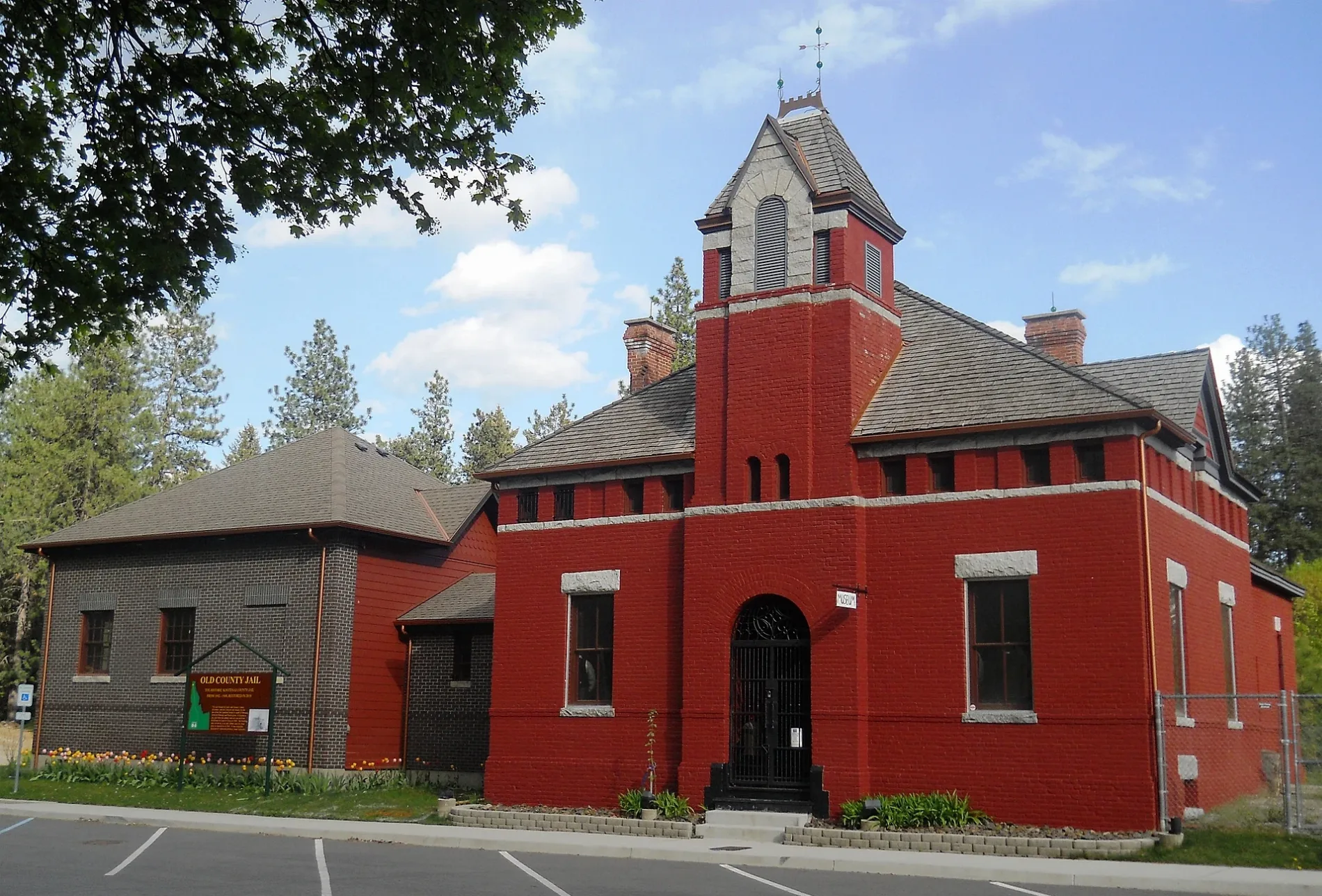
Places of worship
Tattoo studios
Pet grooming salons
Drugstores
Restaurants
Beauty salons
Convenience stores
Department stores
Auto parts stores
Hair salons
Fast food restaurants
Secondhand stores
Computer stores
Liquor stores
Tourist information centers
Streets nearby
West Clark Street400 ft
West Missouri Avenue500 ft
North Pineview Street550 ft
North Vernon Street0.1 mi
West Lewis Street0.2 mi
North Stevens Street0.2 mi
West Division Street0.2 mi
West Lakeland Street0.2 mi
West Bard Street0.2 mi
North Alabama Street0.2 mi
West Wright Street0.3 mi
West Highway 53Tracey's Corner, Penny's Pit Gourmet Burgers, Cash 4 Titles, Pizza Hut, Welcome To Rathdrum, Cuttin Loose, F1 for HELP, Giorgi’s Breakfast & Lunch
0.3 mi
North McKinley Street0.3 mi
West Bingham StreetDashco
0.3 mi
North Highway 41Domino's, Abundant Christian Life, Rathdrum Thift Store, Glamour Girlz
0.3 mi
North Ohio Street0.3 mi
West 2nd Street0.3 mi
North Roosevelt Street0.3 mi
West Idaho Street0.3 mi
West Main StreetRathdrum, The Tattoo Temple, Piper9 Salon, Victory Church
0.3 mi
North Gray Street0.3 mi
North Kootenai Street0.3 mi
North McCartney Street0.4 mi
Auto repair shops nearby
Rathdrum Moto Sports0.2 mi
Lake City Auto Care Rathdrum0.4 mi
Banks nearby
STCU Rathdrum0.2 mi
Buildings nearby
Guardian Insurance Northwest500 ft
Eco Cellulose Insulation0.2 mi
Rathdrum Parks & Recreation0.3 mi
Cafes nearby
Perk Coffee0.1 mi
Car dealerships nearby
Second Chance Auto0.3 mi
Community centers nearby
Rathdrum Masonic Temple0.4 mi
Convenience stores nearby
Korner Jifi Shop0.1 mi
The Beverage Stop0.2 mi
Dentist's offices nearby
McNamara Family Dentistry0.3 mi
Fast food restaurants nearby
Taco Bell300 ft
Fire stations nearby
Station 80.3 mi
Station 20.3 mi
Furniture stores nearby
The Furniture Doctors0.2 mi
Gas stations nearby
Exxon0.1 mi
Conoco0.3 mi
Hair salons nearby
RC Studio0.3 mi
Motels nearby
Grizzly Lodge0.3 mi
Museums nearby
Westwood Historical Society0.3 mi
Parks nearby
John Brown Playfield0.1 mi
Places of worship nearby
Rathdrum Bible Church0.2 mi
Restaurants nearby
Wah Hing Restaurant150 ft
Sports fields nearby
Cooper Field0.2 mi
Rathdrum Skate Park0.3 mi
Public transit map Rathdrum Legend
| Railway | |
| Bus | |
| Streetcar |
Bicycle map Rathdrum Legend
| Bike path | |
| Bike lane on roadway | |
| Cycling allowed on bus lane | |
| Bicycle street | |
| Open to cyclists | |
| Open to cyclists, good path | |
| Cycling prohibited | |
| Cobblestone |
| Long-distance bike route | (depending on scale) | |
| Long-distance bike route |
Pedestrian map Rathdrum Legend
| Path |
| Long-distance hiking trail | (depending on scale) | |
| Long-distance hiking trail | ||
| Pedestrians prohibited |