
North Mill Street in Rathdrum, Idaho
North Mill Street in Rathdrum is a residential street. It runs in a southeast-northwest direction starting from West Canal Street and crosses West Post Street, West Highway 53, West Main Street and West 2nd Street. It ends in a cul-de-sac. Nearby there is a hair salon.
- Road Type
- local road
- Route
- southeast-northwest
Image
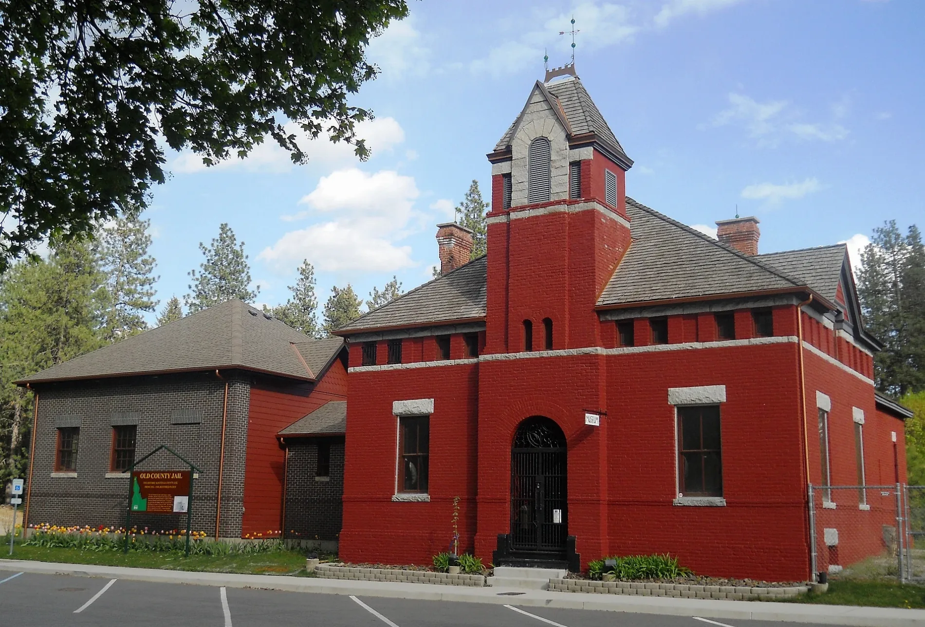
Hair salons
Streets nearby
West 3rd Street0.1 mi
North Anthony Street0.1 mi
North Alturas Street0.1 mi
North Coeur d'Alene Street0.1 mi
West Bordon Court0.1 mi
West Post Street0.1 mi
West Park Loop0.1 mi
West 2nd Street0.1 mi
West Main StreetRathdrum, The Tattoo Temple, Piper9 Salon, Victory Church
0.1 mi
West Lemhi Street0.2 mi
West Canal Street0.2 mi
North Spring Street0.2 mi
North Oneida Street0.2 mi
North Gray Street0.2 mi
North Boise Street0.2 mi
West Logan Street0.2 mi
North Kootenai Street0.3 mi
West Idaho Street0.4 mi
Amenities nearby
Country Side Childcare350 ft
Abandoned railways nearby
Old Milwaukee Road ROW0.3 mi
Auto repair shops nearby
Lake City Auto Care Rathdrum0.1 mi
Bars nearby
Main Street Tavern350 ft
Buildings nearby
State Farm100 ft
Rathdrum & Post Falls Estate Planning300 ft
D&S Carpentry350 ft
Rathdrum Parks & Recreation0.2 mi
Adept Business Solutions0.2 mi
Community centers nearby
Rathdrum Masonic Temple0.1 mi
Electronics stores nearby
J & R Electronics350 ft
Funeral homes nearby
Bell Tower Westwood Chapel300 ft
Gardens nearby
Goodness Grows Children's Garden0.1 mi
Hair salons nearby
RC Studio0.1 mi
Kitchen studios nearby
Swollen Thumb Fine Wood Working0.1 mi
Museums nearby
Westwood Historical Society0.1 mi
Pet stores nearby
Rathdrum Country Store0.1 mi
Places of worship nearby
Living Water Fellowship500 ft
Saint Stanislaus Catholic Church550 ft
Calvary Rathdrum0.2 mi
Police stations nearby
Rathdrum Police Department250 ft
Pubs nearby
Westwood Brewing Company150 ft
Railways nearby
BNSF Spokane Subdivision200 ft
Restaurants nearby
Nadines Mexican Kitchen300 ft
C J's Family Tradition400 ft
Giorgi's550 ft
Social facilities nearby
Rathdrum Food Bank250 ft
Sports fields nearby
Rathdrum Skate Park0.2 mi
Streams nearby
Rathdrum Creek450 ft
Spring Branch Creek0.2 mi
Town halls nearby
Rathdrum City Hall250 ft
Public transit map Rathdrum Legend
| Railway | |
| Bus | |
| Streetcar |
Bicycle map Rathdrum Legend
| Bike path | |
| Bike lane on roadway | |
| Cycling allowed on bus lane | |
| Bicycle street | |
| Open to cyclists | |
| Open to cyclists, good path | |
| Cycling prohibited | |
| Cobblestone |
| Long-distance bike route | (depending on scale) | |
| Long-distance bike route |
Pedestrian map Rathdrum Legend
| Path |
| Long-distance hiking trail | (depending on scale) | |
| Long-distance hiking trail | ||
| Pedestrians prohibited |