
North Lilly Street in Moscow, Idaho
North Lilly Street in Moscow is an asphalted, lit residential street. It runs in a north-south direction starting from West C Street and crosses West A Street and West 1st Street and ends at South Lilly Street.
- Road Type
- residential street
- Route
- north-south
Image
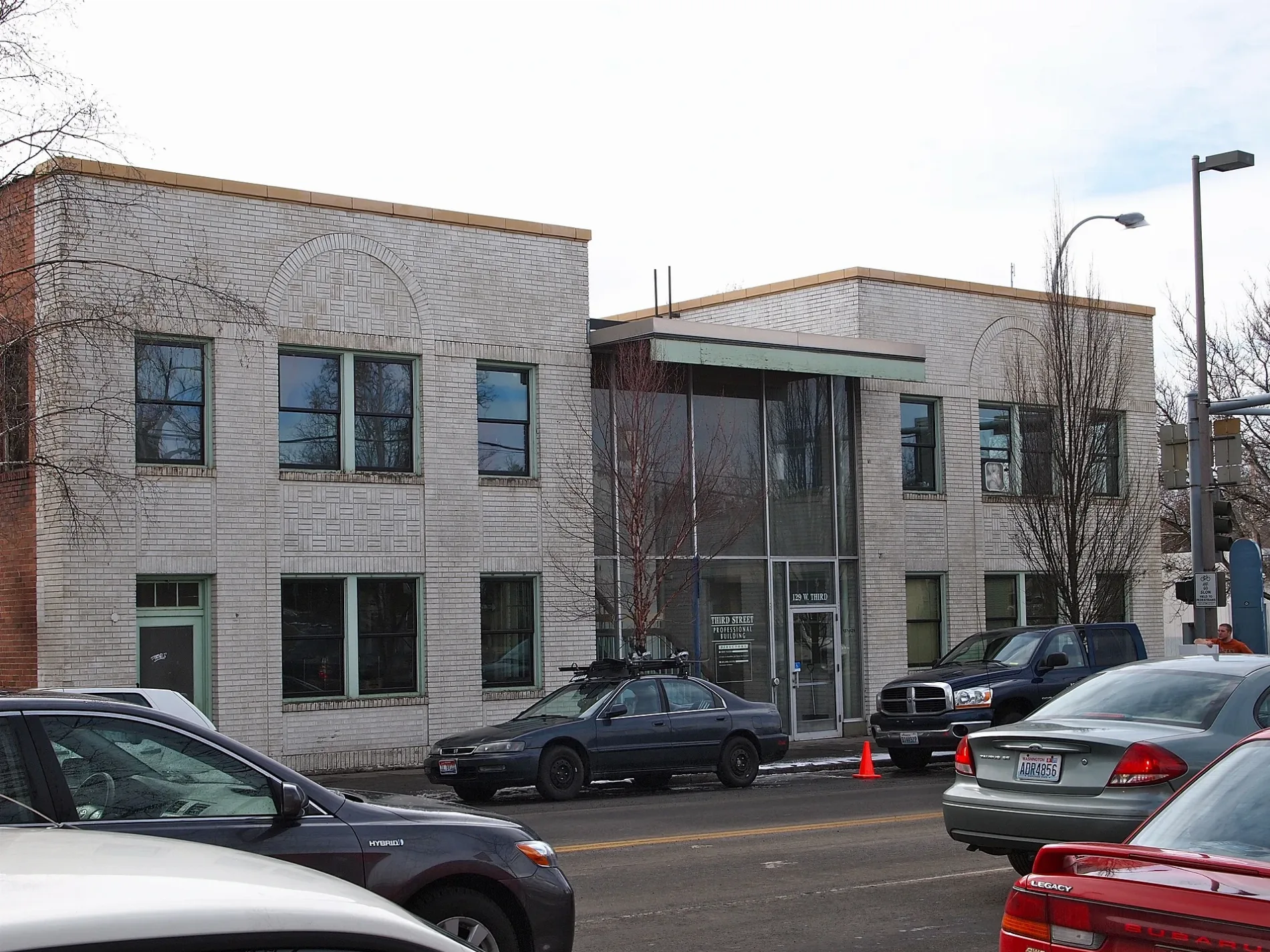
Paint stores
Fast food restaurants
Massage therapy clinics
Jewelry stores
Clothing stores
Restaurants
Furniture stores
Supermarkets
ATMs
Art galleries
Cafes
Bars
Trophy shops
Hotels
Outdoor stores
Bookstores
Streets nearby
North Lieuallen Street350 ft
North Asbury Street450 ft
Superior Floors Parking0.1 mi
West A StreetMoscow Family Medicine Westside, QuickCARE, Precision Engraving, Benjamin Moore
0.1 mi
North Almon Street0.1 mi
Cherry Street0.1 mi
South Lieuallen StreetSherwin-Williams
0.1 mi
Pullman RoadFurniture Center, Starbucks
0.2 mi
West C Street0.2 mi
South Lilly StreetPizza Perfection
0.2 mi
West 3rd Street0.2 mi
South Asbury Street0.2 mi
Residence Street0.2 mi
North Home Street0.2 mi
South Almon Street0.2 mi
MOD Pizza Parking0.2 mi
P1FCU Driveway0.2 mi
P1FCU ATM Drive-Through0.2 mi
P1FCU Drive-Through0.2 mi
North Line Street0.3 mi
South Home Street0.3 mi
Paradise Path0.3 mi
South Line StreetUniversity Of Idaho -IRIC Charging Station
0.3 mi
Deakin AvenueStarbucks
0.4 mi
Ash Street0.4 mi
West 6th StreetOne World Cafe, Nectar, Tye Dye Everything, Paradise Lodge #17 Free and Accepted Masons, Wells Fargo, Pour Company, Stax, Jimmy John's, Domino's
0.4 mi
Shops nearby
Superior Floors0.1 mi
Apartment buildings nearby
The Empire0.2 mi
Banks nearby
Idaho Central Credit Union0.2 mi
P1FCU Moscow0.2 mi
Buildings nearby
Latah County Annex0.2 mi
Alpha Phi0.3 mi
Delta Delta Delta0.4 mi
Theta Chi0.4 mi
Elmwood Apartments0.4 mi
Kappa Alpha Theta0.4 mi
Fast food restaurants nearby
Papa Murphy's0.2 mi
MOD Pizza0.2 mi
Subway0.2 mi
Taco Time0.3 mi
Liquor stores nearby
Idaho State Liquor Store 3030.3 mi
Parks nearby
Lilian Woodworth Otness Park400 ft
Almon Asbury Lieuallen Park0.2 mi
Ghormley Park0.3 mi
Places of worship nearby
Saint Augustine Catholic Church0.4 mi
Restaurants nearby
Patty's Kitchen0.3 mi
School buildings nearby
West Park Elementary School0.3 mi
Streams nearby
Paradise Creek0.3 mi
University buildings nearby
Vehicle Research Lab0.4 mi
Public transit map Moscow Legend
| Railway | |
| Bus | |
| Streetcar |
Bicycle map Moscow Legend
| Bike path | |
| Bike lane on roadway | |
| Cycling allowed on bus lane | |
| Bicycle street | |
| Open to cyclists | |
| Open to cyclists, good path | |
| Cycling prohibited | |
| Cobblestone |
| Long-distance bike route | (depending on scale) | |
| Long-distance bike route |
Pedestrian map Moscow Legend
| Path |
| Long-distance hiking trail | (depending on scale) | |
| Long-distance hiking trail | ||
| Pedestrians prohibited |