
Sycamore Street in Quincy, Illinois
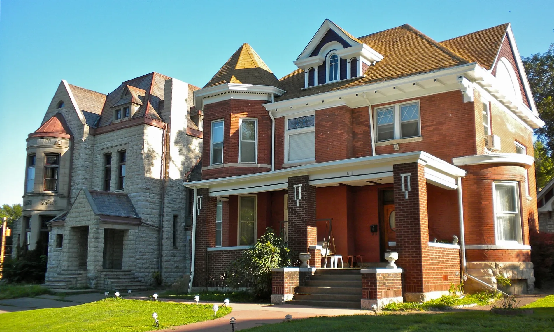
Sycamore Street in Quincy is a residential street. It runs in an east-west direction starting from Moore Street and crosses North 2nd Street, North 3rd Street, North 4th Street, North 5th Street, North 6th Street, North 7th Street, North 8th Street and North 9th Street and ends at North 10th Street. Sycamore Street also exists in Ursa.
- Road Type
- residential street
- Route
- east-west
Image
Cafes
Museums
Gift shops
Clothing stores
Places of worship
Bars
Schools
Restaurants
Fast food restaurants
Streets nearby
North 4th StreetRevelry, Quincy
0.2 mi
Cedar StreetSand Bar, Sandbar
0.2 mi
North 6th StreetSilhouette Shoppe, Yellow Kiss Boutique
0.3 mi
Moore Street0.3 mi
Spruce StreetUncle Bobs
0.3 mi
Riverview Avenue0.3 mi
North 3rd Street0.3 mi
Cherry Street0.3 mi
Scenic Drive0.4 mi
North 2nd Street0.4 mi
North 5th StreetLincoln-Douglas Debate Museum, Schuecking
0.4 mi
Catherine Drive0.4 mi
Maple Street0.4 mi
Saint Vincent's Drive0.4 mi
Chestnut StreetSaint Rose of Lima Roman Catholic Church
0.4 mi
North 10th StreetUnion Baptist Church
0.4 mi
Bredeweg Road0.4 mi
Parkview Drive0.5 mi
North 8th StreetFirst Baptist Church
0.5 mi
Elm Street0.5 mi
North 12th StreetFireHouse Tavern
0.5 mi
North 11th Street0.6 mi
North 13th Street0.6 mi
Lind StreetGrace United Methodist Church, Shalom Fellowship Church, Immanuel Baptist Church
0.6 mi
Horne Street0.6 mi
Werner Street0.6 mi
Buildings nearby
Somerville Barracks0.4 mi
Anderson Barracks0.5 mi
Dudley Mansion0.5 mi
All Faiths Chapel0.5 mi
Illinois Soldiers and Sailors Home0.5 mi
bus depot0.5 mi
Markwood Infirmary0.5 mi
Stone Building0.6 mi
South Hall0.6 mi
Nelson Dining Facility & Fletcher Infirmary0.6 mi
Library0.6 mi
Andrew Infirmary0.6 mi
Kent Infirmary0.6 mi
Elmore Infirmary0.6 mi
Convenience stores nearby
One Stop0.4 mi
Gardens nearby
Sunken Garden0.5 mi
Illinois Veterans Home Memorial Garden0.5 mi
Parks nearby
Sunset Park0.3 mi
Lynn Deer Park0.5 mi
Leon Bailey Memorial Park0.5 mi
Places of worship nearby
Saint John's Roman Catholic Church0.4 mi
Schools nearby
Washington Elementary School0.2 mi
Saint John School0.4 mi
Public transit map Quincy Legend
| Railway | |
| Bus | |
| Streetcar |
Bicycle map Quincy Legend
| Bike path | |
| Bike lane on roadway | |
| Cycling allowed on bus lane | |
| Bicycle street | |
| Open to cyclists | |
| Open to cyclists, good path | |
| Cycling prohibited | |
| Cobblestone |
| Long-distance bike route | (depending on scale) | |
| Long-distance bike route |
Pedestrian map Quincy Legend
| Path |
| Long-distance hiking trail | (depending on scale) | |
| Long-distance hiking trail | ||
| Pedestrians prohibited |