
Western Avenue in Homewood, Illinois
Western Avenue in Homewood is a residential street. It runs in a north-south direction starting from 175th Street and crosses Spruce Road and Hawthorne Road. It ends in a cul-de-sac. Western Avenue is also known as 2400 W. Western Avenue also exists in Chicago Heights and Flossmoor. Ⓦ.
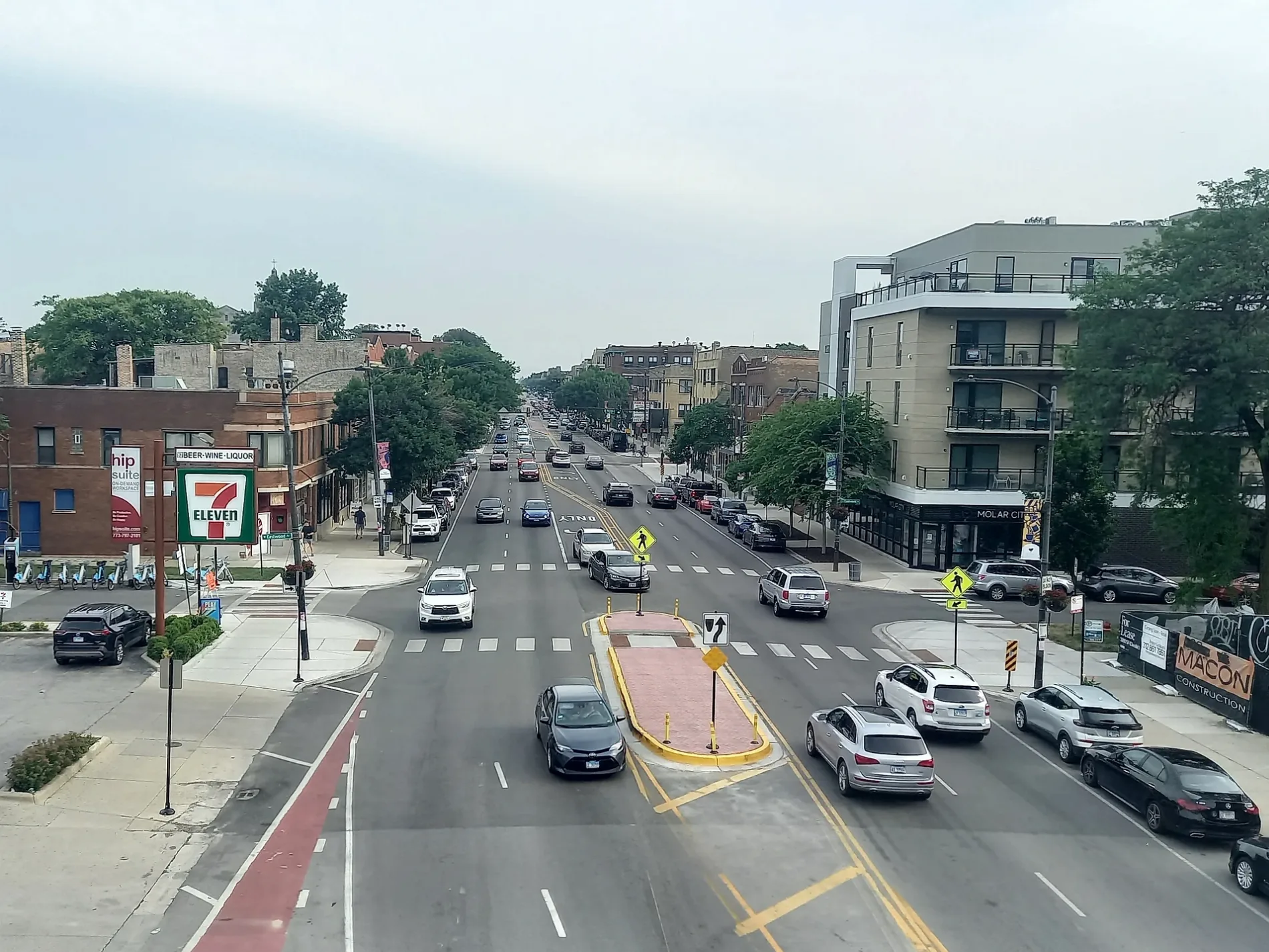
- Road Type
- residential street
- Route
- north-south
Bus stops
Vending machines
Dentist offices
Streets nearby
Dundee Avenue400 ft
Washington Avenue450 ft
Spruce Road0.2 mi
Maple Road0.2 mi
Hillside Avenue0.2 mi
Lincoln Avenue0.2 mi
Jovanna Street0.2 mi
175th Street0.2 mi
Locust Road0.2 mi
Rockwell Avenue0.3 mi
Butternut Road0.3 mi
Governors Highway0.3 mi
Roosevelt Avenue0.3 mi
Golfview Avenue0.3 mi
Tipton Avenue0.4 mi
Turtlecreek Drive0.4 mi
Magnolia Road0.4 mi
Dixmoor Drive0.4 mi
Palmer Boulevard0.4 mi
Danielle Court0.4 mi
Cedar Road0.4 mi
Howe Avenue0.4 mi
Briar Avenue0.4 mi
Larkspur Lane0.4 mi
Sycamore Drive0.5 mi
Hawthorne Road0.5 mi
Mahoney Parkway0.5 mi
Riedle Court0.5 mi
Pine Road0.5 mi
Chestnut Road0.5 mi
Woodworth Place0.5 mi
Dixie HighwayDixie Hwy & Elm, Dixie Highway, Dixie Hwy & Ridge, Dixie Hwy & 175th Street, Dixie Hwy & Maple, Dixie Hwy & 183rd Street, Dixie Hwy & Cedar, Homewood
0.5 mi
Park AvenueHomewood, Amtrak, Metra
0.6 mi
174th StreetEast Hazel Crest, Old Lincoln School, East Hazel Crest Village Hall
0.6 mi
171st Street0.6 mi
Harwood AvenueDomino's, Harwood & 183rd Street, Homewood Metra Station
0.6 mi
Tri-State Tollway0.6 mi
Cheker Square0.6 mi
Forestway Drive0.6 mi
173rd Street0.7 mi
Convenience stores nearby
Mobil Mart0.5 mi
Doctor's offices nearby
Governor's Medical Center0.5 mi
Golf courses nearby
Calumet Country Club0.6 mi
Office buildings nearby
University CoWork Southland Office0.2 mi
Parks nearby
Hillcrest Park0.3 mi
Hollydale Park0.4 mi
Railways nearby
University Park Sub District0.6 mi
Retail areas nearby
Dixie Commons0.5 mi
Streams nearby
Cherry Creek0.3 mi
| Located in | Park Forest, Chicago |
|---|---|
| Country | United States |
Public transit map Homewood Legend
| Railway | |
| Bus | |
| Streetcar |
Bicycle map Homewood Legend
| Bike path | |
| Bike lane on roadway | |
| Cycling allowed on bus lane | |
| Bicycle street | |
| Open to cyclists | |
| Open to cyclists, good path | |
| Cycling prohibited | |
| Cobblestone |
| Long-distance bike route | (depending on scale) | |
| Long-distance bike route |
Pedestrian map Homewood Legend
| Path |
| Long-distance hiking trail | (depending on scale) | |
| Long-distance hiking trail | ||
| Pedestrians prohibited |