
South Marshfield Avenue in Calumet Park, Illinois
South Marshfield Avenue in Calumet Park is a secondary road. It runs as a one-way street in a north-south direction starting from West 119th Street and crosses West 120th Street and West 121st Street. It ends in a cul-de-sac.
- Road Type
- secondary road
- Route
- north-south
Image
Cell phone stores
Stations
Police stations
Bus stops
Platforms
Car washes
Convenience stores
Tobacco shops
Vending machines
Rental services
Streets nearby
West 121st Street550 ft
West 122nd Place0.1 mi
West Asher Street0.2 mi
South Justine Street0.2 mi
West 122nd Street0.3 mi
South Paulina StreetCitgo
0.3 mi
South Page Street119th Street & Page, Saint Isidore School
0.3 mi
South Ashland AvenueAshland & 119th Street, Jean’s Cafe
0.3 mi
West 119th Street119th Street & Vincennes (Metra), 119th Street & Bell, 119th Street & Division, 1916 W 119th Street, 119th Street, T-Mobile, Subway, Panda Express, 119th Street & Marshfield, GameStop, Wingstop, 119th Street & Page
0.3 mi
South Loomis Street0.3 mi
Bishop StreetCalumet Park, U-Haul
0.4 mi
South Wood Street0.4 mi
Lincoln Street0.4 mi
Division Street0.4 mi
Honore Street0.4 mi
Laflin Street0.4 mi
124th Street124th Street & Racine, 124th Street & Throop, 124th Street & Aberdeen, 124th Street & Morgan, 124th Street & Halsted, 124th Street & Peoria
0.4 mi
South Marshfield AvenueMarshfield & 116th Street, GNC, Marshfield & 117th Street, Pizza Hut Delivery
0.4 mi
125th Street0.4 mi
West 125th Street0.5 mi
Marshfield AvenueAdvance Auto Parts, Rent-A-Center, Edible Arrangements, Walgreens
0.5 mi
Paulina Street0.5 mi
West 123rd StreetBoost Mobile, 123rd Street
0.5 mi
West 118th StreetPlacerdale
0.5 mi
West 120th StreetChurch of Christ, Evangelical Community Church, Western & 120th Street
0.5 mi
South Watkins Avenue0.6 mi
West 119th Place119th Street
0.6 mi
South Laflin Street0.6 mi
Washington Avenue123rd Street
0.6 mi
South Vincennes AvenueDeclan’s Irish Pub, Rucker Cigar Lounge, Vincennes & 109th Street, Vincennes & Ashland, Vincennes & Chelsea, Vincennes & 110th Street, Vincennes & Monterey, Vincennes & 111th Street, Vincennes & Montvale, Vincennes & Edmaire, Vincennes & 107th Street, Vincennes & 108th Place
0.7 mi
West 117th Street0.7 mi
South Church Street0.7 mi
Buildings nearby
Laflin Street Substation0.3 mi
Shops nearby
Speedy Cash Loans0.3 mi
Banks nearby
Fifth Third Bank0.3 mi
Churches nearby
Christ Universal Temple Annex0.4 mi
Fire stations nearby
Calumet Park Fire Department0.4 mi
Gas stations nearby
Marshfield Citgo0.3 mi
Industrial areas nearby
Calumet Park Public Works0.2 mi
Opticians nearby
America's Best Contacts & Eyeglasses0.4 mi
Parks nearby
Veterans Park0.3 mi
Places of worship nearby
Pioneer Baptist Church0.3 mi
Christ Universal Temple0.3 mi
Railway areas nearby
CSX Burr Oak Yard0.5 mi
Railways nearby
Blue Island Sub District0.4 mi
Restaurants nearby
Chili's0.4 mi
Retail areas nearby
Vernon Pointe Plaza0.6 mi
Retail buildings nearby
Athletico Physical Therapy0.4 mi
Train stations nearby
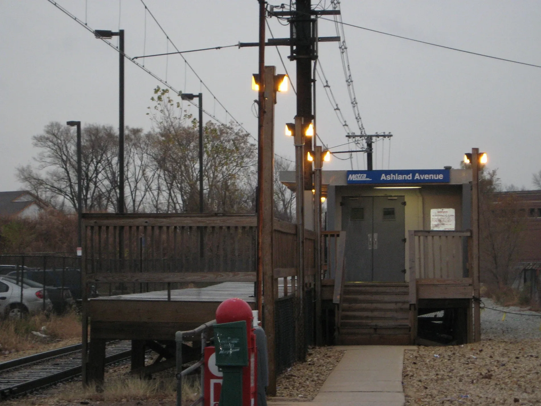
Ashland Metra Station0.3 mi
119th Street Metra Station0.6 mi
Public transit map Calumet Park Legend
| Railway | |
| Bus | |
| Streetcar |
Bicycle map Calumet Park Legend
| Bike path | |
| Bike lane on roadway | |
| Cycling allowed on bus lane | |
| Bicycle street | |
| Open to cyclists | |
| Open to cyclists, good path | |
| Cycling prohibited | |
| Cobblestone |
| Long-distance bike route | (depending on scale) | |
| Long-distance bike route |
Pedestrian map Calumet Park Legend
| Path |
| Long-distance hiking trail | (depending on scale) | |
| Long-distance hiking trail | ||
| Pedestrians prohibited |