
South Pulaski Road in West Elsdon, Chicago, Illinois
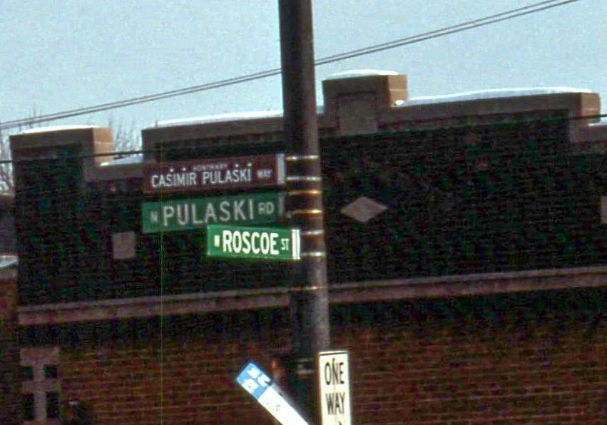
South Pulaski Road in West Elsdon in Chicago is a secondary road. It runs in a north-south direction starting from North Pulaski Road and crosses West Lexington Street, West Polk Street, West Arthington Street, West 13th Street, West 14th Street, West 15th Street, West 16th Street, West 18th Street, West 19th Street, West 21st Street and West 21st Place. It connects West Lawn, Archer Heights, Ashburn, West Elsdon, South Lawndale and North Lawndale. Nearby you can find among others 2 bakeries, a fast food restaurant, a cell phone store and a cafe. The nearest stops are Pulaski & 55th Street, 5200 S Pulaski and Pulaski & 53rd Street. The bus lines 53 and 53A serve this stop. South Pulaski Road also exists in Mount Greenwood. Ⓦ.
- Road Type
- secondary road
- Route
- north-south
Image
Cell phone stores
Video game stores
Pawn shops
Bus stops
- bus lines 53, 53A
Cafes
Restaurants
Bakeries
Fast food restaurants
Auto repair shops
Supplement stores
Streets nearby
South Harding AvenueElsdon, Dollar Tree, Lux Nail Studio, Subway, Sally Beauty, Discovery Clothing Company, Chase
450 ft
South Springfield Avenue0.1 mi
West 52nd StreetCermak Fresh Market
0.2 mi
South Komensky AvenueWest Elsdon
0.2 mi
South Avers Avenue0.2 mi
West 55th Street55th Street & Springfield, 55th Street & Hamlin, 4600 W 55th Street, FLO, 55th Street & Kostner, 55th Street & Keeler, Western Union, 55th Street & Pulaski, Pulaski & 55th Street, Circle K, 55th Street & Karlov, 55th Street & Kildare, 55th Street & Kilbourn, 55th Street & Kenneth, Sloppy Joes Dive Inn Spirits & Music, 55th Street & Lawndale, 3600 W 55th Street, Komensky Ave & 55th St
0.2 mi
South Hamlin AvenueGlenna's Hair Salon
0.3 mi
South Keeler AvenueWest 55th Street
0.3 mi
53 NBPulaski, Pulaski Orange Line Station, Ventra
0.3 mi
53 SBPulaski Orange Line Station
0.3 mi
South Kedvale Avenue0.3 mi
53APulaski Orange Line Station
0.3 mi
62Pulaski Orange Line Station
0.3 mi
West 51st StreetPulaski Rd & 51st St, Beautiful Saviour Evangelical Lutheran Church
0.3 mi
West 56th StreetPulaski & 56th Street
0.3 mi
West 55th PlaceUI Health 55th & Pulaski Health Collaborative
0.4 mi
South Karlov AvenueKarlov & Archer, Michaels, Archer Heights, Greater Chicago Food Depository, PetSmart, Ulta Beauty, Marshalls, Ross, Carter's, OshKosh B'gosh
0.4 mi
South Lawndale Avenue0.4 mi
West 56th Place0.4 mi
South Pulaski RoadPulaski & Archer, Domino's, Pulaski & 46th Street, Pastel! Cakes and More, Pulaski & 44th Street, Pulaski & 42nd Place, Pulaski & 47th Street, Pulaski & 41st Street, Pulaski & 43rd Street, Wingstop, Cricket Wireless, Pulaski & 45th Street, AT&T, Smoothie King, European Wax Center, Pizza Hut Delivery, La Michoacana
0.4 mi
South Archer AvenueArcher & 49th Street/Avers, Archer & Hamlin, Archer & Kolmar, Archer & Kilbourn, Archer & Knox, Archer & Kilpatrick, Archer & Kostner, Archer & Pulaski, Made Barber Lounge, Mr. Submarine, Archer & Keeler, Archer & Kildare, Archer & Lawndale, Archer & 47th Street
0.4 mi
West 54th StreetPulaski & 54th Street, Peoples Bank
0.5 mi
South Millard Avenue0.5 mi
South Elsdon Avenue0.5 mi
West 50th Place0.5 mi
South Ridgeway Avenue0.5 mi
Amenities nearby
Los Pequenos Angelitos Day Care0.4 mi
Shops nearby
Former Bank of America0.1 mi
Auto parts stores nearby
AutoZone0.3 mi
Clinics nearby
Greater Lawn Health Center0.3 mi
Currency exchanges nearby
55th & Pulaski Currency Exchange0.2 mi
Fast food restaurants nearby
Taco Bell350 ft
McDonald's450 ft
Burger King0.1 mi
Dunkin'0.2 mi
Gas stations nearby
Shell0.2 mi
Libraries nearby
Archer Heights Branch Library0.4 mi
Motels nearby
Midway Inn200 ft
Places of worship nearby
Divine Word Polish National Catholic Church0.4 mi
Railways nearby
Elsdon Industrial Lead0.3 mi
Restaurants nearby
Restaurante Cocula500 ft
Red Lobster0.2 mi
Giordano's Pizzeria0.2 mi
Retail areas nearby
Crossroads Hotel Plaza200 ft
Super Mall0.2 mi
Retail buildings nearby
RE/MAX Mi Casa0.2 mi
Midway Square0.3 mi
Allstate0.3 mi
Subway lines nearby
Midway Branch0.4 mi
Train stations nearby
Pulaski CTA Station0.3 mi
| Named after | Casimir Pulaski |
|---|---|
| Located in | Chicago |
| Country | United States |
Public transit map West Elsdon Legend
| Railway | |
| Bus | |
| Streetcar |
Bicycle map West Elsdon Legend
| Bike path | |
| Bike lane on roadway | |
| Cycling allowed on bus lane | |
| Bicycle street | |
| Open to cyclists | |
| Open to cyclists, good path | |
| Cycling prohibited | |
| Cobblestone |
| Long-distance bike route | (depending on scale) | |
| Long-distance bike route |
Pedestrian map West Elsdon Legend
| Path |
| Long-distance hiking trail | (depending on scale) | |
| Long-distance hiking trail | ||
| Pedestrians prohibited |