
South Pulaski Road in Ashburn, Chicago, Illinois
South Pulaski Road in Ashburn in Chicago is a secondary road. It runs in a north-south direction starting from North Pulaski Road and crosses West Lexington Street, West Polk Street, West Arthington Street, West 13th Street, West 14th Street, West 15th Street, West 16th Street, West 18th Street, West 19th Street, West 21st Street and West 21st Place. It connects West Lawn, Archer Heights, Ashburn, West Elsdon, South Lawndale and North Lawndale. The nearest stops include Pulaski & 83rd Street, Pulaski & 79th Street, Pulaski & 77th Street, Pulaski & 78th Street and Pulaski & 82nd Street. The bus lines 53, 53A, 67 and 390 serve this stop. Ⓦ.
- Road Type
- secondary road
- Route
- north-south
Image
Bus stops
- bus lines 53, 53A, 67, 390
Streets nearby
West 84th StreetPulaski & 84th Street, Pulaski Rd & 84th St, Ashburn
350 ft
West 85th StreetPulaski & 85th Street, Kedzie & 85th Street, Cicero & 85th Street, Kildare Ave & 85th St, Francisco Ave & 85th St
0.2 mi
South Komensky Avenue0.2 mi
West 83rd PlaceAshburn, Columbus Ave & 83rd Pl
0.3 mi
South Keeler Avenue0.3 mi
West 81st PlaceMobil
0.3 mi
West 82nd PlaceClarkdale
0.3 mi
West Columbus AvenueBaskin-Robbins, Caliber Collision, Columbus Ave & 79th St
0.3 mi
West 84th PlaceVito & Nick's Pizzeria
0.3 mi
West Crestline Street0.3 mi
South Tripp Avenue0.3 mi
West 82nd StreetPulaski & 82nd Street, Kedzie & 82nd Street
0.3 mi
West 86th StreetPulaski & 86th Street, Cicero & 86th Street, Western Union
0.3 mi
South Hamlin Avenue0.3 mi
South Springfield AvenueSpringfield Ave & 80th St
0.3 mi
West 81st StreetPulaski & 81st Street, Kedzie & 81st Street, Catherines, Cicero & 81st Street
0.3 mi
West Rumsey Avenue0.3 mi
West 85th Place0.4 mi
South Lawndale Avenue0.4 mi
West 80th Place0.4 mi
West 83rd StreetKedzie Ave & 83rd St, Scottsdale Park, Western & 83rd Street, Citgo
0.4 mi
South Kedvale Avenue0.4 mi
South Kolin Avenue0.5 mi
South Kildare Avenue0.5 mi
South Kostner Avenue0.5 mi
South Kirkland Avenue0.5 mi
South Karlov Avenue0.5 mi
West 79th PlaceLiberty Temple
0.5 mi
West 80th StreetAshburn, Wrightwood
0.6 mi
Shops nearby
Former White Castle0.5 mi
Bowling alleys nearby
Bluebird Lanes0.3 mi
Convenience stores nearby
Citgo500 ft
Mobil Mart0.2 mi
Fast food restaurants nearby
McDonald's550 ft
Dunkin'0.4 mi
Gas stations nearby
Mobil0.2 mi
Industrial buildings nearby
Southwest Pumping Station0.2 mi
Laundries nearby
Smart Wash300 ft
Parks nearby
Durkin Park0.3 mi
Bogan Park0.3 mi
Places of worship nearby
Ashburn United Methodist Church0.2 mi
Masjid Al Muhajireen0.3 mi
Saint Peter's Evangelical Lutheran Church0.3 mi
Saint Bede the Venerable Church0.5 mi
Restaurants nearby
Angie's300 ft
Retail areas nearby
Imperial Plaza0.4 mi
School buildings nearby
Durkin Park Annex0.4 mi
Sports centers nearby
Bogan Park Fiedhouse0.3 mi
Variety stores nearby
Family Dollar250 ft
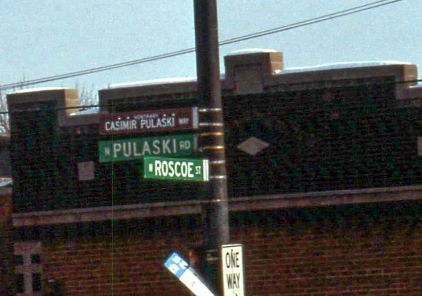
| Named after | Casimir Pulaski |
|---|---|
| Located in | Chicago |
| Country | United States |
Public transit map Ashburn Legend
| Railway | |
| Bus | |
| Streetcar |
Bicycle map Ashburn Legend
| Bike path | |
| Bike lane on roadway | |
| Cycling allowed on bus lane | |
| Bicycle street | |
| Open to cyclists | |
| Open to cyclists, good path | |
| Cycling prohibited | |
| Cobblestone |
| Long-distance bike route | (depending on scale) | |
| Long-distance bike route |
Pedestrian map Ashburn Legend
| Path |
| Long-distance hiking trail | (depending on scale) | |
| Long-distance hiking trail | ||
| Pedestrians prohibited |