
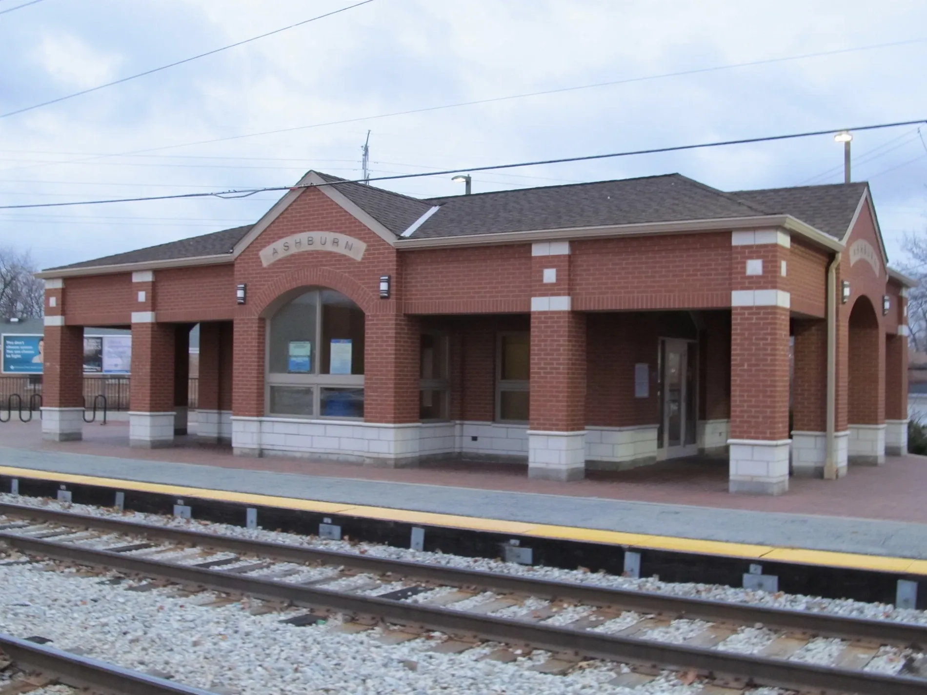
West Columbus Avenue in Ashburn, Chicago, Illinois
West Columbus Avenue in Ashburn in Chicago is a secondary road. It runs in a northeast-southwest direction and crosses West 77th Street, South Richmond Street, South Whipple Street, South Albany Avenue, South Troy Street, South Kedzie Avenue, West 79th Street, South Spaulding Avenue, South Christiana Avenue, South Homan Avenue, South Trumbull Avenue and West 81st Place. Nearby you can find an auto repair shop, a bike rental and an ice cream shop. The nearest bus stop is 79th Street & Central Park (about 700 m away).
- Road Type
- secondary road
- Route
- northeast-southwest
Image
Auto repair shops
Ice cream shops
Streets nearby
West 82nd PlaceClarkdale
0.1 mi
South Saint Louis Avenue0.1 mi
West 82nd StreetPulaski & 82nd Street, Kedzie & 82nd Street
0.2 mi
West 80th Place0.3 mi
West 84th PlaceVito & Nick's Pizzeria
0.3 mi
South Homan AvenueMitchells Subdivision
0.3 mi
West 85th StreetKedzie & 85th Street, Pulaski & 85th Street, Cicero & 85th Street, Kildare Ave & 85th St, Francisco Ave & 85th St
0.4 mi
South Trumbull Avenue0.4 mi
South Drake Avenue0.4 mi
West 79th PlaceLiberty Temple
0.4 mi
West 80th StreetAshburn, Wrightwood
0.4 mi
South Central Park Avenue0.4 mi
West 81st StreetPulaski & 81st Street, Kedzie & 81st Street, Catherines, Cicero & 81st Street
0.4 mi
South Springfield AvenueSpringfield Ave & 80th St
0.4 mi
South Hamlin Avenue0.4 mi
South Lawndale Avenue0.4 mi
West 79th Street79th Street & Albany, 79th Street & Sacramento, 79th Street & Pulaski, 79th Street & Central Park, 79th Street & St. Louis, Citgo, 79th Street & Springfield, 79th Street & Homan, 79th Street & Columbus (Metra), 79th Street & Lawndale, Smoke Filled Room, 79th Street & California, 79th Street & Francisco, 79th Street & Washtenaw, 79th Street & Kedzie, 79th Street & Western, 79th Street & Talman, 79th Street & Campbell, 79th Street & Kilpatrick, 79th Street & Kostner, 79th Street & Tripp, 79th Street & Hamlin, 79th Street & Karlov, 79th Street & Kilbourn, 79th Street & Kenton, 79th Street & Cicero, Baskin-Robbins, 79th Street & Kilpatrick (Scottsdale Shopping Center), 79th Street & Spaulding, 79th Street & Oakley
0.5 mi
South Christiana Avenue0.5 mi
South Spaulding Avenue0.5 mi
South Sawyer AvenueWrightwood
0.5 mi
West 85th Place0.5 mi
South Kedzie AvenueKedzie & 83rd Street, Kedzie & 77th Street, Kedzie & 84th Street, Kedzie & 85th Street, Dunkin', Baskin-Robbins, 8600 S Kedzie, Subway, Metro by T-Mobile, Kedzie & 87th Street, Southwest School of Business, Kedzie & 81st Street, Kedzie & 82nd Street, New Foundation Of Hope Inc, Kedzie & 80th Street, Kedzie & 79th Street (Metra), Kedzie & 78th Street, Wrightwood
0.5 mi
West 83rd PlaceAshburn, Columbus Ave & 83rd Pl
0.5 mi
West 83rd StreetKedzie Ave & 83rd St, Scottsdale Park, Western & 83rd Street, Citgo
0.5 mi
West 81st PlaceMobil
0.5 mi
South Pulaski RoadPulaski & 83rd Street, Pulaski & 79th Street, Pulaski & 77th Street, Pulaski & 78th Street, Pulaski & 82nd Street, Pulaski & 87th Street, Pulaski & 86th Street, Pulaski & 74th Street, Pulaski & 76th Street, 8000 S Pulaski, Pulaski & 81st Street
0.5 mi
West 86th StreetPulaski & 86th Street, Cicero & 86th Street, Western Union
0.5 mi
West 84th StreetPulaski & 84th Street, Pulaski Rd & 84th St, Ashburn
0.6 mi
West 86th Place0.6 mi
West Rumsey Avenue0.6 mi
West 87th Street87th Street & Lawndale, 87th Street & Hamlin, Beverly Country Club, 87th Street & Springfield
0.6 mi
Bakeries nearby
D&D’s Place0.5 mi
Banks nearby
Chase0.5 mi
Bowling alleys nearby
Bluebird Lanes0.6 mi
Convenience stores nearby
Mobil Mart0.5 mi
Fast food restaurants nearby
McDonald's0.5 mi
Gas stations nearby
Citgo0.4 mi
Mobil0.5 mi
Parks nearby
Bogan Park0.5 mi
Lee Park0.6 mi
Places of worship nearby
Ashburn Baptist Church0.2 mi
Ashburn Lutheran Church0.3 mi
Masjid Al Muhajireen0.3 mi
Ashburn United Methodist Church0.3 mi
Post offices nearby
Ashburn Post Office0.4 mi
Railways nearby
Southwest Sub District0.2 mi
Restaurants nearby
Angie's0.6 mi
School buildings nearby
Ashburn School0.1 mi
Sports centers nearby
Bogan Park Fiedhouse0.5 mi
Public transit map Ashburn Legend
| Railway | |
| Bus | |
| Streetcar |
Bicycle map Ashburn Legend
| Bike path | |
| Bike lane on roadway | |
| Cycling allowed on bus lane | |
| Bicycle street | |
| Open to cyclists | |
| Open to cyclists, good path | |
| Cycling prohibited | |
| Cobblestone |
| Long-distance bike route | (depending on scale) | |
| Long-distance bike route |
Pedestrian map Ashburn Legend
| Path |
| Long-distance hiking trail | (depending on scale) | |
| Long-distance hiking trail | ||
| Pedestrians prohibited |