
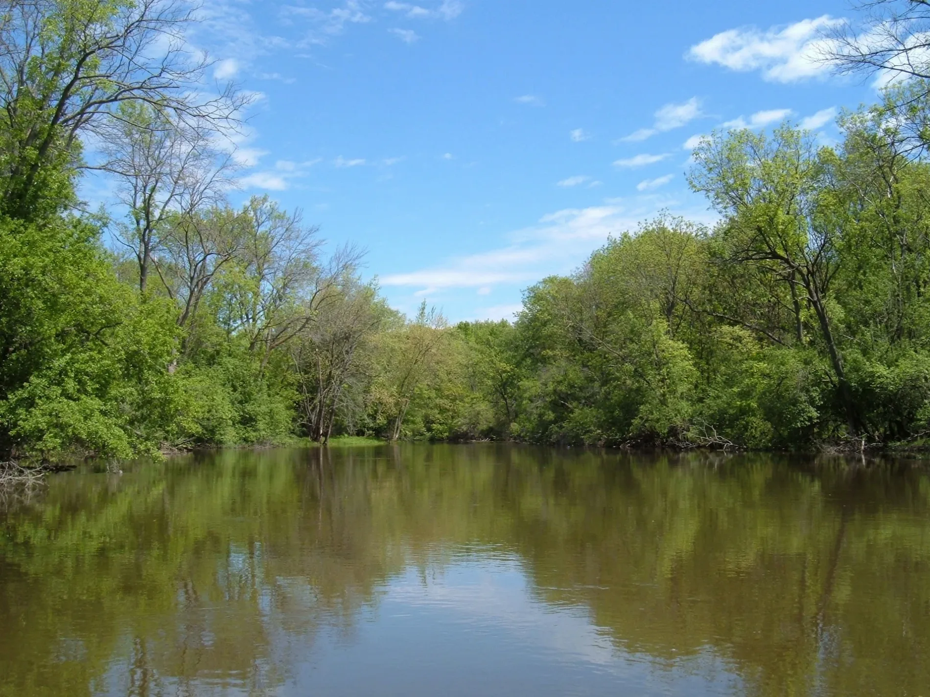
Des Plaines River in River Grove, Illinois
Des Plaines River in River Grove is a river. Des Plaines River also exists in Schiller Park and Franklin Park. Ⓦ.
- Waterway Type
- river
Image
Self storages
Schools
Bus stops
Places of worship
Picnic areas
Gas stations
Police stations
Streets nearby
North 1st Avenue0.1 mi
Des Plaines River RoadFullerton Woods Family Picnic Area, River Road & Herrick, River Road & Richard, River Road & Grand, River Road & Wrightwood, River Road & Fullerton
0.1 mi
Des Plaines River Trail Yellow Unpaved0.3 mi
Des Plaines River Trail Black Unpaved Spur (South)Jerome Huppert Woods Trail Access
0.3 mi
Des Plaines River Trail Green Unpaved Spur (South)Evans Field Trail Access
0.3 mi
Jerome Huppert Woods Access Road0.3 mi
Hemingway Drive0.4 mi
Albert Bruno Way0.4 mi
Thatcher Road0.4 mi
West Country Club Lane0.4 mi
Des Plaines River Trail Tan Unpaved Spur (South)Fullerton Woods Trail Access
0.4 mi
Fullerton Woods Family Picnic Area Access Road0.4 mi
Evans Field Access Road0.4 mi
Des Plaines River Trail Yellow Paved SpurSunset Bridge Meadow Trail Access
0.4 mi
Palmer Street0.4 mi
West Cortland Parkway0.4 mi
Sunset Bridge Meadow Access Road0.5 mi
North Thatcher Avenue0.5 mi
West Bloomingdale AvenueBP
0.5 mi
Fullerton Woods Access Road0.5 mi
West Lyndale Street0.5 mi
West Fullerton Avenue0.5 mi
Cortland Parkway0.5 mi
North 79th Court0.5 mi
North Budd Street0.5 mi
Wood Street0.5 mi
Greenwood Terrace0.6 mi
Clinton StreetSaint Cyprian School, Saint Cyprian Church
0.6 mi
Marwood StreetRosati's
0.6 mi
Forest View Avenue0.6 mi
Davisson Street0.7 mi
Buildings nearby
Clubhouse0.3 mi
Convenience stores nearby
Marathon0.6 mi
Gardens nearby
Triton College Botanical Garden0.4 mi
Gas stations nearby
Costco Gasoline0.4 mi
Golf courses nearby
Oak Park Country Club0.4 mi
Nature reserves nearby
Forest Preserve District of Cook County0.4 mi
Picnic areas nearby
Evans Field Grove #10.4 mi
Jerome Huppert Woods Grove #10.4 mi
Fullerton Woods Grove #10.4 mi
Sunset Bridge Meadow Grove #10.5 mi
Sports fields nearby
Triton Sofball Field0.4 mi
Stadiums nearby
Triton Multi-Purpose Field0.3 mi
Symonds Puckett Field0.3 mi
Streams nearby
Golf Corse Tributary0.5 mi
Technical colleges nearby
T0.3 mi
R - Robert M. Collins Center0.3 mi
A0.4 mi
Wholesale stores nearby
Costco0.5 mi
| Length | 241 |
|---|---|
| Elevation | 152 m |
| Located in | Illinois, Wisconsin |
| Country | United States |
| Mouth | Illinois River |
| Tributary | DuPage River, Chicago Sanitary and Ship Canal, Buffalo Creek, Salt Creek |
 Public transit map River Grove Legend
| Railway | |
| Bus | |
| Streetcar |
 Bicycle map River Grove Legend
| Bike path | |
| Bike lane on roadway | |
| Cycling allowed on bus lane | |
| Bicycle street | |
| Open to cyclists | |
| Open to cyclists, good path | |
| Cycling prohibited | |
| Cobblestone |
| Long-distance bike route | (depending on scale) | |
| Long-distance bike route |
 Pedestrian map River Grove Legend
| Path |
| Long-distance hiking trail | (depending on scale) | |
| Long-distance hiking trail | ||
| Pedestrians prohibited |