
Des Plaines River in Rosemont, Illinois
Des Plaines River in Rosemont is a river. Des Plaines River also exists in Schiller Park and River Grove. Ⓦ.
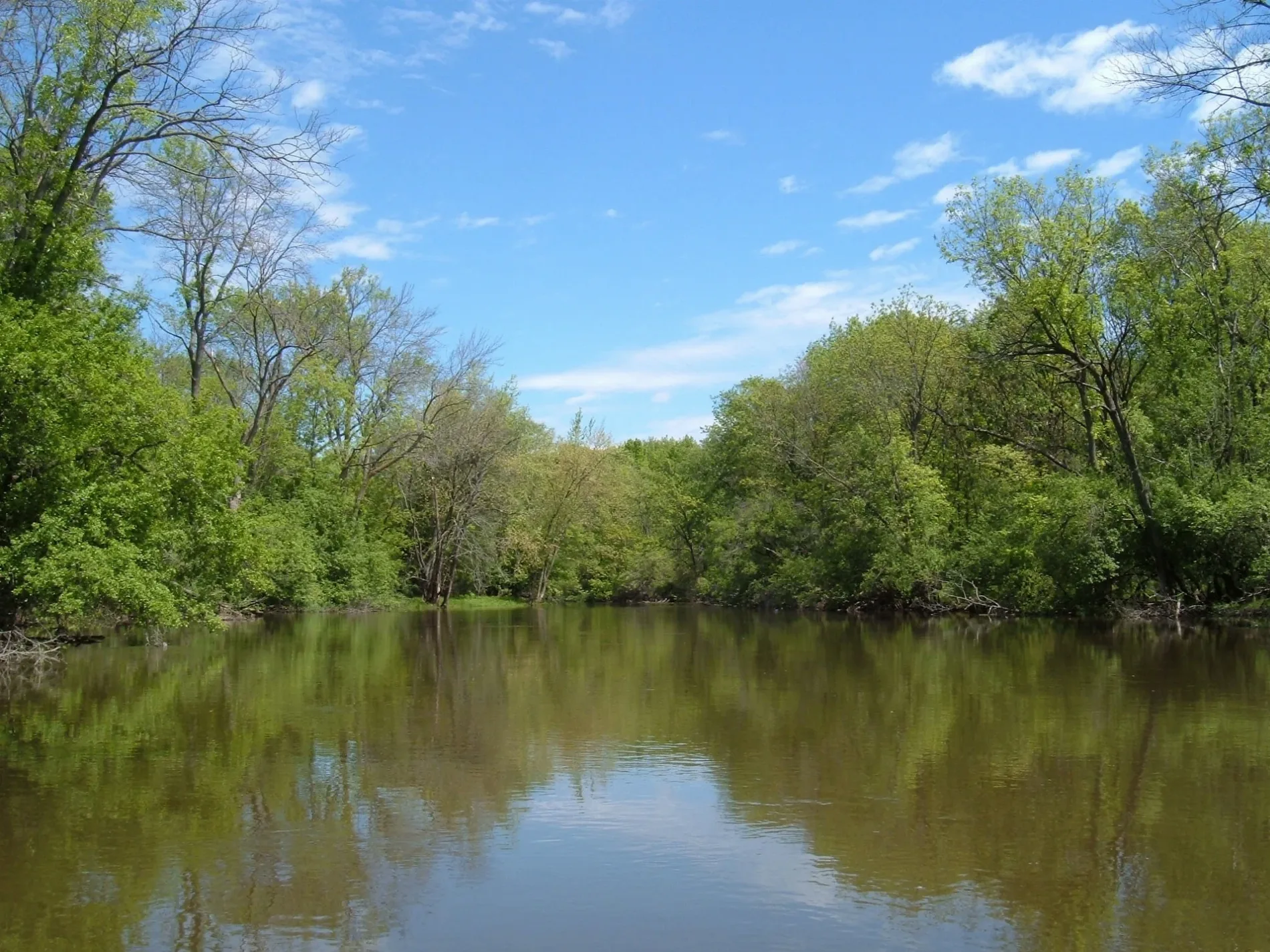
- Waterway Type
- river
Bus stops
Fast food restaurants
Copy shops
Restaurants
Cafes
Convenience stores
Post offices
Museums
- Museum of Hummels (Web) at West Higgins Road 9513 (60018) – approx. 0.3 mi.
Taxi stands
Streets nearby
West Higgins RoadHiggins & Mannheim, FedEx Office, Cilantro Taco Grill, Higgins & Patton, Stan's Donuts & Coffee, Big Chicken, 9700 W Higgins Rd, Higgins & River Road, Rosemont Post Office, Museum of Hummels, Higgins & Gage
500 ft
North River RoadRiver Road & Devon, River Road & Glenlake, 6025 N River Rd, River Road & Balmoral, River Road & Bryn Mawr, 6250 N River Rd
550 ft
Maple Drive0.2 mi
Willow Creek Drive7-Eleven
0.3 mi
Blue Beech Family Picnic Area Access RoadBlue Beech Family Picnic Area
0.3 mi
Jane Addams Memorial TollwayRiver Road Toll Plaza
0.3 mi
Wide Load OnlyRiver Road Toll Plaza
0.3 mi
Glenlake Avenue0.3 mi
South Dee RoadDee & Talcott, Dee & Touhy
0.4 mi
Gage StreetMoretti's Pizza, Subway
0.4 mi
River Road Plaza Access Road0.4 mi
Devon Avenue0.4 mi
Des Plaines River Trail Yellow UnpavedDes Plaines River Trail, Forest Preserve District of Cook County
0.4 mi
Pickup Lane0.4 mi
Taxi LaneRosemont Blue Line Station
0.4 mi
Cumberland Flyover0.5 mi
Kennedy ExpresswayRosemont, Rosemont Blue Line Station, Ventra, O'Hare West Toll Plaza, Dunkin', CTA Rosemont Yard
0.5 mi
Des Plaines River Trail Yellow PavedRobinson Woods-South Trail Access
0.6 mi
Cemeteries nearby
Saint Nicholas Ukrainian Catholic Cemetery0.4 mi
Commercial areas nearby
Riverway200 ft
Community centers nearby
Dunne Park Recreation Center0.3 mi
Convenience stores nearby
Mobil Mart0.1 mi
Covered areas nearby
River Road Plaza 190.4 mi
Rosemont CTA Station0.5 mi
Fast food restaurants nearby
McDonald's0.1 mi
Small Cheval0.2 mi
Taco Bell0.3 mi
Fire stations nearby
Rosemont Fire Department Station 10.4 mi
Forests nearby
Forest Preserve District of Cook County0.5 mi
Gas stations nearby
Mobil0.1 mi
Hotels nearby
The Westin O'Hare0.2 mi
Chicago Marriott Suites O'Hare0.2 mi
Hampton Inn & Suites Rosemont Chicago O’Hare0.3 mi
Hyatt Rosemont0.4 mi
Office buildings nearby
Rosemont Center0.2 mi
One O'Hare Center0.3 mi
6300 River Road0.4 mi
Parks nearby
Monument Park500 ft
Dunne Park0.3 mi
Places of worship nearby
All Saints Cathedral0.3 mi
Preschools nearby
Bright Horizons0.3 mi
Restaurants nearby
Giordano's Pizzeria0.2 mi
Rivers nearby
Des Plaines River0.2 mi
School buildings nearby
Maine Township School District 2070.5 mi
Streams nearby
Willow Creek0.4 mi
Subway lines nearby
O'Hare Branch0.5 mi
Northbound Receiving Track0.5 mi
Trail Track0.5 mi
Southbound Departure Track0.5 mi
Transportation buildings nearby
Rosemont Yard Tower0.5 mi
| Length | 241 |
|---|---|
| Elevation | 152 m |
| Located in | Illinois, Wisconsin |
| Country | United States |
| Mouth | Illinois River |
| Tributary | DuPage River, Chicago Sanitary and Ship Canal, Buffalo Creek, Salt Creek |
Public transit map Rosemont Legend
| Railway | |
| Bus | |
| Streetcar |
Bicycle map Rosemont Legend
| Bike path | |
| Bike lane on roadway | |
| Cycling allowed on bus lane | |
| Bicycle street | |
| Open to cyclists | |
| Open to cyclists, good path | |
| Cycling prohibited | |
| Cobblestone |
| Long-distance bike route | (depending on scale) | |
| Long-distance bike route |
Pedestrian map Rosemont Legend
| Path |
| Long-distance hiking trail | (depending on scale) | |
| Long-distance hiking trail | ||
| Pedestrians prohibited |