
Clark Street in South Holland, Illinois
Clark Street in South Holland is a residential street. It runs in a north-south direction starting from Forest View Lane and crosses West 152nd Street. It ends in a cul-de-sac. Clark Street is also known as North Clark Street. Clark Street also exists in Dolton and Thornton. Ⓦ.
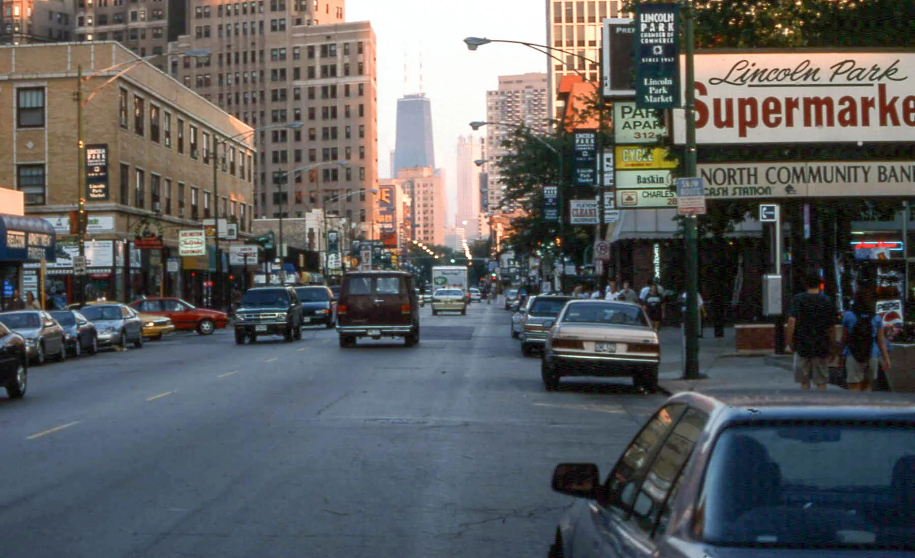
- Road Type
- residential street
- Route
- north-south
Bus stops
Places of worship
Money transfer services
Community centers
Schools
Fast food restaurants
Car rentals
Streets nearby
West 152nd Street350 ft
West 152nd Place500 ft
Woodland Drive0.1 mi
East Riverside Drive0.1 mi
Forest View Lane0.2 mi
Oakdale Avenue0.2 mi
East 152nd Street0.2 mi
West 153rd Place0.2 mi
East 151st Street0.2 mi
State StreetState & 162nd Street, State & 164th Street, Wingstop, Subway, Enterprise, State & 154th Street, Church of Christ, South Suburban College, Indiana & Sibley
0.2 mi
Markham Drive0.2 mi
West 154th Street0.3 mi
Parkside Avenue0.3 mi
South Indiana Avenue State Street0.3 mi
East 148th Place0.3 mi
East Sibley BoulevardSibley & Michigan, Western Union, Sibley & Indiana/State, Sibley & State, Sibley & MLK Drive, Sibley & Evers, Sibley & Greenwood, Checkers, Circle K, Amazing Touch Dental, Sibley & Irving, Sibley & Woodlawn, Walgreens, Baskin-Robbins, Metro by T-Mobile, Sibley & Langley, Sibley & Cottage Grove, Sibley & Dorchester, Sibley & Michigan City/Lincoln
0.3 mi
South Indiana AvenueIndiana & Sibley, Indiana & 142nd Street, Indiana & 139th Street, Indiana & 144th Street, Indiana & 146th Street, Indiana & 148th Street
0.3 mi
East 149th Street0.4 mi
West 155th Street0.4 mi
West 149th Street0.4 mi
151st Place0.4 mi
West Riverside Drive0.4 mi
Wentworth Avenue0.5 mi
LaSalle Street0.5 mi
Michigan Avenue0.5 mi
East 148th StreetIndiana & 148th Street
0.5 mi
Wabash Avenue0.5 mi
East 147th Place0.5 mi
Edbrooke Avenue0.5 mi
Perry Avenue0.5 mi
North Riverside Drive0.5 mi
Dearborn Street0.5 mi
West 148th Street0.5 mi
West Sibley BoulevardSibley & 147th Street Metra Station, Sibley & Wallace, Sibley & Markham/LaSalle, Sibley & LaSalle/Markham
0.5 mi
Clark Street0.6 mi
Convenience stores nearby
Arco0.3 mi
Citgo0.3 mi
Fast food restaurants nearby
McDonald's0.5 mi
Dunkin'0.6 mi
Gas stations nearby
Marathon0.2 mi
Parks nearby
Tomahawk Park0.3 mi
Riverside Park0.4 mi
Pawn shops nearby
EZPAWN0.5 mi
Places of worship nearby
Bible Fellowship Church0.3 mi
Welcome Missionary Baptist Church0.4 mi
Railways nearby
Yard Lead0.4 mi
Villa Grove Subdivision0.4 mi
516 Track0.5 mi
Rivers nearby
Little Calumet River0.4 mi
School buildings nearby
Brooks Middle School0.6 mi
| Named after | George Rogers Clark |
|---|---|
| Located in | Chicago |
| Country | United States |
Public transit map South Holland Legend
| Railway | |
| Bus | |
| Streetcar |
Bicycle map South Holland Legend
| Bike path | |
| Bike lane on roadway | |
| Cycling allowed on bus lane | |
| Bicycle street | |
| Open to cyclists | |
| Open to cyclists, good path | |
| Cycling prohibited | |
| Cobblestone |
| Long-distance bike route | (depending on scale) | |
| Long-distance bike route |
Pedestrian map South Holland Legend
| Path |
| Long-distance hiking trail | (depending on scale) | |
| Long-distance hiking trail | ||
| Pedestrians prohibited |