
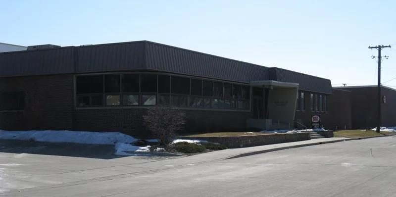
South Robinson Street in Bloomington, Illinois
South Robinson Street in Bloomington is a residential street. The street has bike paths (bike protection lane). It runs in a north-south direction starting from North Robinson Street and crosses East Front Street, East Grove Street, East Olive Street, East Taylor Street and Felton Place and ends at East Oakland Avenue. This street is part of the Bicycle routes Route 66 and McLean County Historic Route 66 Trail.
- Bike Lane
- shared lane
- Road Type
- residential street
- Route
- north-south
Image
Streets nearby
Constitution Trail Illinois Central Branch350 ft
Railroad StreetRecreation Coffee
450 ft
East Front Street500 ft
North Clinton Street550 ft
South Clinton StreetGrace United Methodist Church, Bethel Church
550 ft
North Robinson Street0.1 mi
North McClun Street0.2 mi
East Taylor Street0.2 mi
East Olive StreetMcLean County Sheriff
0.2 mi
East Grove StreetMeltdown Creative Works, Refined Studios
0.2 mi
North Clayton Street0.2 mi
South McClun Street0.2 mi
East Monroe Street0.2 mi
Monroe Drive0.2 mi
East Washington StreetMorgan-Michaels Family Dentistry, Potbelly, GameStop, The Lash Room, LLC, Blooming Life Studio & Spa, Your CBD Store of Bloomington, Tony's Tacos, Dop's Jerk House, Bloomington Cycle and Fitness, Gingerbread House
0.2 mi
Davis Avenue0.2 mi
East Jackson Street0.3 mi
Felton Place0.3 mi
South Denver StreetFoursquare Gospel Church
0.3 mi
South Evans StreetAlter Metal Recycling
0.3 mi
North Evans Street0.3 mi
East Jefferson StreetSecond Presbyterian Pre-School
0.3 mi
North Linden Street0.3 mi
East Oakland AvenueDunkin', Baskin-Robbins, Heartland Bank, Bloomington Career Academy, Walgreens, Subway, Nail Bar, Saint Matthews Episcopal Church, New Hope Missionary Baptist Church, Blood Alley
0.3 mi
South Clinton Steet0.3 mi
Kenyon Court0.3 mi
Shops nearby
Green Top Grocery0.1 mi
Lyca Mobile0.2 mi
Auto repair shops nearby
Speed Lube0.2 mi
Bakeries nearby
Grove Street Bakery300 ft
Beauty salons nearby
Rise Salon Suites500 ft
Buildings nearby
BEER NUTS Plant & Company Store300 ft
Lu Lu's Pizza0.1 mi
Bloomington-Normal Truck Performance0.3 mi
Convenience stores nearby
Franzetti's Pantry Plus550 ft
Gardens nearby
Sarah's Garden0.3 mi
Gas stations nearby
Circle K0.3 mi
Guest houses nearby
Vrooman Mansion0.2 mi
Houses nearby
George H. Cox House0.2 mi
David Davis III & IV House0.2 mi
Ruben M. Benjamin House0.2 mi
John M. Hamilton House0.3 mi
Shelter Insurance0.3 mi
Industrial areas nearby
BEER NUTS350 ft
Museums nearby
David Davis Mansion0.3 mi
Parks nearby
Atwood Wayside0.2 mi
Places of worship nearby
Wesley United Methodist Church0.3 mi
Variety stores nearby
Dollar General0.3 mi
Other nearby
Dimmitt's Grove0.3 mi
 Public transit map Bloomington Legend
| Railway | |
| Bus | |
| Streetcar |
 Bicycle map Bloomington Legend
| Bike path | |
| Bike lane on roadway | |
| Cycling allowed on bus lane | |
| Bicycle street | |
| Open to cyclists | |
| Open to cyclists, good path | |
| Cycling prohibited | |
| Cobblestone |
| Long-distance bike route | (depending on scale) | |
| Long-distance bike route |
 Pedestrian map Bloomington Legend
| Path |
| Long-distance hiking trail | (depending on scale) | |
| Long-distance hiking trail | ||
| Pedestrians prohibited |