
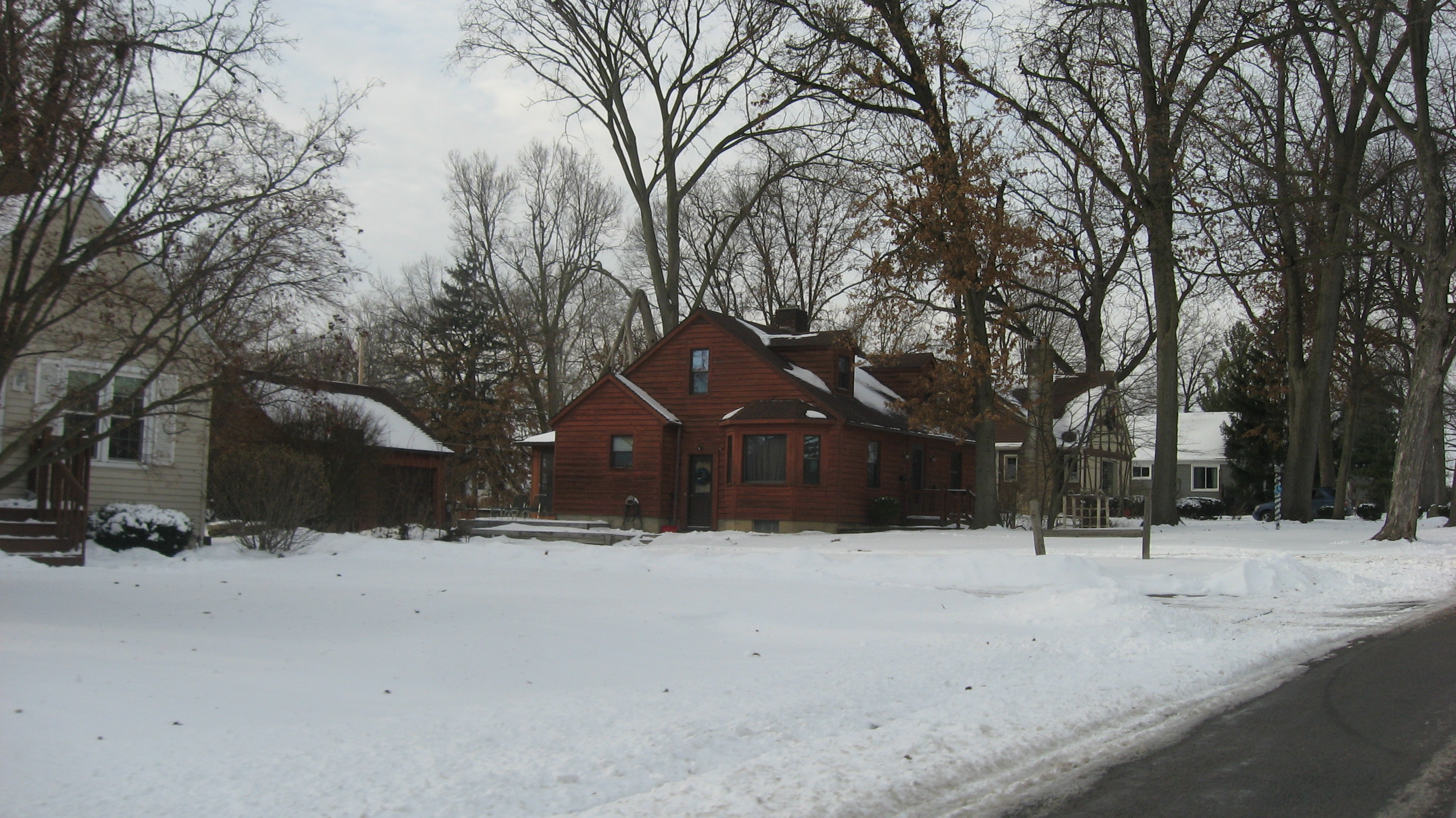
Livingston Avenue in Fort Wayne, Indiana
Livingston Avenue in Fort Wayne is a residential street and runs in an east-west direction starting from North Clinton Street and crosses Edgewood Avenue and Spy Run Avenue.
- Road Type
- residential street
- Route
- east-west
Image
Jewelry stores
Bars
Cafes
Supermarkets
Thrift stores
Bookstores
Fast food restaurants
Clothing stores
Restaurants
Attractions
Shoe stores
Candle shops
Schools
Artworks
Streets nearby
Brudi Avenue350 ft
Eleanor Avenue400 ft
Glenn Avenue0.1 mi
Edgewood Avenue Mhp0.1 mi
Ernst Court0.1 mi
Edgewood Avenue0.1 mi
Constance Avenue0.1 mi
Figel Avenue0.1 mi
North Clinton StreetFive Guys, Advance Auto Parts
0.2 mi
Penn Avenue0.2 mi
Catherine Avenue0.2 mi
Lima RoadIndian Market And Desi Kitchen, Belle Tire, Latchstring bar (& food), Starbucks, Nothing Bundt Cakes, Ashley Sleep
0.2 mi
Turnstone Spur0.2 mi
Allen Avenue0.2 mi
Dalgren Avenue0.2 mi
Parkhill Avenue0.3 mi
Cumberland Avenue0.3 mi
Spy Run Hill Drive0.3 mi
River GreenwayRiver greenway Lawton Park, St. Mary's overlook Deck, Wells Fargo
0.3 mi
Dunnwood Drive0.3 mi
Chambeau Road0.3 mi
Oswego Avenue0.3 mi
Fernhill Avenue0.4 mi
Coldwater RoadALDI, Blaze Pizza, Franciscan Center Family Thrift, Spice & Herb Thai Cuisine, BurgerFi, El Puerto De San Blas, Familia, Haru Japanese Restaurant, Speedway, Rum Runners
0.4 mi
Spy Run Avenue0.4 mi
Glazier Avenue0.4 mi
Newport Avenue0.4 mi
Ridgewood Drive0.4 mi
Field Street0.4 mi
Forest Hill Avenue0.4 mi
Glenbrook MHP0.4 mi
Kenwood Avenue0.5 mi
Ferguson Avenue0.5 mi
Fernwood Avenue0.5 mi
Coliseum Park apts0.5 mi
Somerset Lane0.5 mi
Coliseum Park Apartments0.5 mi
Auto repair shops nearby
Firestone0.4 mi
Buildings nearby
Turnstone (Plassman Athletic Center)200 ft
Lazer X0.3 mi
Car dealerships nearby
CarMax0.2 mi
Department stores nearby
JCPenney0.5 mi
Parks nearby
Vesey Park0.3 mi
Places of worship nearby
Highland Bethel Church0.4 mi
Residential areas nearby
Glenbrook Motor Home Park0.4 mi
Centlivre0.4 mi
Highland Park Forest0.5 mi
Restaurants nearby
Granite City Food and Brewery0.3 mi
Supermarkets nearby
Target0.3 mi
Public transit map Fort Wayne Legend
| Railway | |
| Bus | |
| Streetcar |
Bicycle map Fort Wayne Legend
| Bike path | |
| Bike lane on roadway | |
| Cycling allowed on bus lane | |
| Bicycle street | |
| Open to cyclists | |
| Open to cyclists, good path | |
| Cycling prohibited | |
| Cobblestone |
| Long-distance bike route | (depending on scale) | |
| Long-distance bike route |
Pedestrian map Fort Wayne Legend
| Path |
| Long-distance hiking trail | (depending on scale) | |
| Long-distance hiking trail | ||
| Pedestrians prohibited |