
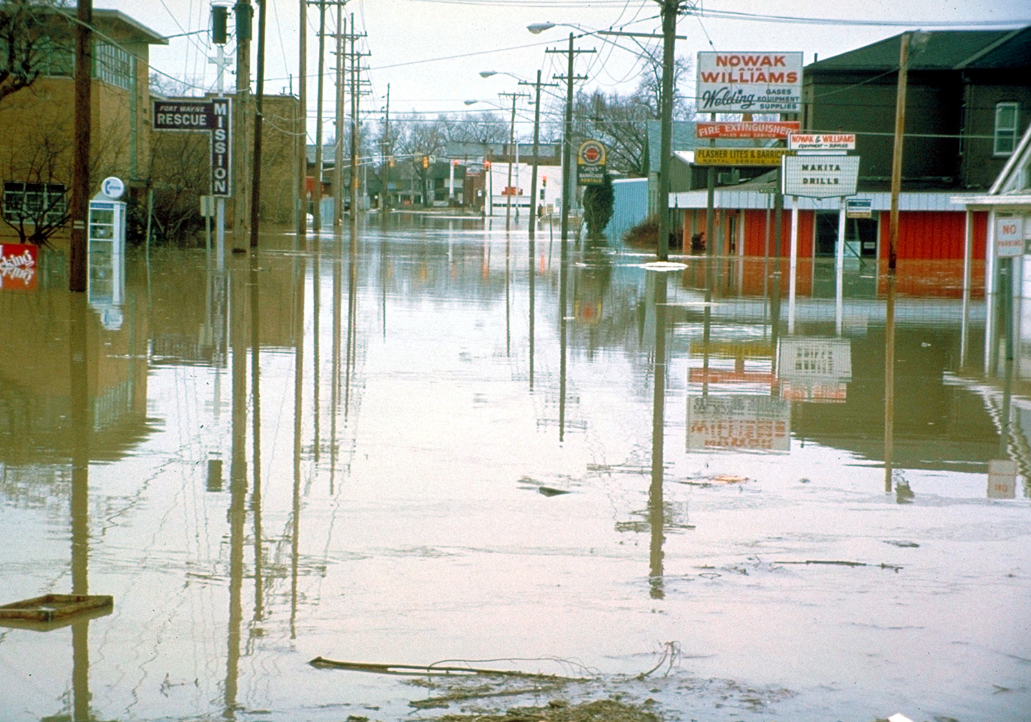
South Calhoun Street in Fort Wayne, Indiana
South Calhoun Street in Fort Wayne is a two-lane, asphalted local road. It runs in a north-south direction and crosses East Tillman Road, East Hoover Drive, Kenosha Boulevard, Corwin Ln; Edgeknoll Lane, Dunbar Lane, East Concord Lane, East Crown Lane, Burns Drive, East Cox Drive, East Paulding Road, Doan Drive and East Pettit Avenue. Nearby you can find among others 2 artworks, 2 restaurants, a bike rental and a jewelry store. South Calhoun Street also exists in Whitley County.
- Road Type
- residential street
- Lanes
- 2
- Speed Limit
- 30 mph
- Route
- north-south
Image
Cafes
Tourist information centers
Clothing stores
Fast food restaurants
Artworks
Bike rentals
Bicycle parking
Pawn shops
Variety stores
Restaurants
Jewelry stores
Banks
Pubs
Gas stations
Streets nearby
South Harrison StreetSweetwater Bandshell, Convergence, Abraham Lincoln: The Hoosier Youth, Crack The Whip, River Otter, Blue Birds, The Warehouse Salon, Tolon
500 ft
Dock Street3BG Supply Co., The Local Archive
0.1 mi
West Columbia Street0.1 mi
North Dock0.1 mi
North Harrison Street0.2 mi
Parkview Tree Canopy Trail0.2 mi
West Superior Street0.2 mi
South Wells Street0.2 mi
Cass Street0.2 mi
West Main StreetSweets on Main
0.2 mi
Pearl Street0.2 mi
North Wells StreetDraft Taproom & Coffee, Discount Tobacco
0.2 mi
Harmony CourtPNC Bank
0.2 mi
Maiden Lane0.3 mi
Old Ewing Street0.3 mi
West Berry StreetHigher Grounds Star Cafe, BRAVES Alliance, DAVID TALBOTT MENSWEAR
0.3 mi
Superior CircleCity
0.3 mi
Webster Street0.3 mi
Ewing Street0.3 mi
Fairfield AvenueFairfield Elementary School, Marathon, Wunderkammer Company, Peace School
0.4 mi
West Wayne StreetDouble Dragon Restaurant, JK O'Donnell's Irish Ale House, Jimmy John's, Moses and St. Paul, Orthostat, breath, People Walking, Guitar Experiment, Eye Specs on Main
0.4 mi
Auto repair shops nearby
Downtown Autobody0.4 mi
Banks nearby
Salin Bank0.2 mi
Bike shops nearby
Fort Wayne Outfitters & Bike Depot0.2 mi
Buildings nearby
Canal House450 ft
Fisher Brothers Paper Co. Building0.1 mi
Markey Bonding0.2 mi
Rossworm Law0.2 mi
Randall Building0.2 mi
The Pearl0.2 mi
Star Bank0.2 mi
Stoner's Funstore Downtown Fort Wayne0.3 mi
William S. Edsall House0.3 mi
Cafes nearby
Central City Cafe0.2 mi
Courthouses nearby
Couthouse Annex400 ft
Fast food restaurants nearby
Cindy's Diner0.3 mi
Gardens nearby
Betsy Chapman Family Gardens0.1 mi
Hotels nearby
The Bradley0.2 mi
Office buildings nearby
Allen County Republican Party0.2 mi
Parks nearby
Promenade Park0.2 mi
Pavilions nearby
Park Foundation Pavilion0.1 mi
Places of worship nearby
First Presbyterian Church0.4 mi
Playgrounds nearby
PNC Playground0.1 mi
Public buildings nearby
Allen County Community Corrections0.1 mi
Residential areas nearby
The Landing0.2 mi
Restaurants nearby
Marquee0.2 mi
Coney Island0.2 mi
Proximo0.4 mi
Tobacco shops nearby
Riegel's Pipe And Tobacco0.2 mi
Public transit map Fort Wayne Legend
| Railway | |
| Bus | |
| Streetcar |
Bicycle map Fort Wayne Legend
| Bike path | |
| Bike lane on roadway | |
| Cycling allowed on bus lane | |
| Bicycle street | |
| Open to cyclists | |
| Open to cyclists, good path | |
| Cycling prohibited | |
| Cobblestone |
| Long-distance bike route | (depending on scale) | |
| Long-distance bike route |
Pedestrian map Fort Wayne Legend
| Path |
| Long-distance hiking trail | (depending on scale) | |
| Long-distance hiking trail | ||
| Pedestrians prohibited |