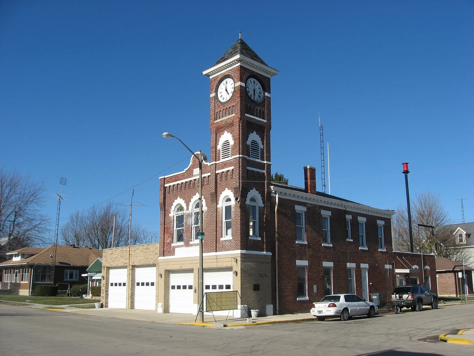
Front and eastern side of the Redkey Town Hall, located at 200 W. High Street in downtown Redkey, Indiana, United States. Built in 1905, it is part of the Redkey Historic District, a historic district that is listed on the National Register of Historic Places. – Nyttend, Public domain – Wikimedia Commons Redkey is located in Jay County. About 1,100 people live here (as of 2020). Between 2010 and 2020, the population declined from 1,353 to 1,100. The region is at 293 meters above sea level. The area covers about 2.4 square kilometers. There are about 73 streets in Redkey. The postal codes are 47373. The dialing code is 765. Redkey is human settlement in Jay County, Indiana, United States of America. Among other things, Redkey has schools.


 Public transit map Redkey Legend
  Bicycle map Redkey Legend
  Pedestrian map Redkey Legend