
Indiana State Fairgrounds in Indianapolis
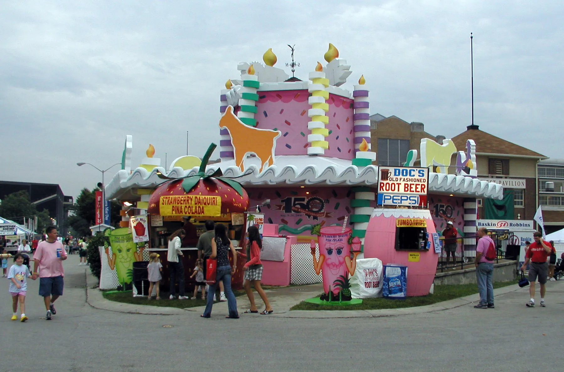
Indiana State Fairgrounds in Indianapolis is a recreation ground. Ⓦ.
- Land Use
- recreation ground
Image
Auto repair shops
Cafes
Convenience stores
Pubs
Bus stops
Beauty salons
Payment terminals
Pawn shops
Places of worship
Hair salons
Cell phone stores
Restaurants
Tourist information centers
Self storages
Car washes
Streets nearby
East 39th Street150 ft
Fall Creek Trail (39th Street)200 ft
East Fall Creek Parkway North DriveEveything that Grows needs water
350 ft
Fall Creek TrailFall Creek Greenway
500 ft
Fall Creek Parkway Trail0.2 mi
Sutherland Avenue0.2 mi
Kinnear Avenue0.2 mi
Trumbull Street0.2 mi
Woodland Avenue0.3 mi
Orchard Avenue0.3 mi
Schofield Avenue0.3 mi
East 37th StreetEmerson Branch Indianapolis-Marion County Public Library
0.3 mi
Hemlock Avenue0.4 mi
Fairfield Avenue0.4 mi
East 38th StreetEat To Live Cafe, Boost Mobile, 38th and Orchard OB, U-STOR Self Storage, China King II, Big City Grill & Lemonade, Kenny's Barber Shop, Blue Mind Coffee, Park, 38th Street & Park
0.4 mi
Coliseum Avenue0.4 mi
Amenities nearby
Tyler's Journey Childcare Ministry0.2 mi
Abandoned railways nearby
Nickel Plate Railroad0.2 mi
Apartment buildings nearby
Overlook at the Fairgrounds Apartments0.1 mi
Auto repair shops nearby
Stretch Towing & Recovery0.2 mi
Indy Auto Body and Frame Inc0.2 mi
Express Auto0.2 mi
Buildings nearby
Communications Building450 ft
Grand Hall0.3 mi
Van Westrum Corporation0.3 mi
Dairy Bar0.3 mi
Administration Building0.3 mi
DuPont Food Pavilion0.3 mi
Home and Family Arts Building0.4 mi
Exposition Hall0.4 mi
Ball State Ag/Hort Building0.4 mi
Poultry & Rabbit Building0.4 mi
Southwest Pavilion0.5 mi
Convenience stores nearby
Ricker's/BP0.2 mi
Event venues nearby
Marsh Blue Ribbon Pavilion0.1 mi
Champions Pavilion0.2 mi
South Pavilion0.3 mi
West Pavilion0.3 mi
Gas stations nearby
BP0.2 mi
Museums nearby
Hook's Drug Store0.4 mi
Places of worship nearby
Community Life Line Christian Church0.2 mi
Iglesia De Jesucristo Palabra Miel.0.2 mi
Healing & Deliverance Temple0.3 mi
Restaurants nearby
Taqueria Belinda0.2 mi
Sports fields nearby
Youth Arena0.2 mi
Stables nearby
Swine Barn400 ft
Stadiums nearby
Indiana State Fair Coliseum0.2 mi
Trails nearby
Track of Champions at the Indiana State Fairgrounds400 ft
Other nearby
Watson Park0.3 mi
| Year built | 1852 |
|---|---|
| Located in | Indianapolis |
| Country | United States |
| Website | http://www.in.gov/statefair/fair/index.html |
| Location | Indiana State Fairgrounds & Event Center |
Public transit map Indianapolis Legend
| Railway | |
| Bus | |
| Streetcar |
Bicycle map Indianapolis Legend
| Bike path | |
| Bike lane on roadway | |
| Cycling allowed on bus lane | |
| Bicycle street | |
| Open to cyclists | |
| Open to cyclists, good path | |
| Cycling prohibited | |
| Cobblestone |
| Long-distance bike route | (depending on scale) | |
| Long-distance bike route |
Pedestrian map Indianapolis Legend
| Path |
| Long-distance hiking trail | (depending on scale) | |
| Long-distance hiking trail | ||
| Pedestrians prohibited |