
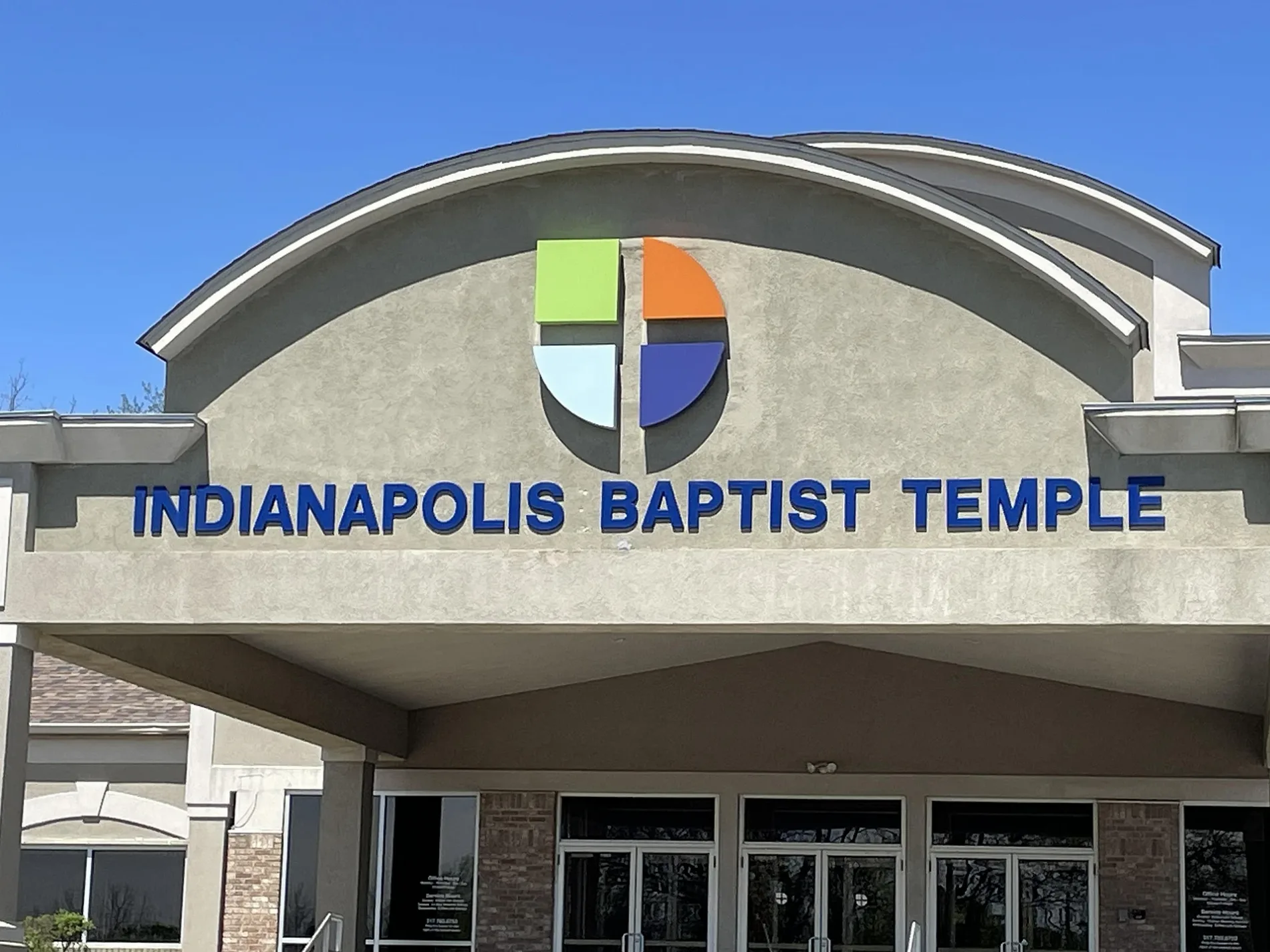
Indianapolis Baptist Temple
Indianapolis Baptist Temple in Indianapolis is a Church, East Southport Road 4002 (46237). It was built in 1950. Ⓦ.
- Amenity
- place of worship
- House Number
- 4002
- Street
- East Southport Road
- Website
- http://www.indianapolisbaptisttemple.com/
- Postal Code
- 46237
- Building Type
- building
Fast food restaurants
Clothing stores
Gas stations
Charging stations
Places of worship
Schools
Bus stops
Fire stations
Supermarkets
Bike shops
Restaurants
Convenience stores
Veterinary clinics
Streets nearby
Amigo Avenue0.1 mi
Mi Casa Avenue0.2 mi
Killdeer Drive0.2 mi
New Oak Lane0.3 mi
Dark Oak Lane0.3 mi
Grand Oak Avenue0.3 mi
Creek View Drive0.3 mi
Tarragon Court0.3 mi
McFarland BoulevardEl Toro Bravo South, Qdoba
0.3 mi
Grand Ritz Lane0.3 mi
South Sherman DriveSherman and Washington OB, Sherman and Washington IB, Sherman and Pleasant Run OB, Sherman and Pleasant Run IB, Lupita's Beauty Salon, Johana’s Furniture, El Mr Camaron, Las Mexicanas Super Market, Sherman and English OB
0.3 mi
Grand Oak Place0.3 mi
Tarragon Terrace0.3 mi
Gray RoadGray Road Baptist Church
0.3 mi
Moss Ridge Circle0.3 mi
Southport Crossings Way0.3 mi
Moss Ridge Court0.4 mi
Gray Pond Court0.4 mi
Southport Crossing Drive0.4 mi
Tarragon Lane0.4 mi
East Southport RoadMcDonald's, Walgreens, Ace Hardware, GUADALAJARA GRILL & CANTINA MEXICAN RESTAURANT, Jimmy John's, Panera Bread, Meijer, Meijer Express, VetCheck Pet Urgent Care Center, Gray Goat Bicycle Co. - South, Domino's, Southport, The Moca Nut Coffee Shop, Papa John's, Dunkin', Dental Care of Franklin Township, Starbucks, Great Clips
0.4 mi
Moss Creek Place0.4 mi
Pinetop Drive0.4 mi
Pineview Circle0.4 mi
Miracle Drive0.5 mi
Bay Leaf Circle0.5 mi
Saffron Drive0.5 mi
Sundance Drive0.5 mi
Nutmeg Court0.5 mi
Clove Court0.6 mi
Carolling Way0.6 mi
Cardamon Court0.6 mi
Tarragon Drive0.6 mi
Convenience stores nearby
Shell Shop0.2 mi
Fast food restaurants nearby
McDonald's350 ft
Burger King0.2 mi
Gas stations nearby
Circle K550 ft
Speedway0.1 mi
Shell0.2 mi
Hotels nearby
Comfort Suites0.1 mi
Hampton Inn Indianapolis-South0.3 mi
Baymont Indianapolis South0.3 mi
Country Inn & Suites, Indianapolis South, IN0.4 mi
Fairfield Inn Indianapolis South0.4 mi
Courtyard Indianapolis South0.5 mi
Motels nearby
Super 8 by Wyndham Indianapolis0.1 mi
Parks nearby
Gray Park0.2 mi
Restaurants nearby
Texas Roadhouse0.3 mi
Other nearby
Southport Heliport0.2 mi
| Year built | 1950 |
|---|---|
| Located in | Indiana |
| Country | United States |
Public transit map Indianapolis Legend
| Railway | |
| Bus | |
| Streetcar |
Bicycle map Indianapolis Legend
| Bike path | |
| Bike lane on roadway | |
| Cycling allowed on bus lane | |
| Bicycle street | |
| Open to cyclists | |
| Open to cyclists, good path | |
| Cycling prohibited | |
| Cobblestone |
| Long-distance bike route | (depending on scale) | |
| Long-distance bike route |
Pedestrian map Indianapolis Legend
| Path |
| Long-distance hiking trail | (depending on scale) | |
| Long-distance hiking trail | ||
| Pedestrians prohibited |