
Robert D Orr Plaza in Indianapolis
Robert D Orr Plaza in Indianapolis is an asphalted unclassified road and runs in an east-west direction starting from North West Street and ends in a cul-de-sac. Nearby there is an artwork. The nearest bus stop is Washington St & Senate Ave (about 300 m away).
- Road Type
- unclassified road
- Route
- east-west
Image
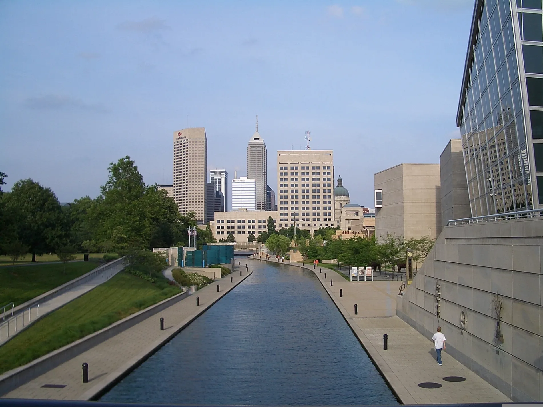
Artworks
Streets nearby
North Alig Street400 ft
West Washington StreetDreyer Motorsports, Shorty's Taller Mecanico, Washington and Dukane EB, Courtyard Indianapolis Downtown, SpringHill Suites Indianapolis Downtown, Bullseye Lounge, Reel One, Prestige Auto Sales, Maria Travel Services & ASOCS LLC, Youth Foundation Fountain, Starbucks, The Eagle's Nest, Speedway, CP IJ, Meineke, Marathon, Bridgeport, Shell, Rent-A-Center, Indy Pallet Solutions, Artistic Skin Designs Inc, Carplex, McDonald's, AAMCO Transmissions, Kidscape Learning Center, 21st Amendment Liquor, Mount Jackson, Washington and Sigsbee EB, Jimmy John's, Goodwill outlet, Hardee's, Bridgeport Nazarene Church, Washington and Harding EB, Washington/Harding, Ten Hands Social Bar & Eatery, BP, Conoco, S&S Furniture, Russ's Furniture & Appliances, Fairfield Inn & Suites Indianapolis Downtown
0.1 mi
West Wabash StreetDorothy Everett Professional Library, FedEx Ship Center, Lincoln Square Pancake House
0.1 mi
West Court StreetWhite River State Park Parking Garage, Speedway, Dippin' Dots, Castro's Pantry, Avis
0.1 mi
South Missouri StreetMissouri and South IB
0.2 mi
South Senate AvenueCP Kentucky Avenue
0.2 mi
North Senate AvenueIndiana Government Center Location C, Christopher Columbus, Time Flow, LITEBoxIN-- ISL, Lux Aeterna, Coal Miner
0.2 mi
Blackford StreetThe Tent, LD Building, Yellow Butterfly, Prime Commonality
0.2 mi
North West StreetSaint Bridgets School
0.3 mi
North California StreetLincoln Square Pancake House, Pizza Hut, City Barbeque, Circle Garden, Rhino Arch, Einstein Bros. Bagels
0.3 mi
Indianapolis Cultural TrailIMAX, Hong Kong Restaurant, Harmony Tea Shoppe, Tuggles Gifts & Goods, Higher Life, Fountain Square Liquors, Washington St & Illinois St, Tastings Wine bar & Bistro, Tony's, Forty Five Degrees, Tini, Subway, Bru Burger Bar, Brick Head 3, Ann Dancing, Commissary Barber & Barista, Needler's Pharmacy, Care/Don’t Care, Tappers Arcade Bar, Fletcher Place, Yats, Love Handle, Global Gifts, Goulding & Wood Pipe Organ Builders, Gordon's Milkshake Bar, Cafe Patachou, Washington St & Senate Ave, George Washington, Chipotle, Red's Classic Barber Shop Co., Five Guys, Crab 99, FlixBus Indianapolis, Dugout Bar, Calvin Fletcher Coffee, La Eskina, Amelia's Bread, Indiana and Blackford OB, Madam Walker Legacy Center, Indiana and West OB, T-Mobile, Mass Appeal, Meridian and St Clair OB, Indiana and Blake IB, Peyton Manning, Red Lion, El Arado, The HiFi, Lo-Fi Lounge Indy, Hasuno, Market Square Tap Room
0.3 mi
Schumacher Way0.3 mi
Geisendorff Street0.3 mi
South West StreetJW Marriott Indianapolis
0.3 mi
West Market StreetThe UPS Store, Thai Paradise, Jack's Donuts, McCormick & Schmick's, Hyde Park Prime Steakhouse
0.3 mi
Wabash Street0.3 mi
West New York StreetTorso Fragment, Entangled, Herron off New York Street, ChargePoint, Yoshi
0.3 mi
Old Washington StreetWheel Fun Rentals
0.3 mi
Washington AvenueThe Lawn at White River State Park
0.4 mi
White River Wapahani TrailNIFS, Flora Metallica
0.4 mi
West Maryland StreetVictory Field EB, Mama Ines Mexican Bakery, Western Union, PNC Bank, Little Caesars, Dollar General, Yard House, Seoul Fresh, Maryland St & Missouri St, Conner's Kitchen + Bar Indianapolis, Tesla Supercharger, Marathon Health at PNC Center, Subway, Steak 'n Shake
0.4 mi
Buildings nearby
Dr. Frank P. Lloyd, Sr. Visitor's Center0.3 mi
Pumphouse0.3 mi
Canals nearby
Central Indiana Canal0.4 mi
Commercial areas nearby
Indiana Government Center0.1 mi
Construction sites nearby
IU Indianapolis STEM Lab0.4 mi
Fire stations nearby
Indianapolis Fire Station 13500 ft
Hotels nearby
Marriott Indianapolis Downtown0.2 mi
The Westin Indianapolis0.2 mi
Libraries nearby
Indiana State Library0.1 mi
Museums nearby
Eiteljorg Museum300 ft
Indiana Historical Society0.1 mi
Indiana State Archives0.2 mi
NCAA Hall of Champions0.2 mi
Office buildings nearby
NCAA0.3 mi
Parking lots nearby
Indiana Government Center Parking Facility0.1 mi
Senate Avenue Parking Facility0.2 mi
Riverwalk Parking Garage - XP0.4 mi
Parks nearby
Canal WalkTotem
200 ft
Military Park0.1 mi
Hudnut Commons0.2 mi
White River State Park0.3 mi
Public buildings nearby
Indiana Government Center North300 ft
Railways nearby
CSX Indianapolis Terminal Subdivision0.4 mi
Stadiums nearby
Victory Field0.3 mi
Theaters nearby
Everwise Ampitheater0.3 mi
University buildings nearby
McKinney School of Law0.3 mi
Sidney & Lois Eskenazi Hall0.3 mi
Science Engineering Lab Building - Purdue in Indianapolis0.3 mi
Public transit map Indianapolis Legend
| Railway | |
| Bus | |
| Streetcar |
Bicycle map Indianapolis Legend
| Bike path | |
| Bike lane on roadway | |
| Cycling allowed on bus lane | |
| Bicycle street | |
| Open to cyclists | |
| Open to cyclists, good path | |
| Cycling prohibited | |
| Cobblestone |
| Long-distance bike route | (depending on scale) | |
| Long-distance bike route |
Pedestrian map Indianapolis Legend
| Path |
| Long-distance hiking trail | (depending on scale) | |
| Long-distance hiking trail | ||
| Pedestrians prohibited |