
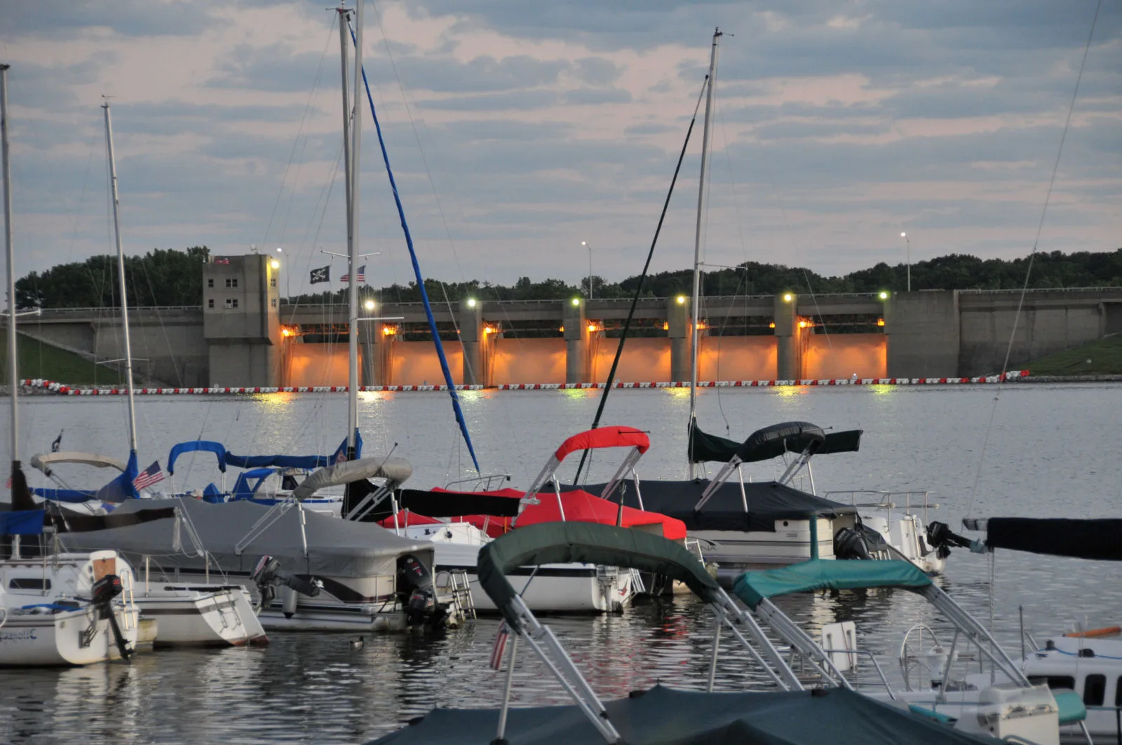
Eagle Creek Dam in Indianapolis
Eagle Creek Dam in Indianapolis is a dam.
- Waterway Type
- dam
Image
Schools
Tourist information centers
Dentist offices
Fast food restaurants
Bars
Bus stops
Fire stations
Hospitals
Restaurants
Community centers
Pubs
Banks
ATMs
Streets nearby
Windham Lake Terrace0.3 mi
Riverwood Drive0.3 mi
Dandy Trail0.3 mi
Windham Lake Way0.3 mi
Eagle Creek Greenway0.3 mi
Laureate Court North0.3 mi
Laureate Court South0.4 mi
Willowood Street0.4 mi
Windham Lake Circle0.4 mi
Waterwood Drive0.4 mi
Smallwood Lane West0.4 mi
Smallwood Lane East0.4 mi
Laurey Court0.4 mi
Windham Lake Place0.4 mi
Windham Lake Court0.4 mi
West 38th StreetSubway, 38th St & High School Rd, Woodstock, Thai Town Cuisine, Coinstar, 38th St & Lawndale Ave, Speedway, PLS Auto, 38th and Eagle Creek OB, 38th and Shore IB, North United Methodist Church, BP Shop
0.4 mi
Soaring Eagle Court0.4 mi
Waterwood Street0.4 mi
Windham Lake Road0.4 mi
Marabou Mills Place0.4 mi
Windham Lake Drive0.4 mi
Cordwood Lane0.5 mi
Trophy Club Drive North0.5 mi
Trophy Club Drive South0.5 mi
Reflections Drive0.5 mi
Insignia Court0.5 mi
Eagle Creek Trail0.5 mi
Oceanline Drive0.5 mi
Marabou Mills Lane0.5 mi
Marabou Mills Way0.5 mi
Maritime Drive0.5 mi
Statuette Court0.5 mi
Seaway Drive0.5 mi
Reflections Lane0.5 mi
Marabou Mills Drive0.6 mi
Magenta Lane0.6 mi
West 34th StreetBlue Shark, Captain Curt's Soul Food & Catering, 34th and Moller IB, Marathon, Speedway, Obadiah's Inc, Taqueria, 34th Street Phillips, The Run In Pub
0.6 mi
Saint Thomas Lane0.6 mi
Island Drive0.6 mi
Island Court0.6 mi
Freeport Lane0.6 mi
Island Way0.6 mi
Garden Grove Drive0.6 mi
Mesquite Court0.7 mi
Aruba Lane0.7 mi
Saint Thomas Boulevard0.7 mi
Bimini Lane0.7 mi
| Located in | Marion County |
|---|---|
| Country | United States |
 Public transit map Indianapolis Legend
| Railway | |
| Bus | |
| Streetcar |
 Bicycle map Indianapolis Legend
| Bike path | |
| Bike lane on roadway | |
| Cycling allowed on bus lane | |
| Bicycle street | |
| Open to cyclists | |
| Open to cyclists, good path | |
| Cycling prohibited | |
| Cobblestone |
| Long-distance bike route | (depending on scale) | |
| Long-distance bike route |
 Pedestrian map Indianapolis Legend
| Path |
| Long-distance hiking trail | (depending on scale) | |
| Long-distance hiking trail | ||
| Pedestrians prohibited |