
West 33rd Street in Indianapolis
West 33rd Street in Indianapolis is an asphalted residential street. It runs in an east-west direction starting from Boulevard Place and crosses Graceland Avenue, North Capitol Avenue, North Alley 175 West, North Kenwood Avenue and North Illinois Street and ends at North Meridian Street. West 33rd Street also exists in Dubois County, Fayette County, Grant County and Madison County.
- Road Type
- residential street
- Route
- east-west
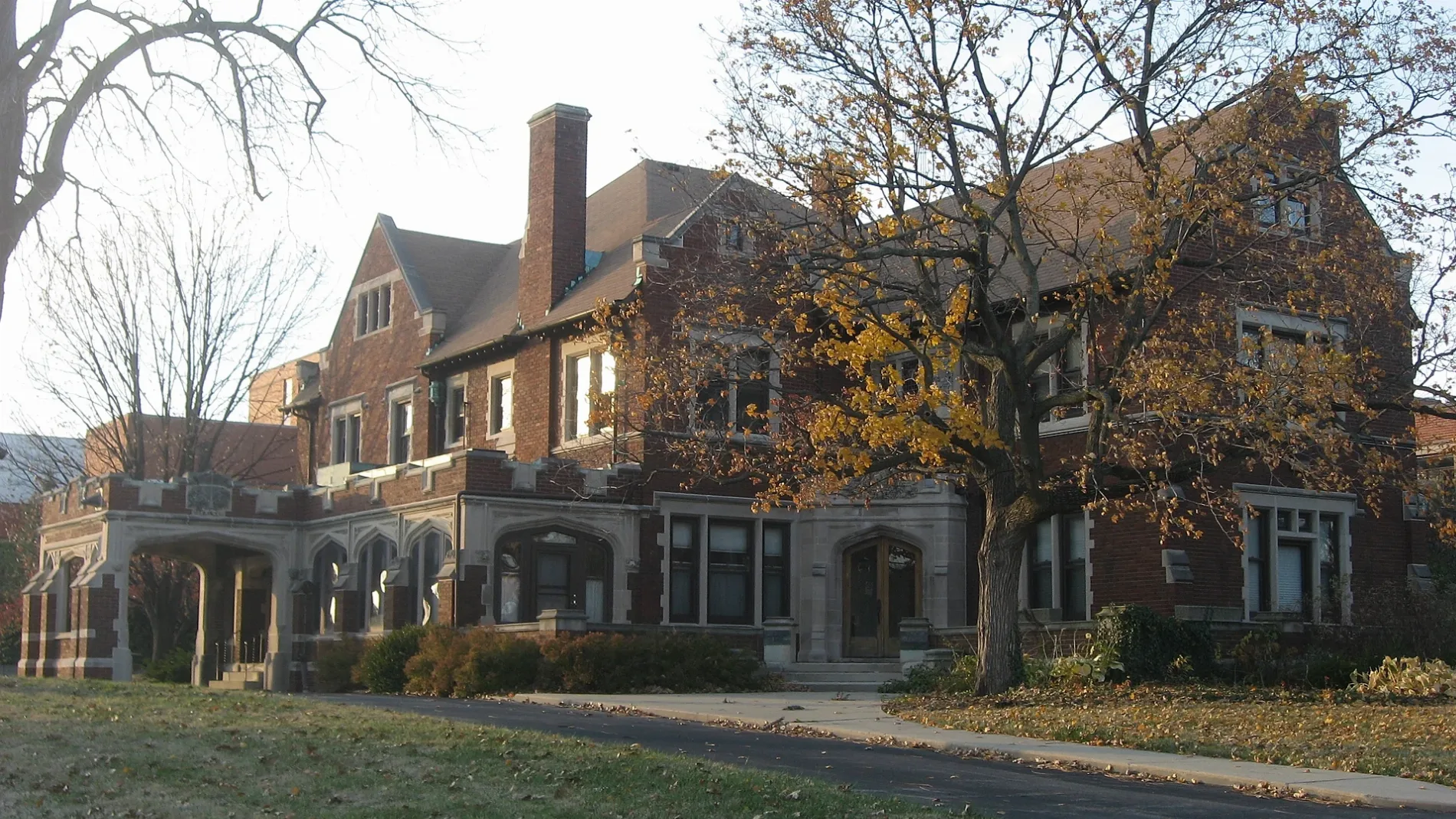
Image
Artworks
Libraries
Fast food restaurants
Cell phone stores
Tattoo studios
Bus stops
Restaurants
Bike shops
Pawn shops
Places of worship
Hair salons
Florists
Convenience stores
Bars
Streets nearby
North Capitol Avenue14th Street, IU Health, Care Center at the Tower, 9th Street, Brew Link Brewing Downtown, Musician's Repair and Sales, Statehouse, Vermont
50 ft
North Kenwood AvenueMeridian Highlands, Saint Thomas Aquinas School
350 ft
North Alley 175 West0.1 mi
West 32nd Street0.2 mi
North Illinois StreetBuca di Beppo, Giordano's Pizzeria, Adult Dinosaur Skeleton, Saint Thomas Aquinas Roman Catholic Church, Chase, Graeter's, The Secret Ingredient, Charles Mayer & Co., Kids Ink Children's Bookstore, Byrne's Grilled Pizza, Eckert & Ross Fine Art, The Flying Cupcake, Petite G Jewelers, Be The Boutique, Kincaid's Meat Market, Chalet, Animation Art Studio, Cheatham & Moore Barber Shop, Melody Inn, Indy Pawn, Dollar General, Third Dimension Worship Church, U-Haul, Tea's Me Community Cafe
0.2 mi
West 34th StreetBlue Shark, Captain Curt's Soul Food & Catering, 34th and Moller IB, Marathon, Speedway, Obadiah's Inc, Taqueria, 34th Street Phillips, The Run In Pub
0.2 mi
Graceland Avenue0.3 mi
West 35th StreetClifton
0.3 mi
East 34th StreetLord of Life Lutheran Church, New Jerusalem Baptist Church, Jones African Methodist Episcopal Tabernacle, Shadeland Baptist Church, Metro by T-Mobile, Faith Missionary Baptist Church, Shinning Star Baptist Church
0.3 mi
East 33rd StreetPods
0.3 mi
34th Street0.3 mi
West Alley 3050 North0.3 mi
Salem StreetMcDonald's
0.3 mi
Boulevard PlaceHighland Vicinity, Alphabet Angels CCM, Play Maker Barber Shop, Kurlykoils Hair Salong
0.3 mi
East 32nd StreetHonest Karl's Used Bikes And Cars, Mechanical Motion
0.3 mi
West 36th Street0.4 mi
East 36th Street0.5 mi
West 37th Street0.5 mi
North Meridian StreetPan, Meridian and Vermont OB, FedEx Office, Starbucks, Sondhi-Biggs-Hansen Orthodontics, CVS Pharmacy, Meridian and 16th OB, North Meridian Street Historic District, 18th Street, Walgreens, Meridian and 16th IB, Merchant's Garage, T-Mobile, Meridian/38th, 34th Street, Infozone Branch Indianapolis-Marion County Public Library, 30th/Museum, Fall Creek/Ivy Tech, KFC, KFC / Taco Bell, 22nd Street, KeyBank
0.5 mi
Apartment buildings nearby
Andrew's Gardens Apartments0.1 mi
Illinois Place Apartments0.2 mi
34 North Apartments0.3 mi
Ellis on Illinois Apartments0.3 mi
Meridian Towers Apartments0.5 mi
Bars nearby
Cosmo Knights0.1 mi
Buildings nearby
Reiss Structural and Architectural Products, LLC0.6 mi
Community centers nearby
Mt Zion Renaissance Center of Hope & Learning0.4 mi
Convenience stores nearby
Phillips 660.2 mi
Hotels nearby
Marblehead0.2 mi
Houses nearby
Dove Recovery House for Women0.3 mi
Museums nearby
Crown Hill Waiting Station0.2 mi
Parks nearby
Pocket Park500 ft
Mid-North Greenspace0.2 mi
Places of worship nearby
Coppin Chapel AME Church0.1 mi
Interdenominational Bible Way Church0.2 mi
New Life Worship0.2 mi
Sanctified Church of God0.2 mi
Jesus House-Prayer Temple0.3 mi
Trinity Episcopal Church0.3 mi
Mt. Zion Baptist Church0.3 mi
Christian Hope Missionary Baptist Church0.4 mi
Playgrounds nearby
School 60 Playground0.3 mi
Residential areas nearby
Magnolias Apartments0.2 mi
Laco Towne Club Apartments0.2 mi
School buildings nearby
William A Bell Elementary School 600.4 mi
[school: interoir courtyard]0.4 mi
Social facilities nearby
Mid-North Food Pantry, Inc.0.3 mi
Sports centers nearby
Riley Children's Health Sports Legends Experience0.3 mi
Other nearby
Meridian Park0.3 mi
 Public transit map Indianapolis Legend
| Railway | |
| Bus | |
| Streetcar |
 Bicycle map Indianapolis Legend
| Bike path | |
| Bike lane on roadway | |
| Cycling allowed on bus lane | |
| Bicycle street | |
| Open to cyclists | |
| Open to cyclists, good path | |
| Cycling prohibited | |
| Cobblestone |
| Long-distance bike route | (depending on scale) | |
| Long-distance bike route |
 Pedestrian map Indianapolis Legend
| Path |
| Long-distance hiking trail | (depending on scale) | |
| Long-distance hiking trail | ||
| Pedestrians prohibited |