
West Ohio Street in Indianapolis
West Ohio Street in Indianapolis is an asphalted residential street. It runs in an east-west direction starting from Quetico Street and crosses Blake Street and ends at Blackford Street. Nearby you can find among others 2 bicycle parking and a cafe. West Ohio Street also exists in Sullivan County, Orange County, Dubois County, Wells County and Noble County.
- Road Type
- residential street
- Speed Limit
- 25 mph
- Route
- east-west
Image
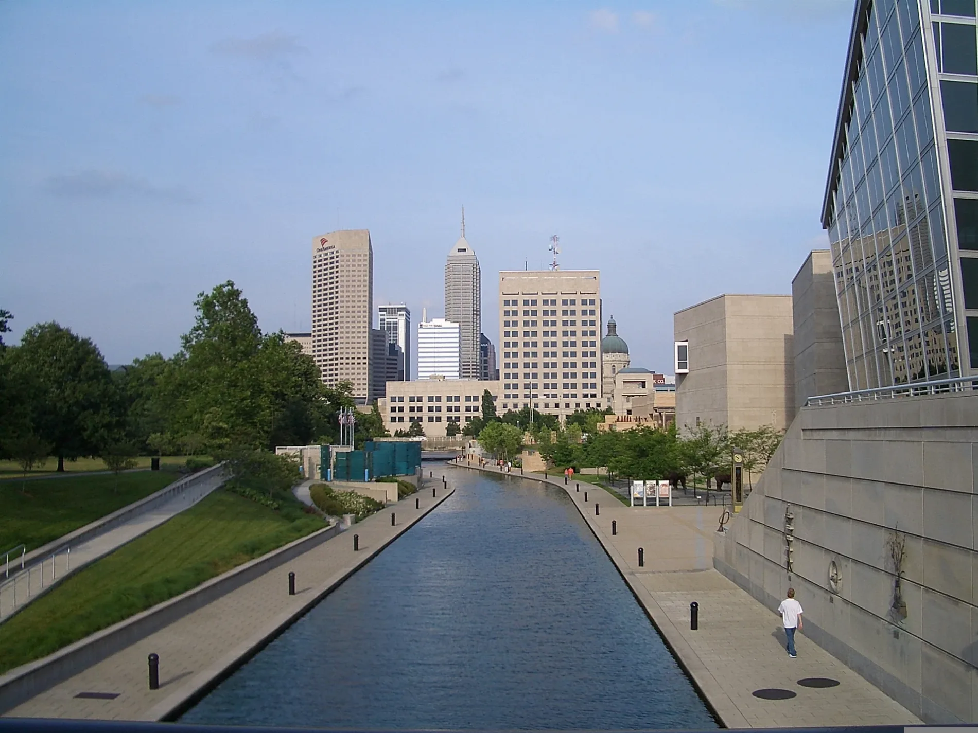
Streets nearby
Quetico Street400 ft
Wabash Street500 ft
West New York StreetTorso Fragment, Entangled, ChargePoint, Yoshi
0.1 mi
Geisendorff Street0.1 mi
West Market StreetThe UPS Store, Thai Paradise, Jack's Donuts, McCormick & Schmick's, Hyde Park Prime Steakhouse
0.1 mi
White River Wapahani TrailNIFS, The Lawn at White River State Park, Everwise Ampitheatre, Flora Metallica
0.2 mi
Indianapolis Cultural TrailIMAX, Hong Kong Restaurant, Harmony Tea Shoppe, Tuggles Gifts & Goods, Higher Life, Washington St & Illinois St, Tastings Wine bar & Bistro, Tony's, Forty Five Degrees, Tini, Subway, Bru Burger Bar, Brick Head 3, Ann Dancing, Commissary Barber & Barista, Needler's Pharmacy, Care/Don’t Care, Massachusetts and Edison OB, Tappers Arcade Bar, Fletcher Place, Yats, Love Handle, Global Gifts, Goulding & Wood Pipe Organ Builders, Gordon's Milkshake Bar, Cafe Patachou, Washington St & Senate Ave, George Washington, Chipotle, Red's Classic Barber Shop Co., Five Guys, FlixBus Indianapolis, Dugout Bar, Calvin Fletcher Coffee, La Eskina, Amelia's Bread, Madam Walker Legacy Center, Market Square Tap Room, T-Mobile, Mass Appeal, Meridian and St Clair OB, Peyton Manning, Red Lion, El Arado, The HiFi, Lo-Fi Lounge Indy, Hasuno
0.2 mi
Blackford StreetLD Building, Yellow Butterfly, Prime Commonality, The Tent
0.2 mi
West Vermont StreetCaribou Coffee, Chick-fil-A, El Toro Bravo, Hampton Inn Indianapolis Downtown IUPUI, Starbucks, Vermont St and Lynhurst Dr WB, Music Travel Consultants
0.2 mi
University BoulevardPanda Express, Ray Bradbury Center
0.3 mi
West North StreetCampus Post Office, Tower Garage, Chancellor's Restaurant, North Hall
0.4 mi
Barnhill DriveCopper Moon
0.4 mi
Hadley Drive0.4 mi
West Walnut Street0.4 mi
Blake StreetParlor Donuts, Sushi Boss, Blaze Pizza, Subway, Naf Naf Grill, Insomnia Cookies
0.5 mi
Canals nearby
Central Indiana Canal0.2 mi
Construction sites nearby
IU Indianapolis STEM Lab0.2 mi
Dormitories nearby
North Hall0.4 mi
Fitness centers nearby
National Institute For Fitness & Sport0.1 mi
Hospitals nearby
Simon Cancer Center0.4 mi
Libraries nearby
University Library0.2 mi
Office buildings nearby
NCAA0.2 mi
Parking lots nearby
Sport Complex Parking Garage - XD100 ft
Riverwalk Parking Garage - XP350 ft
Vermont Street Parking Garage0.3 mi
North Street Parking Garage0.3 mi
Barnhill Parking Garage0.3 mi
Blackford Parking Garage0.3 mi
Univeristy Hospital Parking Garage0.4 mi
Parks nearby
Taylor Courtyard0.2 mi
The Arbor Garden at IUPUI0.3 mi
Residential areas nearby
Lockefield Gardens0.4 mi
Stadiums nearby
Michael A. Carroll Track & Soccer Stadium0.2 mi
Carroll Track & Soccer Stadium0.2 mi
Swimming pools nearby
Physical Education & Natatorium400 ft
Universities nearby
Lecture Hall0.1 mi
University buildings nearby
Sidney & Lois Eskenazi Hall0.1 mi
Education & Social Work0.1 mi
University Hall0.2 mi
Business/SPEA0.2 mi
Science Engineering Lab Building - Purdue in Indianapolis0.2 mi
Joseph T. Taylor Hall0.2 mi
Cavanaugh Hall0.2 mi
School of Engineering and Technology0.2 mi
IUPUI Campus Center0.3 mi
Hine Hall0.3 mi
University Tower0.3 mi
Emerson Hall0.4 mi
Daly Student Center0.5 mi
Public transit map Indianapolis Legend
| Railway | |
| Bus | |
| Streetcar |
Bicycle map Indianapolis Legend
| Bike path | |
| Bike lane on roadway | |
| Cycling allowed on bus lane | |
| Bicycle street | |
| Open to cyclists | |
| Open to cyclists, good path | |
| Cycling prohibited | |
| Cobblestone |
| Long-distance bike route | (depending on scale) | |
| Long-distance bike route |
Pedestrian map Indianapolis Legend
| Path |
| Long-distance hiking trail | (depending on scale) | |
| Long-distance hiking trail | ||
| Pedestrians prohibited |