
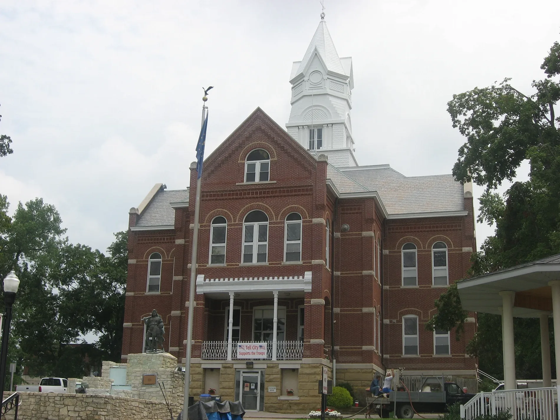
6th Street in Tell City, Indiana
6th Street in Tell City is a residential street. It runs in a north-south direction starting from Lafayette Street and crosses Schiller Street, Tell Street, Fulton Street, Jefferson Street, Mozart Street and Franklin Street and ends at Humboldt Street. 6th Street also exists in Dearborn County, Owen County, Greene County, Sullivan County and Bartholomew County.
- Road Type
- residential street
- Route
- north-south
Image
Schools
Fast food restaurants
Auto parts stores
Supermarkets
Department stores
Restaurants
Town halls
Hair salons
Pharmacies
Gas stations
Places of worship
Banks
Variety stores
Fire stations
Bars
Motels
Streets nearby
4th Street0.2 mi
Mozart StreetGerman American, Tell City, Tell City Fire Department
0.2 mi
5th Street0.2 mi
7th Street0.2 mi
Schiller Street0.3 mi
11th StreetNewman Elementary School, Bill & Dave's Smokin Pit
0.4 mi
9th Streetcity hall
0.4 mi
Main StreetThe Post, The Freezer, St. Paul Catholic Church
0.4 mi
Fulton Street0.4 mi
Lafayette StreetRich's Barber Shop
0.4 mi
Tell Street0.5 mi
Jefferson Street0.5 mi
Humboldt StreetPour Haus
0.5 mi
10th StreetSaint Marys Chapel, Nobles
0.6 mi
Ruben Street0.6 mi
Herrman Street0.7 mi
15th Street0.7 mi
13th StreetChuckles
0.7 mi
Franklin StreetFranklin School
0.7 mi
Pestalozzi Street0.7 mi
Payne StreetChicago Pizza, Family Dollar, Pint Haus
0.7 mi
16th Street0.8 mi
Guttenburg Street0.8 mi
14th StreetLong John Silver's
0.8 mi
Washington StreetBumper to Bumper
0.8 mi
Blum Street0.8 mi
12th StreetFifth Third Bank, CVS Pharmacy
0.9 mi
Guttenberg Street0.9 mi
Boundary Way1.0 mi
Buildings nearby
Tell City High School0.5 mi
Community centers nearby
William Tell Senior Citizen Center0.6 mi
Disused railways nearby
Hoosier Southern Railroad0.2 mi
Dog parks nearby
Tell City Dog Park0.7 mi
Fast food restaurants nearby
Papa John's1.0 mi
Industrial areas nearby
Century Aluminium0.7 mi
Parks nearby
Sunset Park0.6 mi
Dennis Kress Memorial Park0.6 mi
Hagedorn Park0.7 mi
Roy Fenn Park & Soccer Complex0.9 mi
Playgrounds nearby
Dennis Kress Park Playground0.6 mi
Roy Fenn Park Playground0.8 mi
Sports fields nearby
Kress Park T-Ball Field0.6 mi
Kress Park Major League Field0.6 mi
Kress Park Little League Field0.6 mi
Marching Band Practice Field0.7 mi
Hagedorn Park Basketball Court0.7 mi
Legion Field0.8 mi
Frank Clemens Field0.8 mi
Other nearby
Tell City Substation0.2 mi
Public transit map Tell City Legend
| Railway | |
| Bus | |
| Streetcar |
Bicycle map Tell City Legend
| Bike path | |
| Bike lane on roadway | |
| Cycling allowed on bus lane | |
| Bicycle street | |
| Open to cyclists | |
| Open to cyclists, good path | |
| Cycling prohibited | |
| Cobblestone |
| Long-distance bike route | (depending on scale) | |
| Long-distance bike route |
Pedestrian map Tell City Legend
| Path |
| Long-distance hiking trail | (depending on scale) | |
| Long-distance hiking trail | ||
| Pedestrians prohibited |