
4th Street in Grandview, Indiana
4th Street in Grandview is a residential street. It runs in an east-west direction starting from West 4th Street and crosses State Street, Sycamore Street, Vine Street, Walnut Street, Church Street, Locust Street and Main Street and ends at Forsythe Street. Nearby there is among others a library. 4th Street also exists in Gentryville.
- Road Type
- residential street
- Route
- east-west
Image
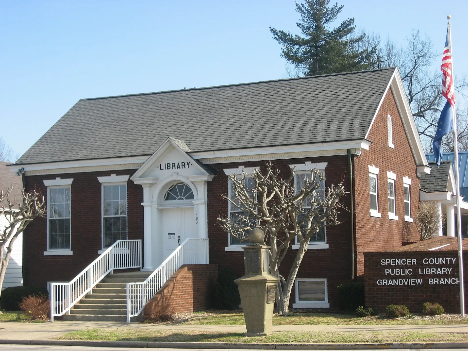
Libraries
Streets nearby
Vine Street450 ft
Locust Street450 ft
West 5th Street0.1 mi
3rd Street0.2 mi
Sycamore Street0.2 mi
West 4th Street0.2 mi
Forsythe Street0.2 mi
West 3rd Street0.2 mi
Amber Drive0.2 mi
2nd Street0.2 mi
West 8th Street0.3 mi
6th Street0.3 mi
East Water Street0.3 mi
West Main Street0.3 mi
Grand Avenue0.3 mi
Walnut Street0.3 mi
9th Street0.3 mi
8th Street0.3 mi
Magnolia Lane0.3 mi
Amber Lane0.4 mi
Birch Drive0.4 mi
Village Road0.4 mi
Main StreetLincoln Locksmithing, Town of Grandview
0.4 mi
Short Tenth0.4 mi
State Street0.4 mi
Cedar Drive0.4 mi
Rose Lane0.4 mi
11th Street0.5 mi
Dogwood Drive0.5 mi
Church Street0.5 mi
County Road 350 East0.5 mi
12th Street0.5 mi
North Evergreen Drive0.5 mi
Evergreen Drive0.5 mi
7th Street0.6 mi
North Forest Drive0.6 mi
Main Avenue0.6 mi
Melody Lane0.6 mi
Chautaqua0.6 mi
County Road 460 East0.8 mi
County Road 400 North0.8 mi
North County Road 450 East0.9 mi
East County Road 400 North0.9 mi
County Road 300 North1.0 mi
North County Road 300 East1.0 mi
Brownfields nearby
Glenmore Landing Field0.7 mi
Parks nearby
Spencer County Veterans Memorial0.2 mi
Grandview Park0.2 mi
Old Mill Park0.3 mi
 Public transit map Grandview Legend
| Railway | |
| Bus | |
| Streetcar |
 Bicycle map Grandview Legend
| Bike path | |
| Bike lane on roadway | |
| Cycling allowed on bus lane | |
| Bicycle street | |
| Open to cyclists | |
| Open to cyclists, good path | |
| Cycling prohibited | |
| Cobblestone |
| Long-distance bike route | (depending on scale) | |
| Long-distance bike route |
 Pedestrian map Grandview Legend
| Path |
| Long-distance hiking trail | (depending on scale) | |
| Long-distance hiking trail | ||
| Pedestrians prohibited |