
Garvin Park in Evansville, Indiana
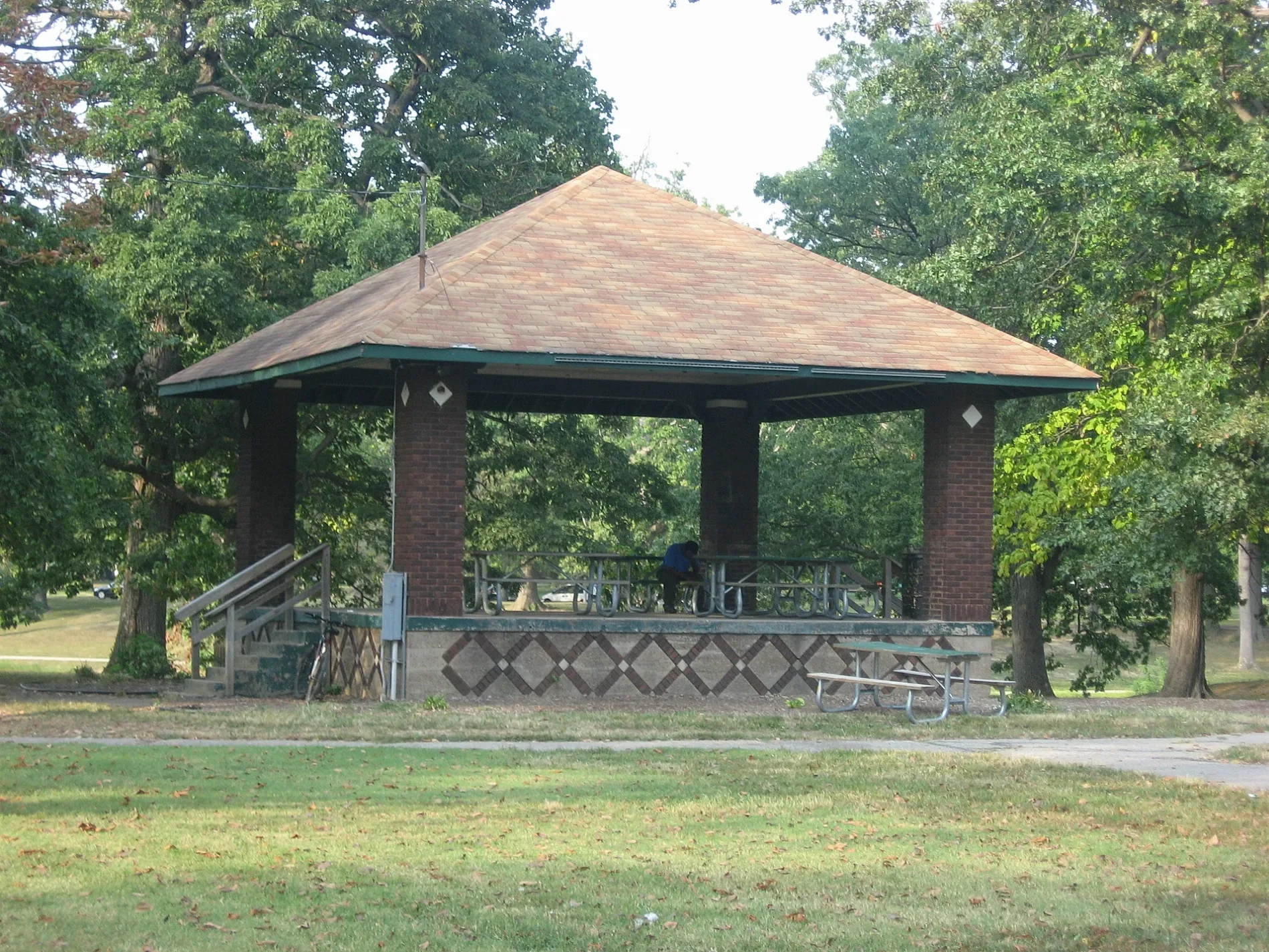
Garvin Park in Evansville is a park. Garvin Park is located near Wedeking Avenue. Ⓦ.
- Leisure
- park
Image
Places of worship
Restaurants
Supermarkets
Social facilities
Hardware stores
Schools
Medical supply stores
- Tri-State Mobility - Advanced Medical Equipment Services (opening hours: Mon–Fri 9:30–17:30; Sat–Sun closed) at East Diamond Avenue 401 (47711). Tri-State Mobility is a veteran-owned Evansville tri-state mobility and advanced medical equipment supplier. We are honored to serve our veterans, seniors and the disabled with superior service, great quality and affordable pricing on mobility scooters. – approx. 0.3 mi.
Gas stations
Banks
Mailboxes
Motels
Fast food restaurants
Post offices
Veterinary clinics
Hotels
Department stores
Video game stores
Streets nearby
West Diamond Avenue500 ft
North Main StreetDiLegge's Italian Cuisine
0.1 mi
Wedeking AvenueSaint Theresa School
0.1 mi
North Heidelbach Avenue0.2 mi
Negley Avenue0.2 mi
East Diamond AvenueShell, Tri-State Mobility - Advanced Medical Equipment Services
0.2 mi
Don Mattingly Way0.3 mi
North Baker Avenue0.3 mi
West Parkland Avenue0.3 mi
North Governor Avenue0.3 mi
Bob Griese Pass0.3 mi
Keck Avenue0.3 mi
East Parkland Avenue0.3 mi
Read Street0.4 mi
North Elsas Avenue0.4 mi
Herndon Drive0.4 mi
North Governor Street0.4 mi
North Elliott Street0.4 mi
Maxwell Avenue0.4 mi
West Olmstead Avenue0.4 mi
Pigeon Creek GreenwayMerchand Bridge Overlook, Lamasco Park Trailhead, Shirley James Gateway Plaza & Trailhead
0.4 mi
East Olmstead Avenue0.4 mi
North Elliot Street0.4 mi
North Lafayette Avenue0.4 mi
Stanley Avenue0.4 mi
Richardt Avenue0.4 mi
Reis Avenue0.4 mi
Cross Valley CircleDiamond Valley Station
0.4 mi
North Garvin Street0.4 mi
East Morgan AvenueRally's
0.4 mi
West Morgan Avenue0.5 mi
Millner Industrial Drive0.5 mi
Enlow Avenue0.5 mi
Sherman Street0.5 mi
East Eichel Avenue0.5 mi
Stringtown RoadStringtown
0.5 mi
West Eichel Avenue0.5 mi
West Tennessee Street0.6 mi
Harriet Street0.6 mi
East Tennessee Street0.6 mi
West Florida Street0.6 mi
Animal shelters nearby
Vanderburgh County Humane Society0.5 mi
Bars nearby
Doc's0.7 mi
Buildings nearby
Mel-Kay Electric Company0.6 mi
Dog parks nearby
Central Bark Dog Park0.3 mi
Restaurants nearby
Hickory Pit Stop BBQ0.5 mi
Stadiums nearby
Bosse Field0.4 mi
Other nearby
Garvin Substation0.5 mi
Read St. Substation0.6 mi
| Heritage designation | National Register of Historic Places listed place |
|---|---|
| Located in | Indiana |
| Country | United States |
 Public transit map Evansville Legend
| Railway | |
| Bus | |
| Streetcar |
 Bicycle map Evansville Legend
| Bike path | |
| Bike lane on roadway | |
| Cycling allowed on bus lane | |
| Bicycle street | |
| Open to cyclists | |
| Open to cyclists, good path | |
| Cycling prohibited | |
| Cobblestone |
| Long-distance bike route | (depending on scale) | |
| Long-distance bike route |
 Pedestrian map Evansville Legend
| Path |
| Long-distance hiking trail | (depending on scale) | |
| Long-distance hiking trail | ||
| Pedestrians prohibited |