
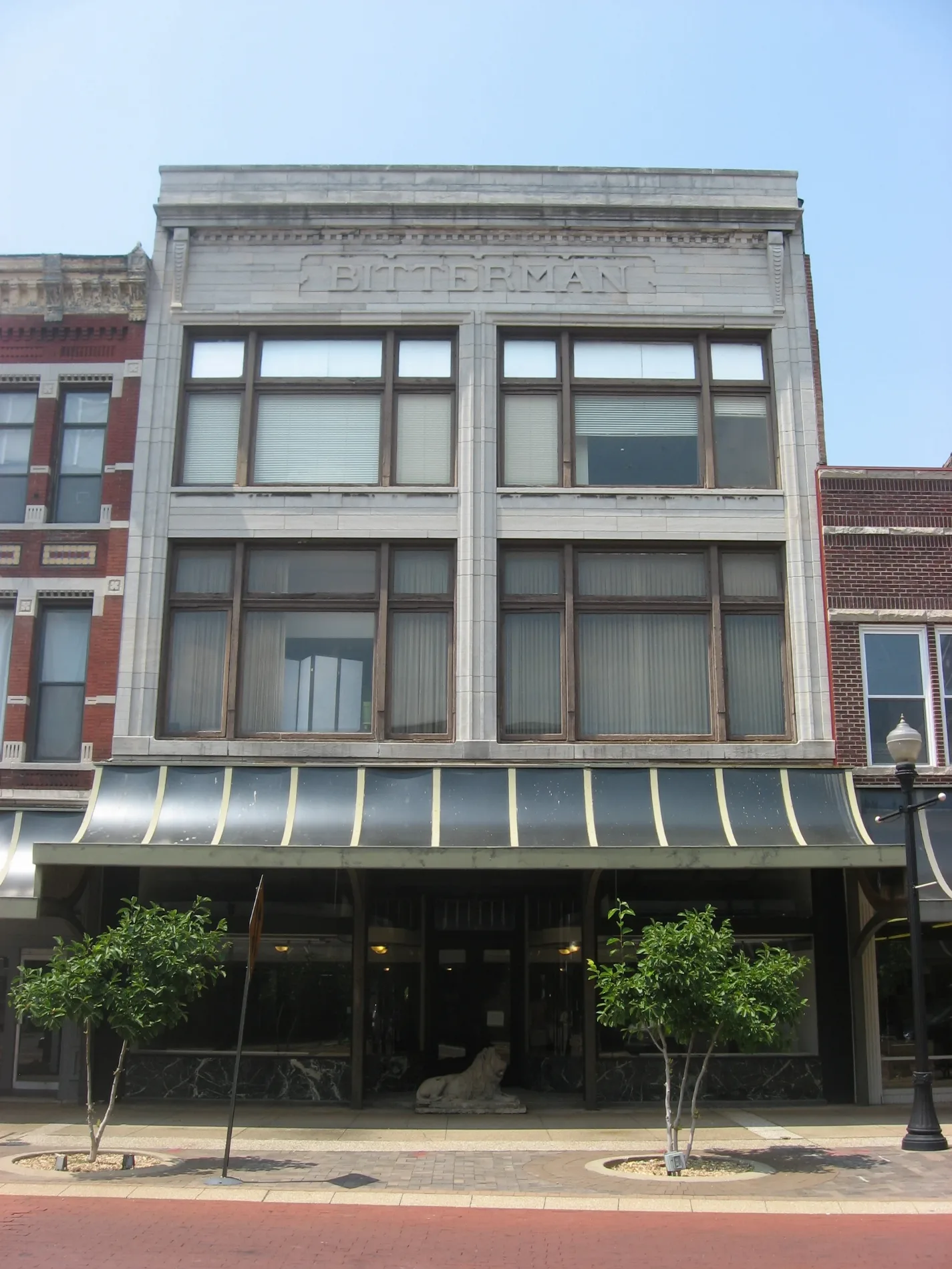
Northwest 1st Street in Evansville, Indiana
Northwest 1st Street in Evansville is a two-lane, asphalted, lit residential street. It runs in a southeast-northwest direction starting from Vine Street and crosses Sycamore Street and ends at Main Street. Northwest 1st Street also exists in Greene County, Daviess County, Martin County, Orange County and Wayne County.
- Road Type
- residential street
- Lanes
- 2
- Route
- southeast-northwest
Image
Schools
Bakeries
Bars
Ice cream shops
Theaters
Post offices
Restaurants
Tourist information centers
Hair salons
Cafes
Banks
Beauty salons
Town halls
Studios
Tattoo studios
Hospitals
Streets nearby
Sycamore StreetMajor Munch, Fifth Third Bank, United States Post Office
200 ft
Main StreetOld National Bank, Peephole Bar and Grill, Piece of Cake, COMFORT, Signature School, Milanos Italian Cuisine, Gangnam Korean Cuisine
350 ft
Northwest Riverside Drive400 ft
Vine StreetThe Short Lived Canal
450 ft
Northwest 2nd Street450 ft
Southeast 2nd StreetLittle Free Library
0.1 mi
Locust Street0.1 mi
Northwest 3rd Street0.1 mi
Vine St Bike Path0.2 mi
Southeast Riverside Drive0.2 mi
Court Street0.2 mi
Southeast 3rd StreetEvansville
0.2 mi
Walnut Street0.2 mi
Northwest 4th StreetWired Coffee House
0.2 mi
Southeast 4th StreetSamuel's, Jaya's Authentic Foods
0.3 mi
Chestnut StreetWTSN-CD
0.3 mi
Northwest 5th StreetLic's Deli & Ice Cream
0.3 mi
Southeast 5th Street0.3 mi
Southeast 1st StreetZola Beauty Bar, Nice Color Salon, Slick Kitty Wax Studio, Addison Edge Cosmetics
0.4 mi
Pigeon Creek GreenwayMerchand Bridge Overlook, Lamasco Park Trailhead, Shirley James Gateway Plaza & Trailhead
0.4 mi
Cherry StreetSelect Specialty Hospital - Evansville
0.4 mi
Oak Street0.4 mi
Attractions nearby
Four Freedom's Monument0.3 mi
Banks nearby
Old National Bank0.1 mi
German American0.2 mi
Buildings nearby
Old Post Office Place350 ft
CenterPoint Energy0.1 mi
Old Fellwock Auto Company0.2 mi
Just Rennie's Catering0.3 mi
Hodge Structural Engineers0.3 mi
Clark Security0.3 mi
St. Paul's Episcopal Church Parish Office0.3 mi
George Barnett, Injury Lawyer0.4 mi
Commercial buildings nearby
Riverside Capital Management Group0.3 mi
Blue Fern Collective0.3 mi
Courthouses nearby
Old County Courthouse0.2 mi
Hotels nearby
Holiday Inn Express & Suites Evansville Downtown0.2 mi
Hyatt Place Evansville / Downtown0.3 mi
Casa Finale0.4 mi
Museums nearby
Reitz Home Museum0.3 mi
Children's Museum of Evansville0.3 mi
Parks nearby
4th and Main Park0.2 mi
Places of worship nearby
St Paul's Episcopal Church0.3 mi
Restaurants nearby
Madeleine's Fusion Restaurant0.4 mi
Retail buildings nearby
Bru Burger0.1 mi
Schools nearby
Robert L. Koch II Science Center0.3 mi
Studios nearby
CBS 44400 ft
Ticket offices nearby
Hadi Shrine Circus Ticket Office0.2 mi
Vacation apartments nearby
300 Riverside0.3 mi
Public transit map Evansville Legend
| Railway | |
| Bus | |
| Streetcar |
Bicycle map Evansville Legend
| Bike path | |
| Bike lane on roadway | |
| Cycling allowed on bus lane | |
| Bicycle street | |
| Open to cyclists | |
| Open to cyclists, good path | |
| Cycling prohibited | |
| Cobblestone |
| Long-distance bike route | (depending on scale) | |
| Long-distance bike route |
Pedestrian map Evansville Legend
| Path |
| Long-distance hiking trail | (depending on scale) | |
| Long-distance hiking trail | ||
| Pedestrians prohibited |