
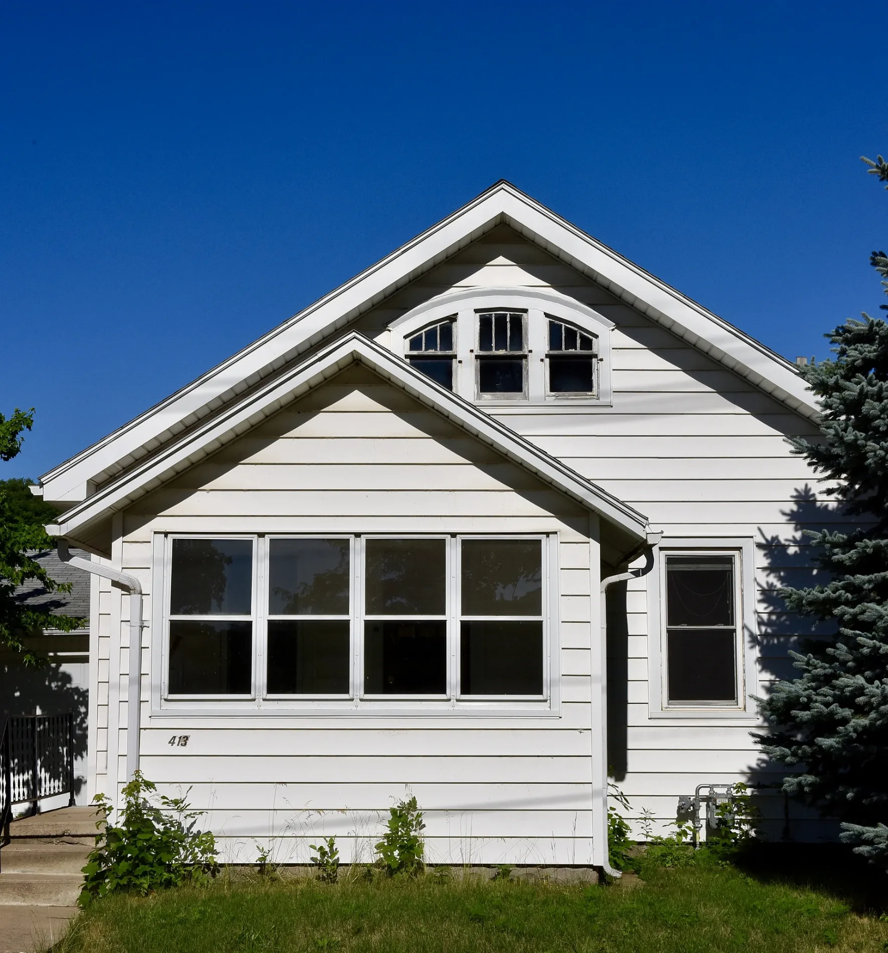
1st Street Northwest in Waverly, Iowa
1st Street Northwest in Waverly is a two-lane, concrete secondary road. It runs in a north-south direction starting from Adams Parkway and crosses 6th Avenue Northwest, 5th Avenue Northwest, 4th Avenue Northwest, 3rd Avenue Northwest, 1st Avenue Northwest and West Bremer Avenue and ends at 1st Street Southwest. 1st Street Northwest is also known as County Highway V14. This street is part of the highway "V14".
- Alternate Name
- County Highway V14
- Road Type
- secondary road
- Lanes
- 2
- Speed Limit
- 25 mph
- Route
- north-south
Image
Places of worship
Schools
Pubs
Shoe stores
Movie theaters
Bars
Cafes
Beauty salons
Supermarkets
Pharmacies
Pet stores
Museums
- Bremer County Historical Society Museum (Web) – approx. 0.4 mi.
Restaurants
Tattoo studios
Town halls
Copy shops
Ice cream shops
Sewing supply stores
Streets nearby
Waverly Rail TrailWaverly Police Department
300 ft
2nd Street NorthwestSaint Pauls School, Saint Pauls Lutheran Church, Fareway
500 ft
6th Avenue Northwest0.1 mi
3rd Street Northwest0.1 mi
4th Street Northwest0.2 mi
5th Street NorthwestKwik Star
0.2 mi
5th Avenue Northwest0.3 mi
2nd Avenue Northeast0.3 mi
3rd Avenue NorthwestCornerstone Church of the Nazarene
0.3 mi
9th Avenue Northwest0.3 mi
7th Avenue Northwest0.3 mi
6th Street Northwest0.3 mi
3rd Street Northeast0.3 mi
1st Street Northeast0.3 mi
2nd Street Northeast0.3 mi
1st Avenue NorthwestMcElroy Communication Arts Center
0.4 mi
3rd Avenue Northeast0.4 mi
4th Street Northeast0.4 mi
West Bremer AvenueBremer County Historical Society Museum, Wash House, Waverly, Vineyard Community Church, Walgreens, Bremer Brewng Company, Get Roasted Coffee Company, Thinkwell, Scooter's Coffee, New East China, Twisted Fate tattoo, The printery, Z's Pizza and Diner, Trinity United Methodist Church, Waverly Public Library, Casey's, First Bank, Shear Image Salon, Dillavou Oil Company, A to Z Auto Service Center, Waverly Child Care and Pre-School, Taco John's, Trinkets and Togs, Meyer Pharmacy, Grumpy's Roadhouse, Joe's Car Wash, Joe's KnightHawk
0.4 mi
4th Avenue Northwest0.4 mi
2nd Street Southeast0.4 mi
Adams Parkway0.4 mi
Wartburg Boulevard0.4 mi
1st Avenue NortheastBremer County Courthouse, Bremer County Sheriffs Office, Waverly City Hall, The Root Spa
0.4 mi
1st Avenue SouthwestFirst Baptist Church, Dairy Queen
0.4 mi
1st Street SoutheastThe Wooden Foot
0.4 mi
2nd Avenue Northwest0.4 mi
8th Street Northwest0.4 mi
10th Avenue Northwest0.4 mi
8th Avenue Northwest0.4 mi
5th Street Northeast0.5 mi
Ashbury Drive0.5 mi
Buildings nearby
Saint Pauls Lutheran Church0.2 mi
Mannie Holmes Cultural Diversity Center0.4 mi
Waverly Area Veterans Post (WAVP)0.4 mi
Diers House0.4 mi
Bremer County Courthouse0.5 mi
Dormitories nearby
Löhe Hall0.4 mi
Grossman Hall0.4 mi
Slife Hall0.5 mi
Hotels nearby
Cobblestone Inn & Suites0.4 mi
Industrial areas nearby
South Power Plant0.4 mi
Industrial buildings nearby
Nestle Plant0.2 mi
Outdoor stores nearby
Crawdaddy Outdoors0.4 mi
Parks nearby
Kohlmann Park0.1 mi
Knott's Playlot0.3 mi
Police stations nearby
Bremer County-Waverly Law Center0.4 mi
Supermarkets nearby
Fareway0.3 mi
Weirs nearby
Waverly Milldam0.3 mi
Public transit map Waverly Legend
| Railway | |
| Bus | |
| Streetcar |
Bicycle map Waverly Legend
| Bike path | |
| Bike lane on roadway | |
| Cycling allowed on bus lane | |
| Bicycle street | |
| Open to cyclists | |
| Open to cyclists, good path | |
| Cycling prohibited | |
| Cobblestone |
| Long-distance bike route | (depending on scale) | |
| Long-distance bike route |
Pedestrian map Waverly Legend
| Path |
| Long-distance hiking trail | (depending on scale) | |
| Long-distance hiking trail | ||
| Pedestrians prohibited |