
5th Street Northwest in Waverly, Iowa
5th Street Northwest in Waverly is a residential street. It runs in a north-south direction and crosses 10th Avenue Northwest, 7th Avenue Northwest, 6th Avenue Northwest, 5th Avenue Northwest, 4th Avenue Northwest, 3rd Avenue Northwest, 2nd Avenue Northwest, 1st Avenue Northwest and West Bremer Avenue and ends at 5th Street Southwest, while the other end is a cul-de-sac. Nearby there is a convenience store. 5th Street Northwest also exists in Dubuque County, O'Brien County, Plymouth County, Polk County and Sioux County.
- Road Type
- residential street
- Speed Limit
- 25 mph
- Route
- north-south
Image
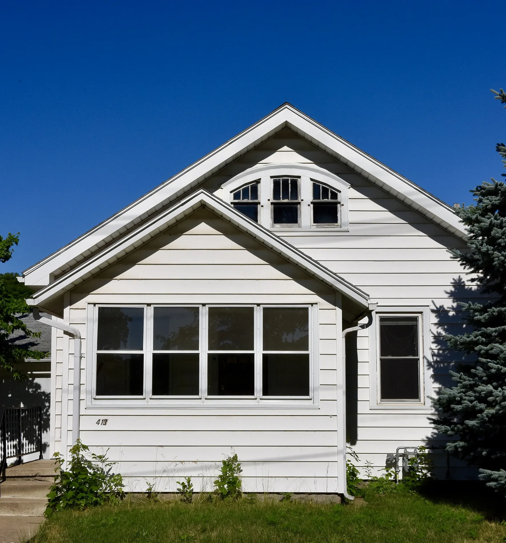
Convenience stores
Streets nearby
5th Avenue Northwest50 ft
6th Street Northwest400 ft
3rd Avenue NorthwestCornerstone Church of the Nazarene
0.1 mi
3rd Street Northwest0.1 mi
7th Avenue Northwest0.1 mi
4th Avenue Northwest0.1 mi
4th Street Northwest0.1 mi
6th Avenue Northwest0.1 mi
8th Street Northwest0.2 mi
2nd Street NorthwestSaint Pauls School, Saint Pauls Lutheran Church, Fareway
0.2 mi
Wartburg Boulevard0.2 mi
2nd Avenue Northwest0.2 mi
8th Avenue Northwest0.2 mi
1st Street Northwest0.2 mi
Waverly Rail TrailWaverly Police Department
0.3 mi
9th Avenue Northwest0.3 mi
10th Avenue Northwest0.3 mi
Buildings nearby
Mannie Holmes Cultural Diversity Center0.2 mi
Diers House0.3 mi
Dormitories nearby
Löhe Hall0.2 mi
Grossman Hall0.2 mi
Slife Hall0.2 mi
Vollmer Hall0.2 mi
North Hall0.2 mi
Dubuque Haus0.2 mi
The Residence0.2 mi
South Hall0.2 mi
St. Sebald Haus0.2 mi
Galena Haus0.2 mi
Hebron Hall0.2 mi
Mendota Haus0.2 mi
Saginaw Haus0.3 mi
Schmidt Manor0.3 mi
Ernst Manor0.3 mi
Cornils Manor0.3 mi
Chellevold Manor0.3 mi
Clinton Hall0.3 mi
Founders Hall0.3 mi
Wiederanders Manor0.3 mi
Engelbrecht Manor0.3 mi
Ottersberg Manor0.3 mi
Parks nearby
Knott's Playlot450 ft
Juhl Park0.4 mi
Residential areas nearby
Knights Village0.3 mi
Afton Manors0.3 mi
Technical colleges nearby
Saemann Student Center0.2 mi
Old Main0.3 mi
Luther Hall0.3 mi
Whitehouse Business Center0.3 mi
 Public transit map Waverly Legend
| Railway | |
| Bus | |
| Streetcar |
 Bicycle map Waverly Legend
| Bike path | |
| Bike lane on roadway | |
| Cycling allowed on bus lane | |
| Bicycle street | |
| Open to cyclists | |
| Open to cyclists, good path | |
| Cycling prohibited | |
| Cobblestone |
| Long-distance bike route | (depending on scale) | |
| Long-distance bike route |
 Pedestrian map Waverly Legend
| Path |
| Long-distance hiking trail | (depending on scale) | |
| Long-distance hiking trail | ||
| Pedestrians prohibited |