
Osage, Iowa
Osage is located in Osage Township. About 3,627 people live here. Between 2010 and 2020, the population grew from 3,619 to 3,627. The region is at 360 meters above sea level. The area covers about 5.9 square kilometers. There are about 110 streets in Osage. The ZIP codes are 50461. The dialing code is 641. Osage is city in Mitchell County, Iowa, United States. Among other things, Osage has restaurants, cafés, schools, banks and hair Salons. More information at www.osageia.govoffice3.com.
Osage – Facts
| Population | 3627 |
|---|---|
| Area | 5.9 km² |
| Elevation | 360 m |
| Located in | Mitchell County |
| Postal code | 50461 |
| Country | United States |
| Official name | Osage |
| Website | http://www.osageia.govoffice3.com/ |
Data source: Wikidata (CC0)
Photos from Osage
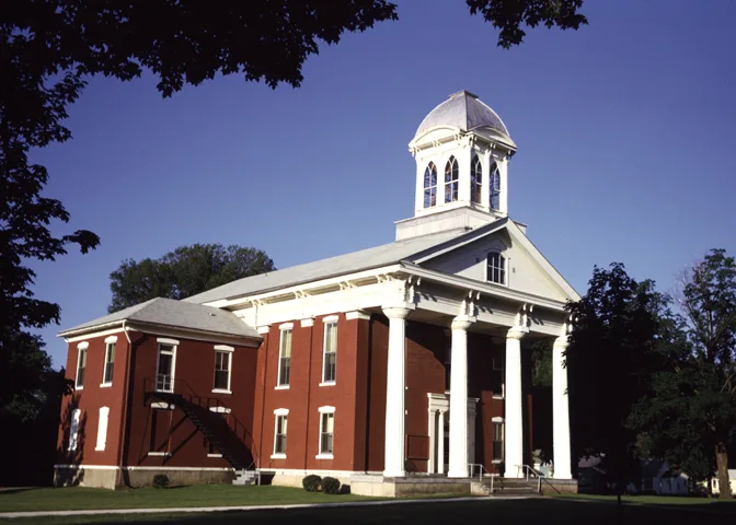
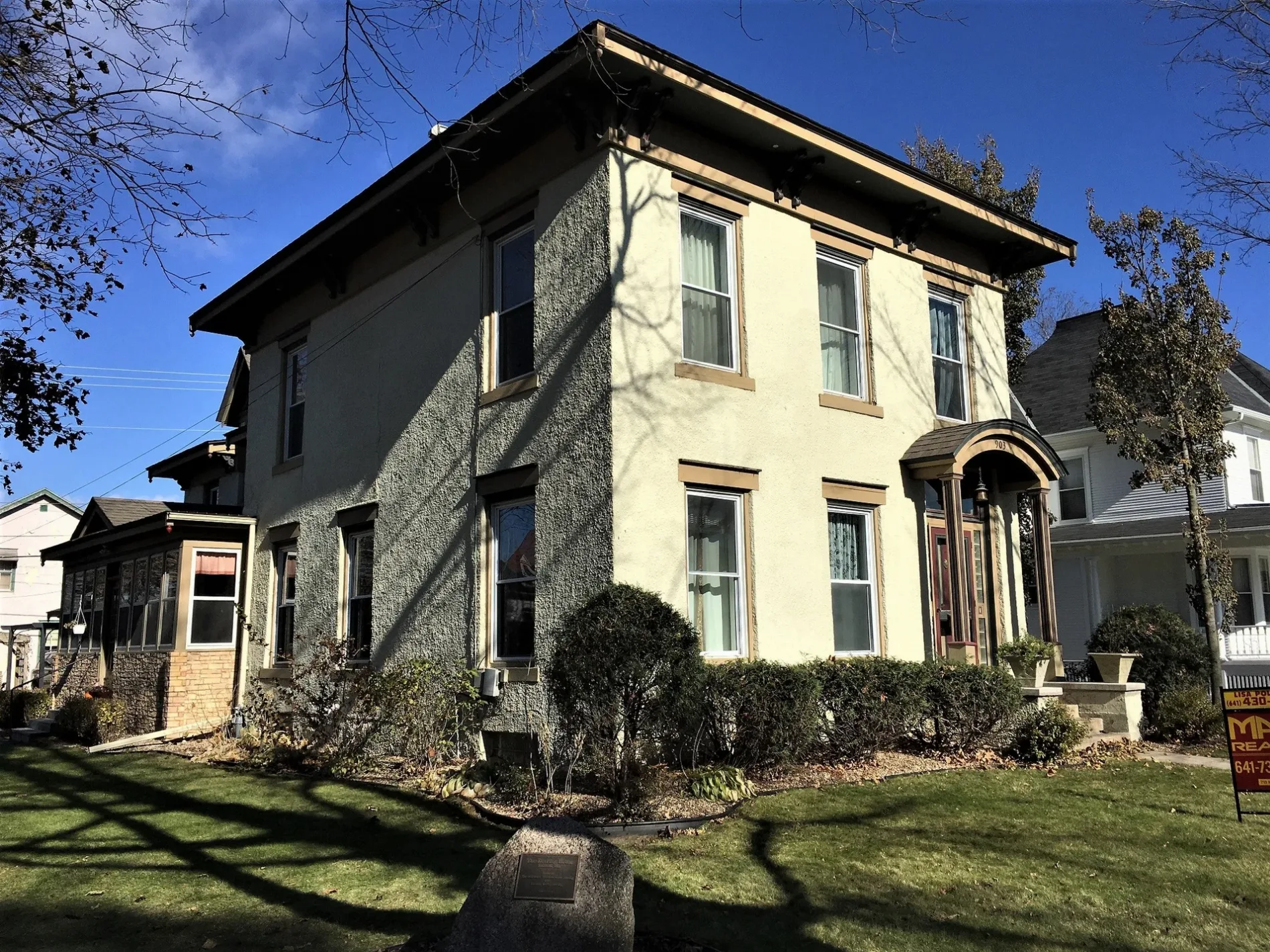
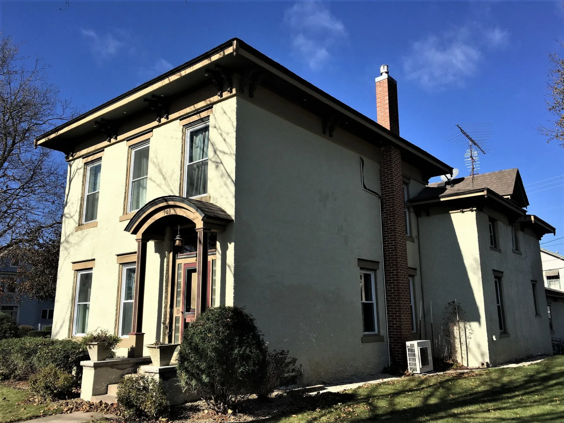
Streets in Osage, Iowa
Streets
Main Street
Stan's Drive In, Dungey's Furniture, Osage Veterinary Clinic, Eastside Automotive, Cresco Union Savings Bank, Cooper's Auto, Osage, Osage Fire Department, Osage Public Library, Osage Police Department, Home Trust and Savings Bank, S&S Locker, Spahn & Rose Lumber, First United Methodist Church, Osage City Hall, Watts Theater, Lea Brian's, Super 8
State StreetSacred Heart Catholic Church, Christian Missionary Church, United Church of Christ, Trinity Lutheran Church
Chase StreetDollar General, Tres Amigos, Osage Post Office
North 8th StreetKountry Kupboard, Kwik Star
Pleasant StreetSacred Heart School
Mechanic StreetFirst Baptist Church
Ash StreetOur Saviours Lutheran Church
North 5th StreetFirst Citizens National Bank
Davidson DriveFaith Lutheran Home
South 2nd Street
Lyndale Avenue
Park Street
North 11th Street
South 1st Street
County Road T42
North 6th Street
Maple Lane
Sunshine Court
Cherry Street
Lime Kiln Road
South 10th Street
South 12th Street
North 4th Street
North 12th Street
2nd Street
North 7th Street
South 5th Street
Wallace Road
North 10th Street
Gardner Street
South 7th Street
South 9th Street
Elm Court
Elm Street
North 14th Street
Vine Street
Colony Court
Oak Street
South 11th Street
5th Street
Division Street
Liberty Drive
Pine Street
North 13th Street
Chestnut Street
South 3rd Street
Kirkwood Court
Walnut Street
Poplar Street
North 9th Street
South 4th Street
South 8th Street
Presidential Court
350th Street
Nursery Avenue
North 2nd Street
Sawyer Drive
North 1st Street
Heritage Drive
South 13th Street
Maple Street
Who Let The Dogs Out?
Joseph Lessard Court
South 6th Street
North 3rd StreetAmenities
Buildings
Cemeteries
Commercial areas
Community centers
Courthouses
Dog parks
Industrial areas
Motels
Parks
Police stations
Sports fields
Variety stores
Public transit map Osage Legend
| Railway | |
| Bus | |
| Streetcar |
Bicycle map Osage Legend
| Bike path | |
| Bike lane on roadway | |
| Cycling allowed on bus lane | |
| Bicycle street | |
| Open to cyclists | |
| Open to cyclists, good path | |
| Cycling prohibited | |
| Cobblestone |
| Long-distance bike route | (depending on scale) | |
| Long-distance bike route |
Pedestrian map Osage Legend
| Path |
| Long-distance hiking trail | (depending on scale) | |
| Long-distance hiking trail | ||
| Pedestrians prohibited |