
South 4th Street in Osage, Iowa
South 4th Street in Osage is a residential street. It runs in a north-south direction starting from Oak Street and crosses Chestnut Street, Park Street, Vine Street, Elm Court, Elm Street, Cherry Street and Cedar Street and ends at Lyndale Avenue.
- Road Type
- residential street
- Route
- north-south
Image
Libraries
Fire stations
Hardware stores
Hair salons
Town halls
Nursing homes
Motels
Places of worship
Gas stations
Schools
Banks
Police stations
Butcher shops
Movie theaters
Cafes
Post offices
Auto repair shops
Streets nearby
South 5th Street0.1 mi
Elm Court0.1 mi
Oak Street0.2 mi
South 3rd Street0.2 mi
Park Street0.2 mi
South 6th Street0.2 mi
Vine Street0.2 mi
South 2nd Street0.2 mi
Elm Street0.2 mi
South 1st Street0.3 mi
South 7th Street0.3 mi
Cedar Street0.3 mi
Cherry Street0.3 mi
Chestnut Street0.3 mi
Main StreetStan's Drive In, Dungey's Furniture, Osage Veterinary Clinic, Eastside Automotive, Cresco Union Savings Bank, Cooper's Auto, Osage, Osage Fire Department, Osage Public Library, Osage Police Department, Home Trust and Savings Bank, S&S Locker, Spahn & Rose Lumber, First United Methodist Church, Osage City Hall, Watts Theater, Lea Brian's, Super 8
0.4 mi
State StreetSacred Heart Catholic Church, Christian Missionary Church, United Church of Christ, Trinity Lutheran Church
0.4 mi
2nd Street0.4 mi
Who Let The Dogs Out?0.4 mi
South 8th Street0.4 mi
Davidson DriveFaith Lutheran Home
0.4 mi
Lime Kiln Road0.4 mi
Heritage Drive0.4 mi
Sawyer Drive0.4 mi
Wallace Road0.5 mi
North 1st Street0.5 mi
Pleasant StreetSacred Heart School
0.5 mi
Mechanic StreetFirst Baptist Church
0.5 mi
Chase StreetOsage Post Office, Dollar General, Tres Amigos
0.5 mi
Kirkwood Avenue0.5 mi
South 9th Street0.5 mi
North 7th Street0.5 mi
North 5th StreetFirst Citizens National Bank
0.5 mi
Kirkwood Court0.5 mi
North 4th Street0.5 mi
Lyndale Avenue0.5 mi
South 10th Street0.6 mi
North 3rd Street0.6 mi
West Main Street0.6 mi
North 6th Street0.6 mi
North 9th Street0.6 mi
Walnut Street0.6 mi
Amenities nearby
Mitchell County Fairground0.6 mi
Commercial areas nearby
Osage Main Street Business Section0.5 mi
Community centers nearby
Cedar River Complex0.4 mi
Courthouses nearby
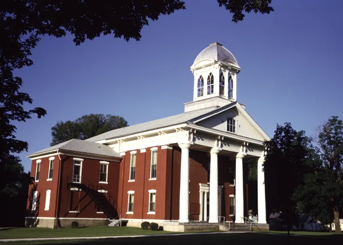
Mitchell County Courthouse0.3 mi
Dog parks nearby
Wes Carter Memorial Dog Park0.4 mi
Parks nearby
Osage City Park0.3 mi
Police stations nearby
Mitchell County Sheriffs Office0.3 mi
Sports fields nearby
Osage Football Field0.4 mi
Public transit map Osage Legend
| Railway | |
| Bus | |
| Streetcar |
Bicycle map Osage Legend
| Bike path | |
| Bike lane on roadway | |
| Cycling allowed on bus lane | |
| Bicycle street | |
| Open to cyclists | |
| Open to cyclists, good path | |
| Cycling prohibited | |
| Cobblestone |
| Long-distance bike route | (depending on scale) | |
| Long-distance bike route |
Pedestrian map Osage Legend
| Path |
| Long-distance hiking trail | (depending on scale) | |
| Long-distance hiking trail | ||
| Pedestrians prohibited |