
Muscatine, Iowa
Muscatine is located in Muscatine County. The region is located on the body of water Mississippi River. About 22,719 people live here. Between 2010 and 2020, the population grew from 22,886 to 23,797. The region is at 179 meters above sea level. The area covers about 49.9 square kilometers. There are about 800 streets in Muscatine. The region was founded in 1839. The ZIP codes are 52761. The dialing code is 563. Muscatine is city in and county seat of Muscatine County, Iowa, United States. Among other things, Muscatine has restaurants, supermarkets, museums, schools, banks, doctors and pharmacies. More information at muscatineiowa.gov.
Muscatine – Facts
| Population | 23797 |
|---|---|
| Area | 49.9 km² |
| Year built | 1839 |
| Elevation | 179 m |
| Located in | Muscatine County |
| Postal code | 52761 |
| Country | United States |
| Body of water | Mississippi River |
| Official name | Muscatine |
| Described by | Meyers Konversations-Lexikon, 4th edition (1885–1890), Encyclopædia Britannica 11th edition |
| Website | https://muscatineiowa.gov/ |
Data source: Wikidata (CC0)
Photos from Muscatine


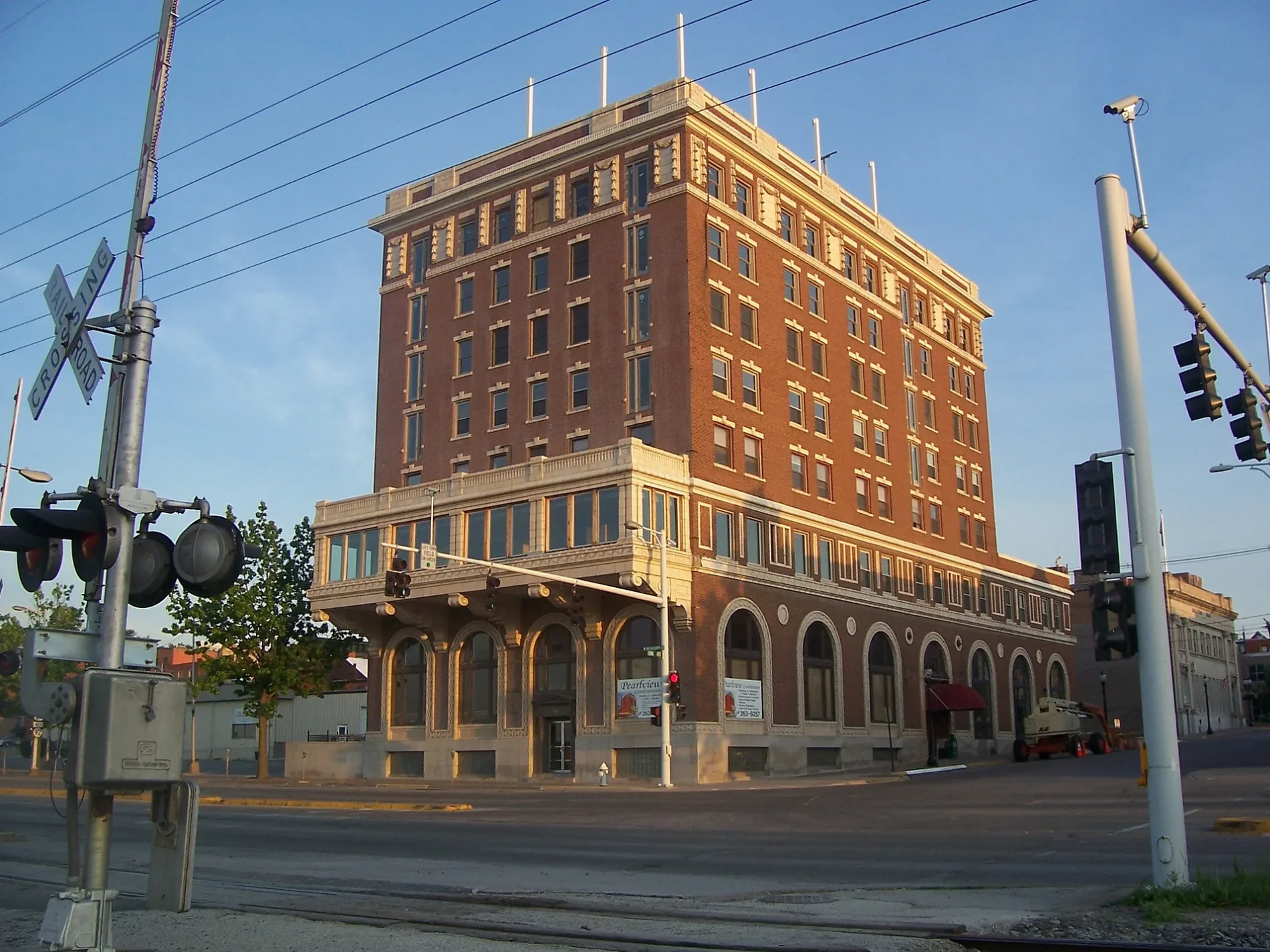
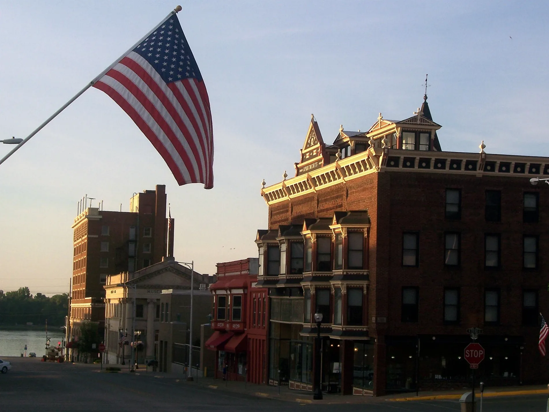
Streets in Muscatine, Iowa
Streets
Cedar Street
Muscatine Care Center, Muscatine Post Office, Fareway, Dairy Queen, DQ Grill & Chill, Muscatine Fire Department
North Port DriveALDI, Greenleaf Tobacco & Vape, Maid-Rite, Rent-A-Center, U.S. Cellular
Frontage RoadMuscatine Foot and Ankle Clinic, McDonald's, Pizza Hut, Burger King
Grandview AvenueShell, Casey's General Store, Hardee's
East 5th StreetMuscatine Police Department, Muscatine County Jail, Hy-Vee Pharmacy
Colorado StreetWalnut Park Church, Muscatine Iowa Associates Building, Members Community Credit Union
Cleveland StreetShell, Wendy's, Super 8
Mulberry AvenueCrescent Nursing and Rehabilitation Center, Church of Christ, Muscatine Art Center
Earl AvenueMusserville United Methodist Church, Musser Park Shelter
Park Avenue WestLocust Grove School, Church of the Living Waters
Love's Travel StopLove's, CAT Scale
East 6th StreetBnai Moses Synagogue, Christian Science Church
Iowa AvenueBig Cat's Cafe, Boonie's On the Avenue
Lucas StreetThe Church of Jesus Christ of Latter-day Saints, Mike's Hilltop Tap
Park AvenueKFC, Domino's
East 7th StreetNew Jerusalem Full Gospel Church
Washington StreetSaint Paul Hispanic Methodist Church
Hershey AvenueMulford Evangelical Free Church
Hancock StreetFirst United Pentecostal Church
Old US 61 Frontage RoadUnion School
Orange StreetHy-Vee
67th Avenue WestFruitland Baptist Church
West 7th StreetFirst Assembly of God Church
Cypress StreetGlad Tidings Church
East 2nd StreetBTCPower Charging Station, Musser Public Library
U.S. 61Panda Express
Jackson StreetChurch of the Nazarene
North Houser StreetPuerta Al Cielo Pentecostal Church
West 2nd StreetPearl Bottom Museum
Mill StreetClark's Muffler & Service
Lombard StreetMark Twain Scenic Overlook
Fillmore StreetCentro Christian Emanuel Church
East 9th StreetMount Zion Charismatic Church
Eisenhower StreetSeventh Day Adventist School
Oakview PlaceMidwestOne
Climer StreetKennedy School
Cedar Plaza DriveFirst National Bank of Muscatine, Cedar Branch
Bleeker StreetChurch of God
2nd AvenueHy-Vee Gas
Bond StreetTaylor Park Shelter
Newell AvenueGM Mini Mart
Steeple DriveFour Square Church
Sampson Street
Coventry Lane
Kirstin Court
Pearl View Court
5th Avenue
Parmalee Street
Bidwell Road
Wildwood Lane
Lake Park Boulevard
Lowe Street
Bryan Avenue
Newcomb Boulevard
Holly Street
Colony Drive
Buell Street
Walters Street
Cherry Lane
Eagle Watch Road
Busch Street
33rd Street South
Gobble Street
Bloomington Lane
Bandag Drive
Westfield Drive
Forest Parkway
Isett Avenue
Pine Street
Magnolia Circle
Cherry Street
Fairhaven StreetFast food restaurants
Houses
Residential areas
Waters
 Public transit map Muscatine Legend
| Railway | |
| Bus | |
| Streetcar |
 Bicycle map Muscatine Legend
| Bike path | |
| Bike lane on roadway | |
| Cycling allowed on bus lane | |
| Bicycle street | |
| Open to cyclists | |
| Open to cyclists, good path | |
| Cycling prohibited | |
| Cobblestone |
| Long-distance bike route | (depending on scale) | |
| Long-distance bike route |
 Pedestrian map Muscatine Legend
| Path |
| Long-distance hiking trail | (depending on scale) | |
| Long-distance hiking trail | ||
| Pedestrians prohibited |