
Cedar Street in Muscatine, Iowa
Cedar Street in Muscatine is a secondary road. It runs in a southeast-northwest direction and crosses Stonebrook Drive, Wood Creek Lane, Parham Street, East Fulliam Avenue, Bartlett Street, East 10th Street, East 9th Street, East 8th Street, East 7th Street, East 6th Street, East 5th Street and East 4th Street. Nearby you can find among others a nursing home, a post office, a supermarket and a restaurant. Cedar Street also exists in Fruitland and Wilton.
- Road Type
- service road
- Route
- southeast-northwest
Image
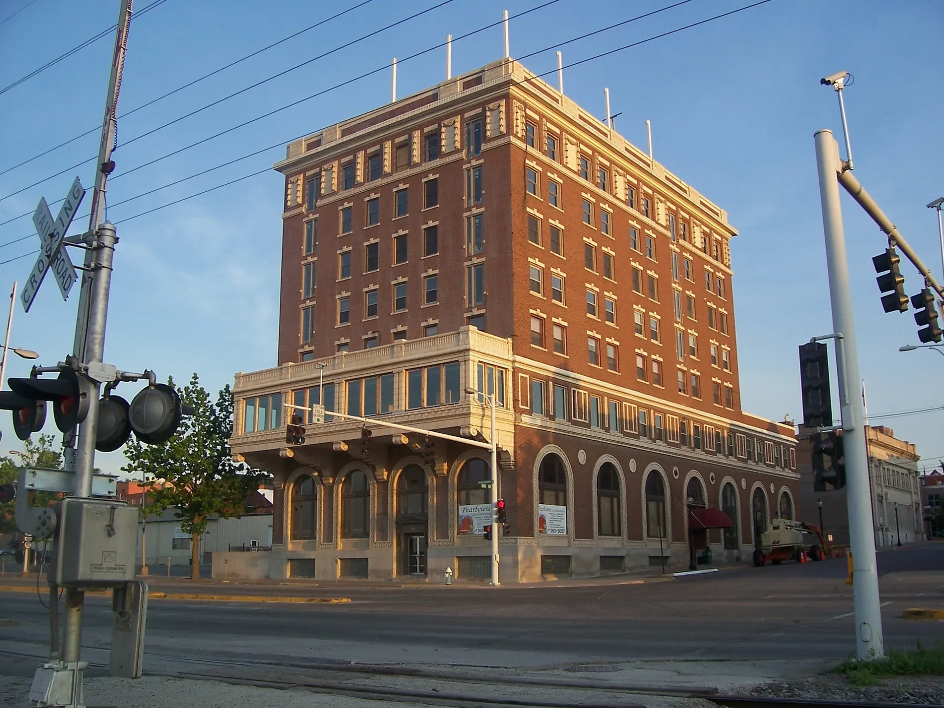
Nursing homes
Supermarkets
Fast food restaurants
Streets nearby
Iowa AvenueBig Cat's Cafe, Boonie's On the Avenue
0.1 mi
East 3rd Street0.2 mi
Harbor Drive0.2 mi
Mulberry AvenueCrescent Nursing and Rehabilitation Center, Church of Christ, Muscatine Art Center
0.2 mi
East 2nd StreetBTCPower Charging Station, Musser Public Library
0.2 mi
Orange StreetHy-Vee
0.2 mi
Walnut StreetMuscatine
0.2 mi
East 4th Street0.2 mi
West 2nd StreetPearl Bottom Museum
0.3 mi
Chestnut Street0.3 mi
Linn Street0.3 mi
Sycamore Street0.3 mi
East 6th StreetBnai Moses Synagogue, Christian Science Church
0.4 mi
Pine Street0.4 mi
East 7th StreetNew Jerusalem Full Gospel Church
0.5 mi
West 4th Street0.5 mi
Cypress StreetGlad Tidings Church
0.5 mi
East 8th Street0.5 mi
Spruce Street0.5 mi
West 6th Street0.5 mi
Locust Street0.5 mi
Oak Street0.5 mi
East 5th StreetMuscatine Police Department, Muscatine County Jail, Hy-Vee Pharmacy
0.6 mi
West 9th Street0.6 mi
Spring Street0.6 mi
Hershey Court0.6 mi
East 10th Street0.6 mi
East 9th StreetMount Zion Charismatic Church
0.6 mi
Apartment buildings nearby
Welch Apartments0.2 mi
Clark House Apartments0.3 mi
Buildings nearby
S. M. McKibben House400 ft
Courthouses nearby
Muscatine County Courthouse0.2 mi
Hotels nearby
The Merrill Hotel, Muscatine, a Tribute Portfolio Hotel0.2 mi
Houses nearby
Old Muscatine Iowa Jail0.3 mi
Alexander Clark house0.3 mi
Winn-Stein House0.3 mi
Pliny and Adelia Fay House0.5 mi
Stone-Richman-Musser House0.5 mi
Libraries nearby
Musser Public Library0.1 mi
Parks nearby
Riverside Park0.2 mi
Places of worship nearby
Vineyard Christian Fellowship Church0.1 mi
Trinity Episcopal Church Muscatine0.1 mi
First Presbyterian Church0.3 mi
Wesley United Methodist Church0.3 mi
Zion Lutheran Church0.4 mi
Saint Mary & Saint Mathias Catholic Church0.6 mi
Railways nearby
Ottumwa Subdivision0.4 mi
Streams nearby
Mad Creek0.4 mi
Town halls nearby
Muscatine City Hall0.1 mi
Public transit map Muscatine Legend
| Railway | |
| Bus | |
| Streetcar |
Bicycle map Muscatine Legend
| Bike path | |
| Bike lane on roadway | |
| Cycling allowed on bus lane | |
| Bicycle street | |
| Open to cyclists | |
| Open to cyclists, good path | |
| Cycling prohibited | |
| Cobblestone |
| Long-distance bike route | (depending on scale) | |
| Long-distance bike route |
Pedestrian map Muscatine Legend
| Path |
| Long-distance hiking trail | (depending on scale) | |
| Long-distance hiking trail | ||
| Pedestrians prohibited |