
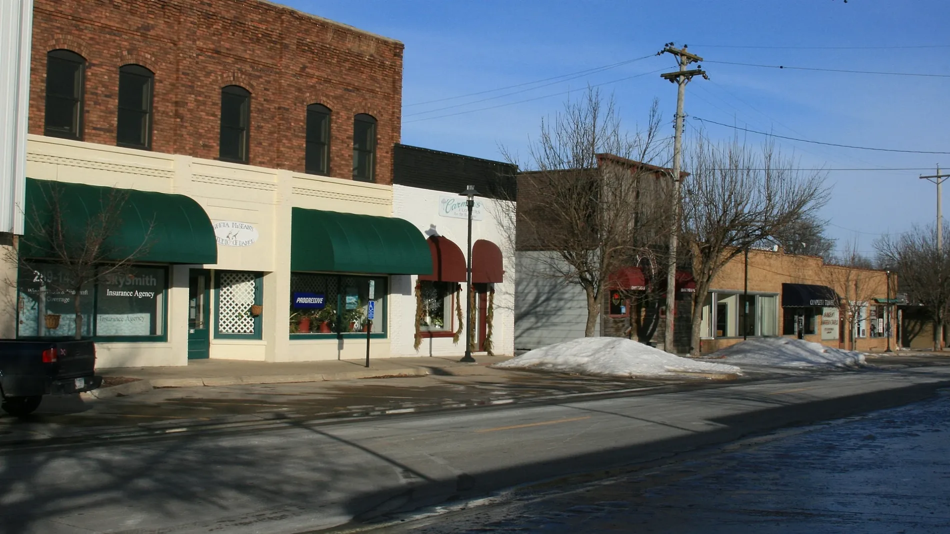
Southwest Maple Street in Ankeny, Iowa
Southwest Maple Street in Ankeny is a residential street and runs in a north-south direction starting from West 1st Street and ends at Southwest 2nd Street.
- Road Type
- residential street
- Route
- north-south
Image
Bus stops
Bike shops
Bars
Gas stations
Fast food restaurants
Recycling stations
Thrift stores
Restaurants
Electronics stores
Beauty salons
Tobacco shops
Hardware stores
Dentist offices
Pharmacies
Art galleries
Cafes
Medical supply stores
Laundries
Variety stores
Streets nearby
Southwest 2nd Street350 ft
Southwest Cherry Street400 ft
High Trestle Trail550 ft
West 1st StreetAnkeny, Hawkeye Park & Ride, Harvest Community Church, Tan Sanity, Ankeny Animal Health Clinic, Ambrosia Donuts, Emma's Nails, Backspin Indoor Golf and Bar
0.1 mi
Southwest Scott Street0.1 mi
Southwest 3rd StreetWalnut Street Gallery, Ranallo's on 3rd, RynoVelo Bike Shop, Casey's General Store
0.1 mi
Southwest 2nd Street Place0.1 mi
Southwest Walnut StreetUptown Garage Brewing Co.
0.1 mi
Northwest Ash Drive0.2 mi
Southwest 4th Street0.2 mi
Southwest Des Moines Street0.2 mi
Southwest Pleasant Street0.2 mi
Northwest Des Moines Street0.2 mi
Northwest 2nd Street0.3 mi
Northwest 3rd Street0.3 mi
Northwest Lakeshore Drive0.3 mi
Northwest Kline Street0.3 mi
Northwest Kimberly Circle0.4 mi
Northwest 5th StreetAmigos Mexican Grill, Beltone, Little Free Library
0.4 mi
Northwest Pleasant Street0.4 mi
Northwest Cindy Lane0.4 mi
Northwest Maple Street0.4 mi
Bars nearby
Trailside Tap450 ft
Buildings nearby
Metal Tech300 ft
Quilter's Cupboard350 ft
Hykes Gallery450 ft
Firetrucker Brewery450 ft
Hensley Concrete Coatings0.1 mi
Ankeny Bandshell0.1 mi
Ankeny Market Village0.1 mi
Albaugh Family Senior Community Center0.1 mi
Lakeside Center0.3 mi
Churches nearby
Hope Church of the Nazarene0.4 mi
Community centers nearby
American Legion Post #420.1 mi
Dentist's offices nearby
Ankeny Dental Center0.2 mi
Doctor's offices nearby
Mercy Gerhart Clinic0.2 mi
Parks nearby
Ankeny Market & Pavillion450 ft
Haubert Park0.1 mi
Wagner Park0.2 mi
Hawkeye Park0.2 mi
Places of worship nearby
Ankeny Apostolic Assembly0.2 mi
First Church of Christ0.3 mi
Residential areas nearby
Ankeny Uptown Lofts0.1 mi
Ankeny Village0.2 mi
Restaurants nearby
Uptown0.1 mi
Yankee Clipper0.1 mi
Leaning Tower of Pizza0.1 mi
Shoe stores nearby
Veach Shoe Repair500 ft
Town halls nearby
Ankeny City Hall0.2 mi
Public transit map Ankeny Legend
| Railway | |
| Bus | |
| Streetcar |
Bicycle map Ankeny Legend
| Bike path | |
| Bike lane on roadway | |
| Cycling allowed on bus lane | |
| Bicycle street | |
| Open to cyclists | |
| Open to cyclists, good path | |
| Cycling prohibited | |
| Cobblestone |
| Long-distance bike route | (depending on scale) | |
| Long-distance bike route |
Pedestrian map Ankeny Legend
| Path |
| Long-distance hiking trail | (depending on scale) | |
| Long-distance hiking trail | ||
| Pedestrians prohibited |