
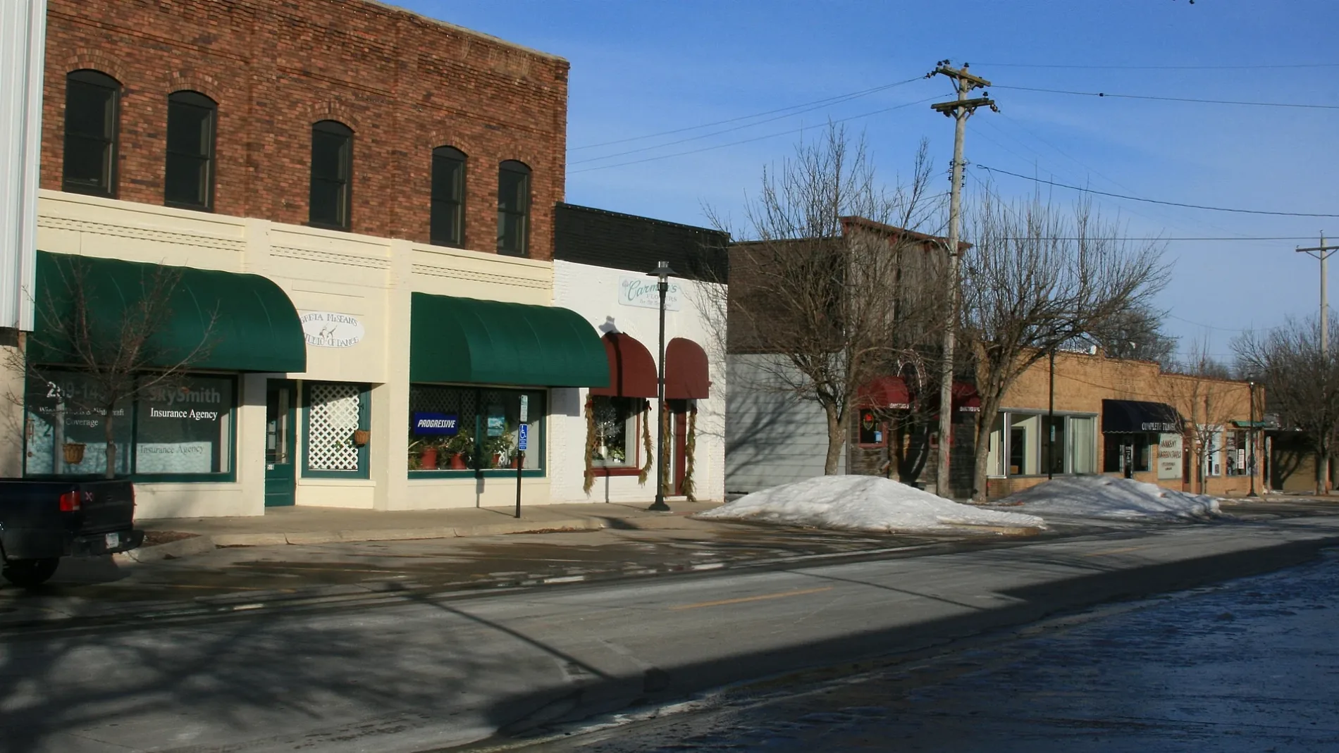
Southwest Walnut Street in Ankeny, Iowa
Southwest Walnut Street in Ankeny is a residential street. It runs in a north-south direction starting from West 1st Street and crosses Southwest 2nd Street, Southwest 3rd Street, Southwest Railroad Avenue and Southwest 6th Street and ends at Southwest Ordnance Road. Nearby there is a bar.
- Road Type
- residential street
- Speed Limit
- 25 mph
- Route
- north-south
Image
Bars
Streets nearby
Southwest 6th Street200 ft
Southwest Ordnance RoadAnkeny Area Redemption Center, Joy, Shade Tree Auto
0.1 mi
Southwest Railroad Avenue0.1 mi
Southwest Maple Street0.1 mi
Southwest 5th Street0.1 mi
Southwest Southlawn Dr Access0.2 mi
Southwest 4th Street0.2 mi
Southwest Southlawn Cir Access0.2 mi
Southwest Southlawn Drive0.2 mi
Southwest Southlawn Circle0.2 mi
Southwest Logan Street0.3 mi
Southwest School Street0.3 mi
South Ankeny BoulevardCroz Nest, Wig & Pen, Imperial RV Center, Shear Intensity
0.3 mi
Southeast Eastlawn DriveSomething Blue, Strawberry Patch
0.4 mi
Southeast Grant StreetAnkeny Music Center
0.4 mi
Southeast Park View Drive0.4 mi
Southwest 3rd StreetCasey's General Store, Walnut Street Gallery, Ranallo's on 3rd, RynoVelo Bike Shop
0.4 mi
Southeast Oak Drive0.5 mi
High Trestle Trail0.6 mi
Appliance stores nearby
Ed Ware's Appliances0.2 mi
Auto repair shops nearby
Valvoline Instant Oil Change0.3 mi
Buildings nearby
Wooden Spoons and Apron Strings0.3 mi
Great American Outdoor0.3 mi
CenturyLink0.3 mi
Country Estates Realty Company0.4 mi
Car dealerships nearby
Ankeny Transmission0.2 mi
Car Smart0.4 mi
Car rentals nearby
Enterprise0.3 mi
Cell phone stores nearby
Leydens Cellular0.4 mi
Convenience stores nearby
Casey's General Store0.4 mi
Dentist's offices nearby
Ankeny Dental Center0.2 mi
Dry cleaners nearby
Huxley Cleaners & Laundromat0.3 mi
Fast food restaurants nearby
DQ Grill & Chill0.3 mi
California Pizza0.3 mi
Taco John's0.4 mi
McDonald's0.4 mi
Museums nearby
Ankeny Historical Museum0.3 mi
Places of worship nearby
Ankeny Seventh Day Adventist Church0.2 mi
Ankeny Church of Christ0.3 mi
Ankeny Church of the Brethren0.4 mi
Police stations nearby
Ankeny Police Department0.3 mi
Residential areas nearby
Southlawn Place0.3 mi
Peters Belmont Park0.5 mi
Restaurants nearby
Yanni's Grill and Vineyard0.3 mi
Portofino's0.4 mi
School buildings nearby
Neveln Resource Center0.2 mi
District Administration Office0.2 mi
Variety stores nearby
Dollar General0.5 mi
Veterinary clinics nearby
Ankeny Animal and Avian Clinic0.3 mi
Public transit map Ankeny Legend
| Railway | |
| Bus | |
| Streetcar |
Bicycle map Ankeny Legend
| Bike path | |
| Bike lane on roadway | |
| Cycling allowed on bus lane | |
| Bicycle street | |
| Open to cyclists | |
| Open to cyclists, good path | |
| Cycling prohibited | |
| Cobblestone |
| Long-distance bike route | (depending on scale) | |
| Long-distance bike route |
Pedestrian map Ankeny Legend
| Path |
| Long-distance hiking trail | (depending on scale) | |
| Long-distance hiking trail | ||
| Pedestrians prohibited |