
Chamberlain Place in Ames, Iowa
Chamberlain Place in Ames is a service road. It runs in a north-south direction starting from Chamberlain Street and ends at Hunt Street. Nearby you can find a restaurant and a hair salon. The nearest bus stop is Welch Avenue at Chamberlain Street Southbound (about 50 m away).
- Road Type
- service road
- Route
- north-south
Image
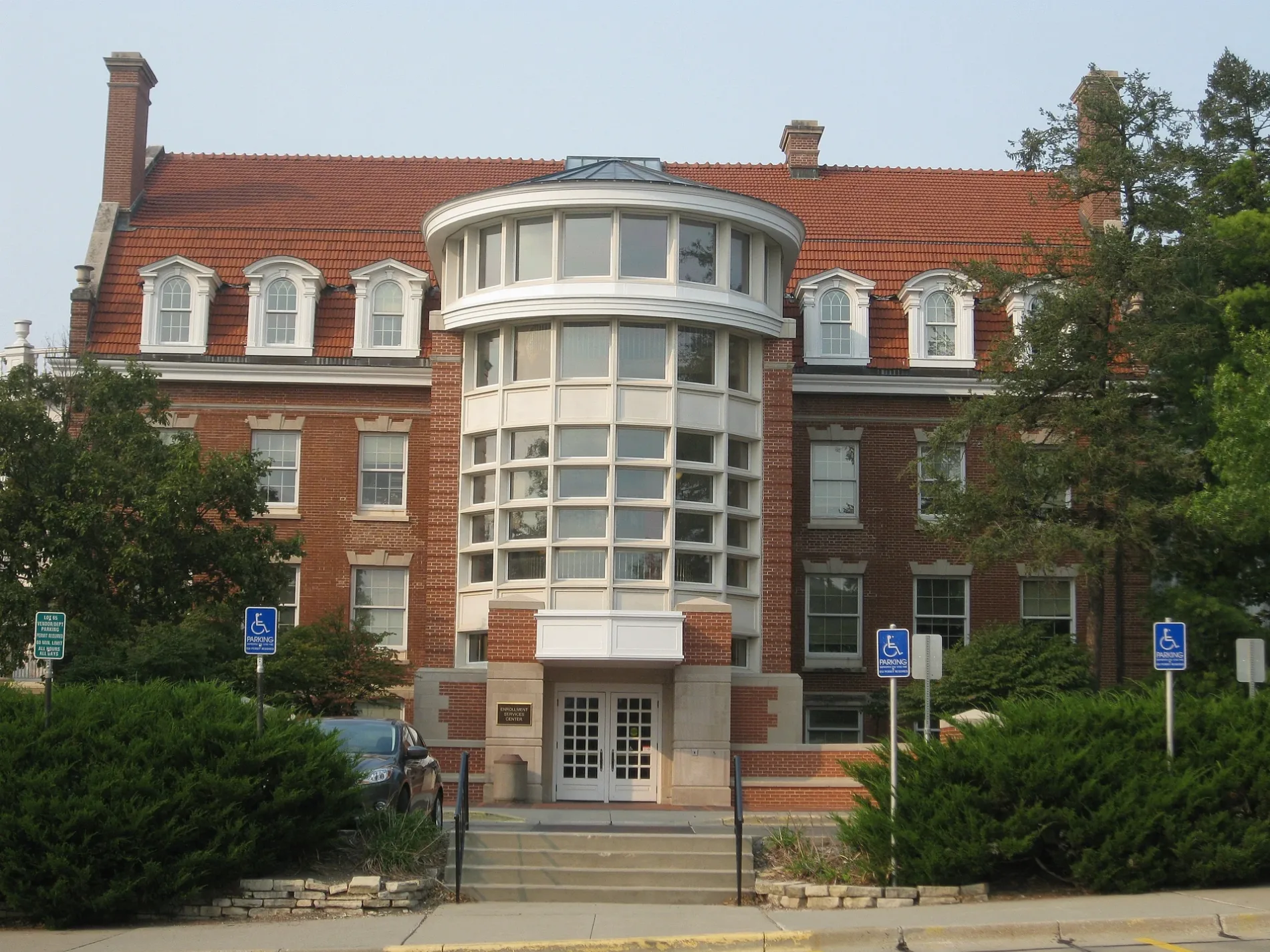
Streets nearby
Chamberlain StreetJimmy John's, First National Bank, Bongo's Smoke Shop, Thai Kitchen, Sips, Just Between Thieves, Campustown Mural
200 ft
Hunt StreetStomping Grounds Cafe, The Blue Owl Bar
250 ft
Welch AvenueWelch Avenue at Chamberlain Street Northbound, Cyclone Twister, Subway, Paddy's Irish Pub, Mickey's Irish Pub, University Barbers, The Asylum, Chicha Shack, Wok N Roll, Campus Cuts, Blue Fish Hawaii Poke Bowl, Tea Time, Wells Fargo, Welch Avenue at Knapp Street Southbound, Welch Ave. Station, Welch Avenue at Knapp Street Northbound, Welch Avenue at Chamberlain Street Southbound, Insomnia Cookies, Dogtown University
300 ft
Hayward AvenueJoy's Mongolian Grill, India Palace, Domino's, Power Tennis, Jefferson Lines, Ames EV Intermodal, Hayward Avenue at Wilson Hall Southbound, Hayward Avenue at Wilson Hall Northbound
0.1 mi
Sheldon Avenue0.2 mi
Beyer CourtUnion Drive, Clyde's Gastro Diner
0.2 mi
Arbor Street0.2 mi
South Hyland Avenue0.2 mi
North Hyland AvenueHyland Avenue at Lincoln Way Southbound, Hyland Avenue at Lincoln Way Northbound, Hyland Avenue at Ontario Street Southbound, Hyland Avenue at Forest Hills Drive Southbound, Hyland Avenue at Oakland Street Southbound, Hyland Avenue at Ross Road Northbound, Hyland Avenue at Forest Hills Drive Northbound, Hyland Avenue at Sheldon Avenue Northbound
0.3 mi
Amenities nearby
Alpha Kappa Lambda0.2 mi
Apartment buildings nearby
Public House100 ft
Campus View200 ft
Chamberlain Lofts300 ft
Campus Flats400 ft
Union on Lincoln Way0.2 mi
Auto repair shops nearby
Campus Garage0.3 mi
Banks nearby
U.S. Bank0.1 mi
Bars nearby
Outlaws150 ft
Cy's Roost400 ft
Buildings nearby
Crystal Clean Windows100 ft
Campustown Clock Tower300 ft
Theta Xi500 ft
Adelante0.1 mi
The Annex of Collegiate United Methodist Church and Wesley Foundation0.1 mi
Clinics nearby
Planned Parenthood - Ames Health Center250 ft
Clothing stores nearby
Portobello Road500 ft
Commercial buildings nearby
Kingland Building0.1 mi
Community centers nearby
Lighthouse Campus Fellowship0.2 mi
Dormitories nearby
Friley Residence Hall0.2 mi
Fast food restaurants nearby
Dunkin'0.2 mi
Gas stations nearby
Kum & Go250 ft
Hotels nearby
Iowa House0.2 mi
Liquor stores nearby
AJ's Liquor250 ft
Parking lots nearby
Ames Intermodal Facility400 ft
Parks nearby
Campustown Court350 ft
Seating Area0.3 mi
Residential areas nearby
Arbor Hills Apartments0.2 mi
Suites on Lincoln Way0.2 mi
Hyland Apartments0.3 mi
Sheldon Apartments0.3 mi
Residential buildings nearby
Welch Crown Center200 ft
Pi Kappa Phi0.1 mi
Restaurants nearby
Little Taipei100 ft
Ichiban Japanese Restaurant500 ft
Macubana550 ft
Sports fields nearby
Cap Timm Field0.2 mi
Streams nearby
College Creek0.3 mi
University buildings nearby
State Gymnasium0.3 mi
Paintball Storage0.3 mi
 Public transit map Ames Legend
| Railway | |
| Bus | |
| Streetcar |
 Bicycle map Ames Legend
| Bike path | |
| Bike lane on roadway | |
| Cycling allowed on bus lane | |
| Bicycle street | |
| Open to cyclists | |
| Open to cyclists, good path | |
| Cycling prohibited | |
| Cobblestone |
| Long-distance bike route | (depending on scale) | |
| Long-distance bike route |
 Pedestrian map Ames Legend
| Path |
| Long-distance hiking trail | (depending on scale) | |
| Long-distance hiking trail | ||
| Pedestrians prohibited |