
Farm House Road in Ames, Iowa
Farm House Road in Ames is a service road and it runs in a north-south direction and crosses Wallace Road and Osborn Drive. This street is part of the Bicycle route "Farm House Lane". Nearby you can find a cafe and an artwork. The nearest bus stop is Wallace Road at East Parking Deck (about 50 m away).
- Bicycle
- designated
- Road Type
- service road
- Route
- north-south
Image
Streets nearby
Wallace RoadWallace Road at Gerdin Hall, Wallace Road at East Parking Deck, Food Sciences Building, Wallace Road at Forker Hall, Ice Blue, General Services West, Agronomy Hall
400 ft
Union DriveFountain of the Four Seasons, Memoral Union North, Business Cafe, Campanile, Untitled, Upper Friley, Student Services, Air Spiral, Union Drive Marketplace, Friley Windows, West Side Market, Union Drive at the Knoll, Beyer Hall, Whirlybird's, Three Athletes, Lake Laverne North, State Gym
0.1 mi
Carrie Lane CourtRichardson Court
0.1 mi
Knoll Road0.2 mi
Richardson CourtConversations
0.2 mi
Plaza of Heroines0.2 mi
Morrill RoadMorrill Road at Memorial Union, Memorial Union Food Court, Lance and Ellie's, MU Market & Café, Morrill Road at Union Drive, Beardshear Hall, Parks Library East, Panthers, Forward, Bighorn Sheep, Epilogue, Mujer Pegada Series No. 1, Transformation, Procession
0.2 mi
Osborn DriveLush Auditorium, Bessey Hall, Physics Hall, Kildee Hall, Gilman Hall, Parks Library North, Coover Hall, ISU Police, Armory
0.2 mi
Gray Avenue0.3 mi
Buildings nearby
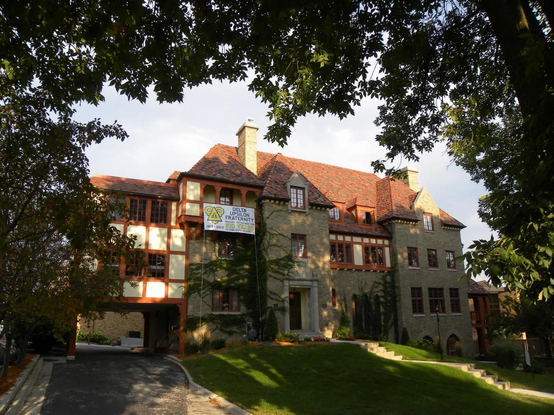
Delta Upsilon0.3 mi
Commercial areas nearby
Campustown0.3 mi
Dormitories nearby
Lyon Residence Hall450 ft
Freeman Residence Hall500 ft
Roberts Residence Hall0.1 mi
Barton Residence Hall0.1 mi
Oak-Elm Residence Hall0.1 mi
Welch Residence Hall0.2 mi
Birch Residence Hall0.2 mi
Geoffroy Hall0.2 mi
Buchanan Residence Hall0.2 mi
Fountains nearby
Marriage Ring0.2 mi
Houses nearby
Knoll0.2 mi
Museums nearby
Farm House Museum0.1 mi
Parking lots nearby
East Parking Deck250 ft
Parks nearby
Central Campus400 ft
Places of worship nearby
St Thomas Aquinas Church & Catholic Student Center0.2 mi
Memorial Lutheran Church0.3 mi
Streams nearby
College Creek0.3 mi
University buildings nearby
East Hall200 ft
Heady Hall350 ft
Curtiss Hall400 ft
Gerdin Business Building400 ft
Sloss House450 ft
Ross Hall450 ft
Landscape Architecture Building0.1 mi
Jischke Honors Building0.1 mi
Hamilton Hall0.1 mi
Campanile0.1 mi
Memorial Union0.2 mi
Forker Building0.2 mi
Troxel Hall0.2 mi
Horticulture Hall0.2 mi
General Services Building0.2 mi
Bessey Hall0.2 mi
Catt Hall0.2 mi
Palmer Building0.2 mi
Agronomy Hall0.2 mi
Bessey Hall Addition0.2 mi
Iowa Farm Bureau Pavilion0.2 mi
Public transit map Ames Legend
| Railway | |
| Bus | |
| Streetcar |
Bicycle map Ames Legend
| Bike path | |
| Bike lane on roadway | |
| Cycling allowed on bus lane | |
| Bicycle street | |
| Open to cyclists | |
| Open to cyclists, good path | |
| Cycling prohibited | |
| Cobblestone |
| Long-distance bike route | (depending on scale) | |
| Long-distance bike route |
Pedestrian map Ames Legend
| Path |
| Long-distance hiking trail | (depending on scale) | |
| Long-distance hiking trail | ||
| Pedestrians prohibited |